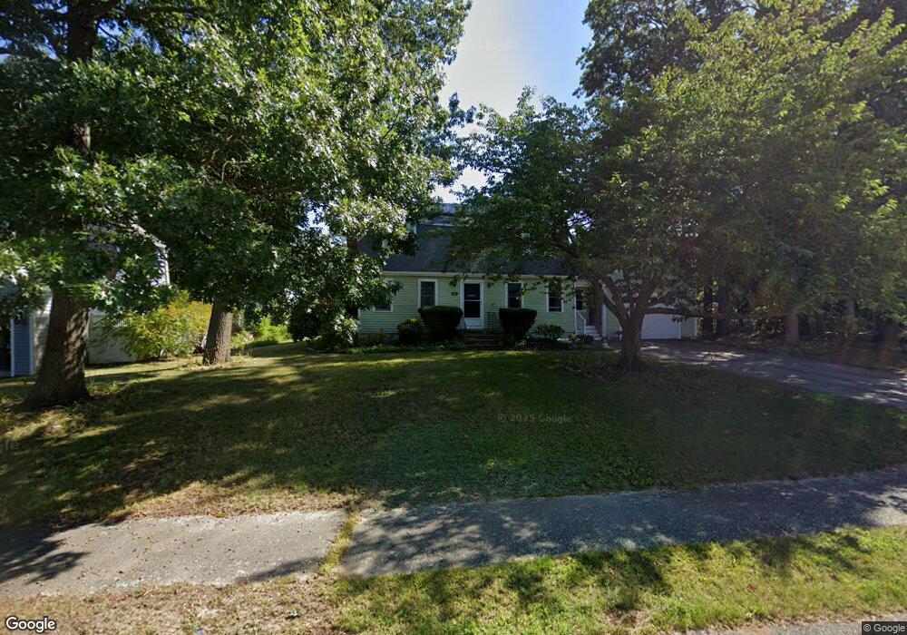
67 Station St Scituate, MA 02066
Estimated Value: $819,651 - $1,149,000
3
Beds
2
Baths
1,804
Sq Ft
$522/Sq Ft
Est. Value
About This Home
This home is located at 67 Station St, Scituate, MA 02066 and is currently estimated at $941,663, approximately $521 per square foot. 67 Station St is a home located in Plymouth County with nearby schools including Jenkins Elementary School, Lester J. Gates Middle School, and Scituate High School.
Ownership History
Date
Name
Owned For
Owner Type
Purchase Details
Closed on
Oct 19, 2007
Sold by
Ernest Marion F
Bought by
Nyberg John D and Meyers-Nyberg Brynn H
Current Estimated Value
Home Financials for this Owner
Home Financials are based on the most recent Mortgage that was taken out on this home.
Original Mortgage
$370,000
Outstanding Balance
$233,537
Interest Rate
6.51%
Mortgage Type
Purchase Money Mortgage
Estimated Equity
$708,126
Purchase Details
Closed on
Sep 28, 2000
Sold by
Huth P Jeffrey and Huth Karen G
Bought by
Ernest Richard F and Ernest Marion F
Purchase Details
Closed on
Jun 30, 1995
Sold by
Hollis Craig B and Hollis Ellen M
Bought by
Huth P Jeffrey and Huth Karen G
Purchase Details
Closed on
Apr 1, 1988
Sold by
Stone-Carroll Inc
Bought by
Hollis Craig B
Create a Home Valuation Report for This Property
The Home Valuation Report is an in-depth analysis detailing your home's value as well as a comparison with similar homes in the area
Home Values in the Area
Average Home Value in this Area
Purchase History
| Date | Buyer | Sale Price | Title Company |
|---|---|---|---|
| Nyberg John D | $462,500 | -- | |
| Ernest Richard F | $325,000 | -- | |
| Huth P Jeffrey | $205,000 | -- | |
| Hollis Craig B | $212,000 | -- |
Source: Public Records
Mortgage History
| Date | Status | Borrower | Loan Amount |
|---|---|---|---|
| Open | Hollis Craig B | $370,000 | |
| Previous Owner | Hollis Craig B | $25,000 | |
| Previous Owner | Hollis Craig B | $180,000 |
Source: Public Records
Tax History
| Year | Tax Paid | Tax Assessment Tax Assessment Total Assessment is a certain percentage of the fair market value that is determined by local assessors to be the total taxable value of land and additions on the property. | Land | Improvement |
|---|---|---|---|---|
| 2025 | $6,976 | $698,300 | $358,600 | $339,700 |
| 2024 | $6,828 | $659,100 | $326,000 | $333,100 |
| 2023 | $6,795 | $625,400 | $312,900 | $312,500 |
| 2022 | $6,795 | $538,400 | $276,500 | $261,900 |
| 2021 | $6,577 | $493,400 | $263,400 | $230,000 |
| 2020 | $6,417 | $475,300 | $253,200 | $222,100 |
| 2019 | $6,290 | $457,800 | $248,200 | $209,600 |
| 2018 | $6,278 | $450,000 | $261,700 | $188,300 |
| 2017 | $6,093 | $432,400 | $251,200 | $181,200 |
| 2016 | $5,819 | $411,500 | $230,300 | $181,200 |
| 2015 | $5,253 | $401,000 | $219,800 | $181,200 |
Source: Public Records
Map
Nearby Homes
- 46 Tilden Rd
- 50 First Parish Rd
- 111 Elm St
- 38 Lauren Ln
- 1 Washington Ln
- 59 Greenfield Ln
- 115 Elm St
- 91 Front St Unit 106
- 25 Morton Place
- 21 Jenkins Place
- 20 Grace Way Unit 20
- 6 Grace Way Unit 6
- 27 Grace Way
- 20 Lee Ave
- 49 Jackson Rd
- 19 Ford Place Unit 1
- 19 Ford Place Unit 2
- 98 Satuit Trail
- 11 Brookline Rd
- 327 Country Way
Your Personal Tour Guide
Ask me questions while you tour the home.