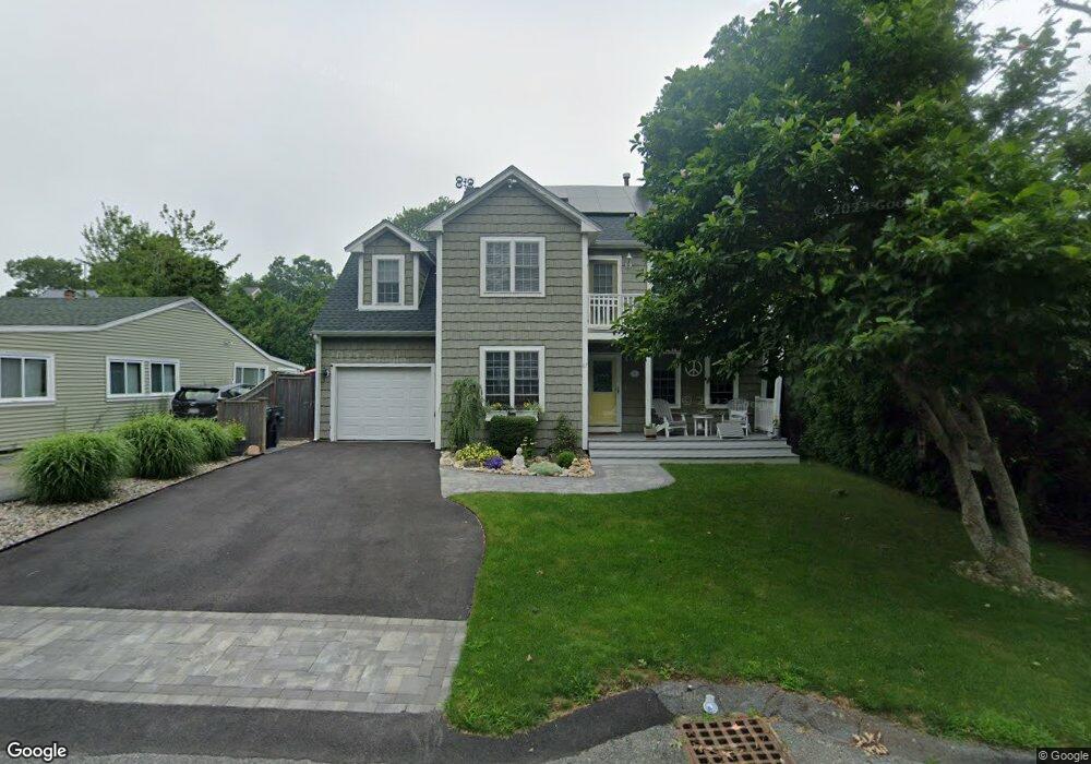
67 Stoneledge Rd South Dartmouth, MA 02748
Dartmouth Community Park NeighborhoodEstimated Value: $750,000 - $1,177,000
5
Beds
3
Baths
2,216
Sq Ft
$420/Sq Ft
Est. Value
About This Home
This home is located at 67 Stoneledge Rd, South Dartmouth, MA 02748 and is currently estimated at $931,164, approximately $420 per square foot. 67 Stoneledge Rd is a home located in Bristol County with nearby schools including Dartmouth High School and St. Teresa of Calcutta School.
Ownership History
Date
Name
Owned For
Owner Type
Purchase Details
Closed on
Nov 30, 2018
Sold by
Jauch James W and Jauch Walter K
Bought by
Jauch James W
Current Estimated Value
Purchase Details
Closed on
May 6, 1998
Sold by
Verissimo Jose A and Desousa Jose T
Bought by
Jauch James W and Jauch Tara D
Home Financials for this Owner
Home Financials are based on the most recent Mortgage that was taken out on this home.
Original Mortgage
$110,000
Interest Rate
7.05%
Mortgage Type
Purchase Money Mortgage
Create a Home Valuation Report for This Property
The Home Valuation Report is an in-depth analysis detailing your home's value as well as a comparison with similar homes in the area
Home Values in the Area
Average Home Value in this Area
Purchase History
| Date | Buyer | Sale Price | Title Company |
|---|---|---|---|
| Jauch James W | -- | -- | |
| Jauch James W | $210,000 | -- |
Source: Public Records
Mortgage History
| Date | Status | Borrower | Loan Amount |
|---|---|---|---|
| Previous Owner | Jauch James W | $110,000 |
Source: Public Records
Tax History Compared to Growth
Tax History
| Year | Tax Paid | Tax Assessment Tax Assessment Total Assessment is a certain percentage of the fair market value that is determined by local assessors to be the total taxable value of land and additions on the property. | Land | Improvement |
|---|---|---|---|---|
| 2025 | $5,772 | $670,400 | $270,600 | $399,800 |
| 2024 | $5,632 | $648,100 | $258,800 | $389,300 |
| 2023 | $5,488 | $598,500 | $235,300 | $363,200 |
| 2022 | $5,087 | $513,800 | $221,200 | $292,600 |
| 2021 | $4,840 | $467,200 | $203,300 | $263,900 |
| 2020 | $4,877 | $469,800 | $207,800 | $262,000 |
| 2019 | $4,764 | $458,100 | $205,600 | $252,500 |
| 2018 | $4,652 | $432,300 | $199,900 | $232,400 |
| 2017 | $4,276 | $426,700 | $199,300 | $227,400 |
| 2016 | $4,177 | $411,100 | $186,400 | $224,700 |
| 2015 | $4,213 | $415,500 | $188,300 | $227,200 |
| 2014 | $3,897 | $381,700 | $159,900 | $221,800 |
Source: Public Records
Map
Nearby Homes
- 65 Stoneledge Rd
- 69 Stoneledge Rd
- 83 William St
- 81 William St
- 85 William St
- 79 William St
- 66 Stoneledge Rd
- 68 Stoneledge Rd
- 68 Stoneledge Rd
- 89 William St
- 89 William St Unit A
- 89 William St Unit 1
- 56 Stoneledge Rd
- 55 Stoneledge Rd
- 8 Hannah St
- 90 Stoneledge Rd
- 93 William St
- 85 Stoneledge Rd
- 29 Stoneledge Rd
- 32 Sunset Ln