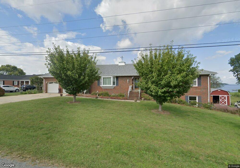
67 Sunset Cir Colonial Beach, VA 22443
Estimated Value: $546,000 - $657,000
Studio
3
Baths
4,574
Sq Ft
$130/Sq Ft
Est. Value
About This Home
This home is located at 67 Sunset Cir, Colonial Beach, VA 22443 and is currently estimated at $594,566, approximately $129 per square foot. 67 Sunset Cir is a home located in Westmoreland County with nearby schools including Montross Middle School and Westmoreland High School.
Ownership History
Date
Name
Owned For
Owner Type
Purchase Details
Closed on
Dec 30, 2008
Sold by
Thomas Robert P
Bought by
Gray Donald L
Current Estimated Value
Home Financials for this Owner
Home Financials are based on the most recent Mortgage that was taken out on this home.
Original Mortgage
$200,000
Outstanding Balance
$131,324
Interest Rate
6.17%
Mortgage Type
New Conventional
Estimated Equity
$463,242
Create a Home Valuation Report for This Property
The Home Valuation Report is an in-depth analysis detailing your home's value as well as a comparison with similar homes in the area
Home Values in the Area
Average Home Value in this Area
Purchase History
| Date | Buyer | Sale Price | Title Company |
|---|---|---|---|
| Gray Donald L | $200,000 | -- |
Source: Public Records
Mortgage History
| Date | Status | Borrower | Loan Amount |
|---|---|---|---|
| Open | Gray Donald L | $200,000 |
Source: Public Records
Tax History
| Year | Tax Paid | Tax Assessment Tax Assessment Total Assessment is a certain percentage of the fair market value that is determined by local assessors to be the total taxable value of land and additions on the property. | Land | Improvement |
|---|---|---|---|---|
| 2025 | $3,608 | $530,600 | $89,000 | $441,600 |
| 2024 | $3,608 | $530,600 | $89,000 | $441,600 |
| 2023 | $3,290 | $530,600 | $89,000 | $441,600 |
| 2022 | $3,290 | $530,600 | $89,000 | $441,600 |
| 2021 | $3,184 | $419,000 | $89,000 | $330,000 |
| 2020 | $3,184 | $419,000 | $89,000 | $330,000 |
| 2019 | $2,724 | $419,000 | $89,000 | $330,000 |
| 2018 | $2,556 | $419,000 | $89,000 | $330,000 |
| 2017 | -- | $419,000 | $89,000 | $330,000 |
| 2016 | $2,514 | $419,000 | $89,000 | $330,000 |
| 2015 | -- | $437,900 | $89,000 | $348,900 |
| 2014 | -- | $0 | $0 | $0 |
| 2013 | -- | $437,900 | $89,000 | $348,900 |
Source: Public Records
Map
Nearby Homes
- 187 Brooks Dr
- 100 Latane Dr
- 0 Pine St Unit VAWE2007608
- 0 Randall Rd Unknown
- 19 Evergreen Dr Unit 19
- 19 Evergreen Dr
- 16 Evergreen Dr
- 18 Evergreen Dr Unit 18
- 17 Evergreen Dr
- 16 Evergreen Dr Unit 16
- 17 Evergreen Dr Unit 17
- 18 Evergreen Dr
- 57 Oak Ln
- Lot 3 Paynes Point Dr
- 175 Rose Way
- 62 Rose Way
- 218 Circle Ln
- Lot 9 Section 10 Sebastian Ave
- 38 Circle Ln
- 3 Shore Dr
- 53 Sunset Cir
- 66 Sunset Cir
- 109 Sunset Cir
- 51 Sunset Cir
- 199 Pearson Dr
- 88 Sunset Cir
- 28 Sunset Cir
- 155 Pearson Dr
- 26 Richmond Rd
- 0 Pearson Unit 1000409179
- 27 Sunset Cir
- 207 Pearson Dr
- 11 Sunset Cir
- 129 Pearson Dr
- 217 Pearson Dr
- 54 Pearson Dr
- 125 Pearson Dr
- 78 Guthrie Rd
- 227 Pearson Dr
- 17 Guthrie Rd
Your Personal Tour Guide
Ask me questions while you tour the home.