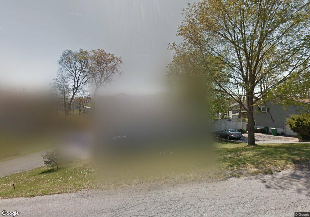
67 Sutton Park Rd Poughkeepsie, NY 12603
Estimated Value: $446,416 - $505,000
3
Beds
2
Baths
1,062
Sq Ft
$446/Sq Ft
Est. Value
About This Home
This home is located at 67 Sutton Park Rd, Poughkeepsie, NY 12603 and is currently estimated at $473,354, approximately $445 per square foot. 67 Sutton Park Rd is a home located in Dutchess County with nearby schools including Kinry Road Elementary School, Vassar Road Elementary School, and Wappingers Junior High School.
Ownership History
Date
Name
Owned For
Owner Type
Purchase Details
Closed on
Oct 16, 2017
Sold by
Muryn Karen
Bought by
Muryn-Bloomer Karen
Current Estimated Value
Purchase Details
Closed on
Jun 18, 1997
Sold by
Miller Patrick M and Miller Christine E
Bought by
Muryn Karen
Create a Home Valuation Report for This Property
The Home Valuation Report is an in-depth analysis detailing your home's value as well as a comparison with similar homes in the area
Home Values in the Area
Average Home Value in this Area
Purchase History
| Date | Buyer | Sale Price | Title Company |
|---|---|---|---|
| Muryn-Bloomer Karen | -- | -- | |
| Muryn Karen | $106,000 | -- |
Source: Public Records
Tax History
| Year | Tax Paid | Tax Assessment Tax Assessment Total Assessment is a certain percentage of the fair market value that is determined by local assessors to be the total taxable value of land and additions on the property. | Land | Improvement |
|---|---|---|---|---|
| 2024 | $9,059 | $331,200 | $66,900 | $264,300 |
| 2023 | $13,081 | $331,200 | $66,900 | $264,300 |
| 2019 | $7,944 | $269,000 | $60,800 | $208,200 |
Source: Public Records
Map
Nearby Homes
- 11 High Ct
- 32 Deer Run Rd
- 95 Sutton Park Rd
- 104 Sutton Park Rd
- 1 Benton Rd
- 34 Raker Rd
- 12 Nob Hill
- 31 Pleasant Ridge Dr
- 47 Timberline Dr
- 413 Vassar Rd
- 84 Hillis Terrace
- 34 Brookland Farms Rd
- 10 Lori St
- 86 Vassar Rd
- 1875 New Hackensack Rd
- 13 Jane St
- 7 Brookland Farms Rd
- 45 Old Farms Rd
- 67 Jackson Rd
- 0 MacGhee Rd Unit KEY964415
- 65 Sutton Park Rd
- 69 Sutton Park Rd
- 10 Rockcrest Place
- 63 Sutton Park Rd
- 60 Sutton Park Rd
- 8 Rockcrest Place
- 11 Rockcrest Place
- 62 Sutton Park Rd
- 2 High Ct
- 73 Sutton Park Rd
- 58 Sutton Park Rd
- 61 Sutton Park Rd
- 6 Rockcrest Place
- 4 High Ct
- 56 Sutton Park Rd
- 75 Sutton Park Rd
- 7 Rockcrest Place
- 1 High Ct
- 59 Sutton Park Rd
- 3 High Ct
Your Personal Tour Guide
Ask me questions while you tour the home.