67 Tower Rd Kittery Point, ME 03905
Kittery Point NeighborhoodEstimated Value: $1,739,000 - $2,118,000
About This Home
This home is located at 67 Tower Rd, Kittery Point, ME 03905 and is currently estimated at $1,992,937, approximately $676 per square foot. 67 Tower Rd is a home located in York County with nearby schools including Horace Mitchell Primary School, Shapleigh School, and Robert W Traip Academy.
Ownership History
We collect this data history from publicly available records. To have your information removed, we recommend requesting removal directly through your county’s website.
Purchase Details
Purchase Details
Home Values in the Area
Average Home Value in this Area
Purchase History
We collect this data history from publicly available records. To have your information removed, we recommend requesting removal directly through your county’s website.
| Date | Buyer | Sale Price | Title Company |
|---|---|---|---|
| $1,890,000 | None Available | ||
| -- | -- |
Tax History
We collect this data history from publicly available records. To have your information removed, we recommend requesting removal directly through your county’s website.
| Year | Tax Paid | Tax Assessment Tax Assessment Total Assessment is a certain percentage of the fair market value that is determined by local assessors to be the total taxable value of land and additions on the property. | Land | Improvement |
|---|---|---|---|---|
| 2025 | $19,364 | $2,084,400 | $1,661,300 | $423,100 |
| 2024 | $22,822 | $1,607,200 | $1,132,400 | $474,800 |
| 2023 | $21,874 | $1,607,200 | $1,132,400 | $474,800 |
| 2022 | $21,665 | $1,607,200 | $1,132,400 | $474,800 |
| 2021 | $20,894 | $1,607,200 | $1,132,400 | $474,800 |
| 2020 | $20,733 | $1,607,200 | $1,132,400 | $474,800 |
| 2019 | $19,371 | $1,113,300 | $731,900 | $381,400 |
| 2018 | $18,703 | $1,113,300 | $731,900 | $381,400 |
| 2017 | $18,369 | $1,113,300 | $731,900 | $381,400 |
| 2016 | $18,064 | $1,125,500 | $731,900 | $393,600 |
| 2015 | $19,517 | $1,245,500 | $853,900 | $391,600 |
| 2014 | $19,330 | $1,245,500 | $853,900 | $391,600 |
| 2013 | $18,957 | $1,245,500 | $853,900 | $391,600 |
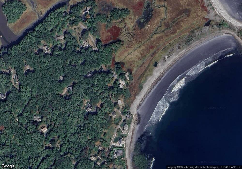
Map
- 20 Captains Way
- 5 Hoyts Island Ln
- 45 Charles Hill Rd
- Lot 14 Bartlett Rd
- 25 Bartlett Rd
- 7 Washburn Farm Ln Unit 9
- 3 Bartlett Rd
- 12 Washburn Farm Ln Unit 3
- 50 Ledgewood Dr
- 22 Brave Boat Harbor Rd
- 17 Pepperell Way
- 5 Izzy Ln
- 14 Hill Creek Dr
- 69 Cranfield St
- 50 Lewis Rd
- 29 Carrie Lynn Ln
- 97 Abigale Ln
- 2 Woodside Meadow Rd
- 2 Woodside Meadow Rd
- 131 Seabury Rd
Ask me questions while you tour the home.