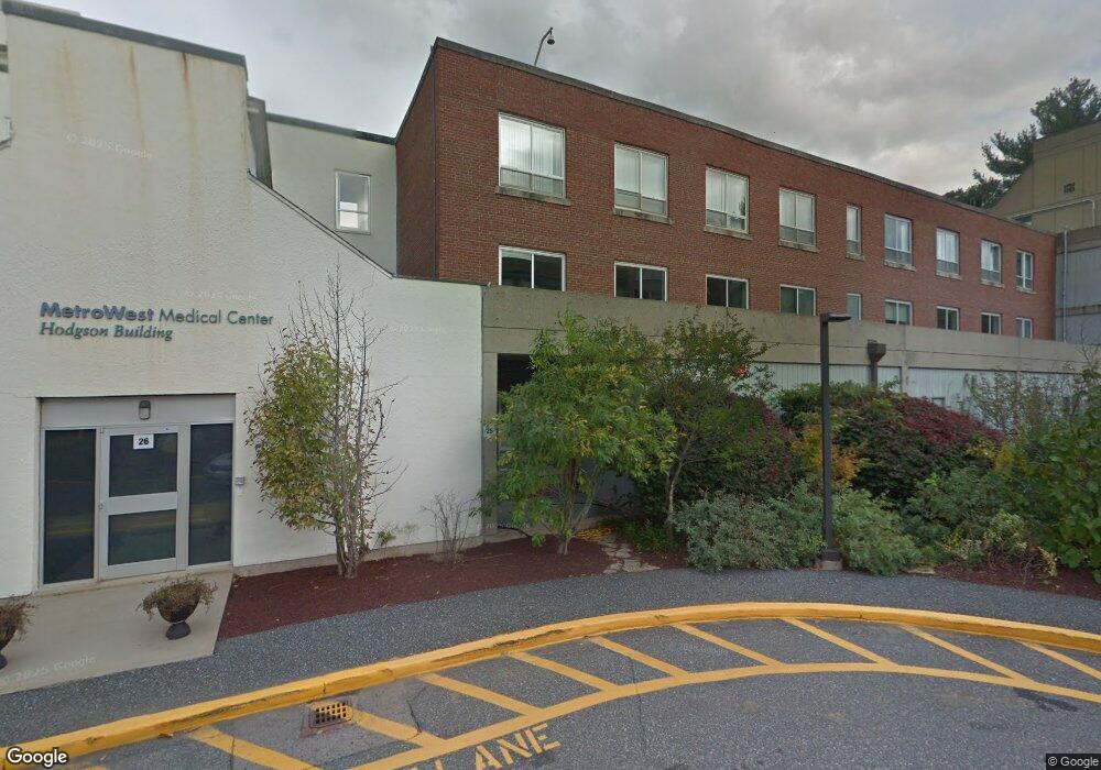
67 Union St Unit 401 Natick, MA 01760
Estimated Value: $158,638
--
Bed
--
Bath
1,300
Sq Ft
$122/Sq Ft
Est. Value
About This Home
This home is located at 67 Union St Unit 401, Natick, MA 01760 and is currently estimated at $158,638, approximately $122 per square foot. 67 Union St Unit 401 is a home located in Middlesex County with nearby schools including Natick High School, Lilja Elementary School, and Wilson Middle School.
Ownership History
Date
Name
Owned For
Owner Type
Purchase Details
Closed on
Apr 25, 2025
Sold by
Swh Rt and Hanna
Bought by
Viracocha Llc
Current Estimated Value
Purchase Details
Closed on
Nov 4, 2022
Sold by
Waguih-Hanna Sylvia
Bought by
Swh Rt and Waguih-Hanna
Purchase Details
Closed on
Apr 22, 2016
Sold by
Hrm Visions Llc
Bought by
Boston Center For Clin
Purchase Details
Closed on
Oct 5, 2012
Sold by
Griffel Paul
Bought by
Hrm Visions Llc
Home Financials for this Owner
Home Financials are based on the most recent Mortgage that was taken out on this home.
Original Mortgage
$104,000
Interest Rate
3.66%
Mortgage Type
Commercial
Create a Home Valuation Report for This Property
The Home Valuation Report is an in-depth analysis detailing your home's value as well as a comparison with similar homes in the area
Home Values in the Area
Average Home Value in this Area
Purchase History
| Date | Buyer | Sale Price | Title Company |
|---|---|---|---|
| Viracocha Llc | $160,000 | None Available | |
| Viracocha Llc | $160,000 | None Available | |
| Swh Rt | -- | None Available | |
| Swh Rt | -- | None Available | |
| Boston Center For Clin | $127,500 | -- | |
| Boston Center For Clin | $127,500 | -- | |
| Hrm Visions Llc | $130,000 | -- | |
| Hrm Visions Llc | $130,000 | -- | |
| Hrm Visions Llc | $130,000 | -- |
Source: Public Records
Mortgage History
| Date | Status | Borrower | Loan Amount |
|---|---|---|---|
| Previous Owner | Hrm Visions Llc | $104,000 |
Source: Public Records
Tax History Compared to Growth
Tax History
| Year | Tax Paid | Tax Assessment Tax Assessment Total Assessment is a certain percentage of the fair market value that is determined by local assessors to be the total taxable value of land and additions on the property. | Land | Improvement |
|---|---|---|---|---|
| 2025 | $1,344 | $112,400 | $0 | $112,400 |
| 2024 | $1,378 | $112,400 | $0 | $112,400 |
| 2023 | $1,624 | $128,500 | $0 | $128,500 |
| 2022 | $1,714 | $128,500 | $0 | $128,500 |
| 2021 | $1,964 | $144,300 | $0 | $144,300 |
| 2020 | $1,964 | $144,300 | $0 | $144,300 |
| 2019 | $2,168 | $170,600 | $0 | $170,600 |
| 2018 | $2,098 | $160,800 | $0 | $160,800 |
| 2017 | $2,169 | $160,800 | $0 | $160,800 |
| 2016 | $2,168 | $159,800 | $0 | $159,800 |
| 2015 | $2,063 | $149,300 | $0 | $149,300 |
Source: Public Records
Map
Nearby Homes
- 15 Penobscot Rd
- 10 Sundance Way
- 11 Avon St
- 67 E Central St & 5 Union St
- 20 Marion St
- 5 Wilson St Unit 5A
- 62 E Central St Unit 305
- 6B Lincoln St Unit 6B
- 4B Lincoln St Unit 4B
- 3 Wilson St Unit 3B
- 15 Church St Unit 3
- 94 Woodland St
- 3 Vale St Unit B
- 31 Marion St
- 48 S Main St Unit 7
- 39 Davis Brook Dr
- 8 Floral Ave Unit 8
- 16 Harvard St
- 25 Sawin St
- 18 University Dr
- 67 Union St Unit 303
- 67 Union St Unit 106
- 67 Union St
- 67 Union St Unit 101
- 67 Union St Unit 409
- 67 Union St Unit 107
- 67 Union St Unit 206
- 67 Union St Unit 203
- 60 Union St
- 58 Union St
- 56 Union St
- 71 Union St
- 71 Union St Unit 71
- 54 Union St
- 52 Union St
- 48 Union St
- 50 Union St
- 74 Union St
- 46 Union St
- 13 Nokomis Way