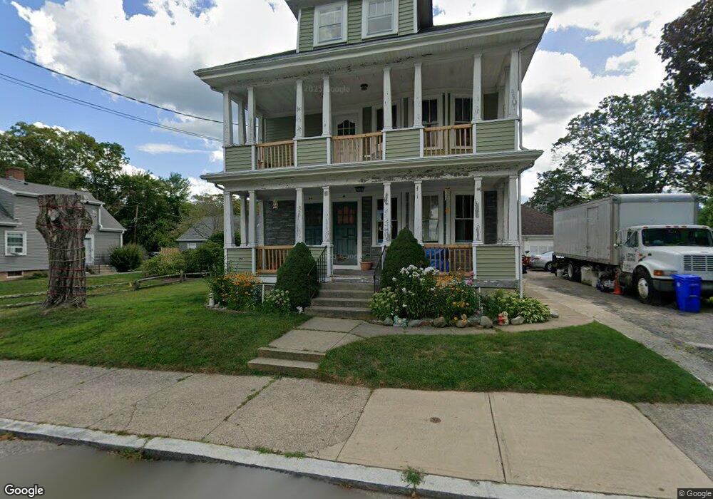
67 Verndale Ave Attleboro, MA 02703
Estimated Value: $591,353 - $705,000
5
Beds
2
Baths
2,690
Sq Ft
$245/Sq Ft
Est. Value
About This Home
This home is located at 67 Verndale Ave, Attleboro, MA 02703 and is currently estimated at $660,088, approximately $245 per square foot. 67 Verndale Ave is a home located in Bristol County with nearby schools including A. Irvin Studley Elementary School, Cyril K. Brennan Middle School, and Attleboro High School.
Ownership History
Date
Name
Owned For
Owner Type
Purchase Details
Closed on
Jul 5, 2005
Sold by
Swanson Charlotte E
Bought by
Lopez Jannette and Lopez Leslie J
Current Estimated Value
Home Financials for this Owner
Home Financials are based on the most recent Mortgage that was taken out on this home.
Original Mortgage
$344,000
Outstanding Balance
$180,384
Interest Rate
5.73%
Mortgage Type
Purchase Money Mortgage
Estimated Equity
$479,704
Create a Home Valuation Report for This Property
The Home Valuation Report is an in-depth analysis detailing your home's value as well as a comparison with similar homes in the area
Home Values in the Area
Average Home Value in this Area
Purchase History
| Date | Buyer | Sale Price | Title Company |
|---|---|---|---|
| Lopez Jannette | $430,000 | -- |
Source: Public Records
Mortgage History
| Date | Status | Borrower | Loan Amount |
|---|---|---|---|
| Open | Lopez Jannette | $344,000 |
Source: Public Records
Tax History
| Year | Tax Paid | Tax Assessment Tax Assessment Total Assessment is a certain percentage of the fair market value that is determined by local assessors to be the total taxable value of land and additions on the property. | Land | Improvement |
|---|---|---|---|---|
| 2025 | $6,408 | $510,600 | $134,400 | $376,200 |
| 2024 | $6,211 | $487,900 | $134,400 | $353,500 |
| 2023 | $5,590 | $408,300 | $122,200 | $286,100 |
| 2022 | $5,169 | $357,700 | $116,300 | $241,400 |
| 2021 | $5,011 | $338,600 | $111,800 | $226,800 |
| 2020 | $4,709 | $323,400 | $108,600 | $214,800 |
| 2019 | $4,463 | $315,200 | $106,600 | $208,600 |
| 2018 | $4,151 | $280,100 | $103,400 | $176,700 |
| 2017 | $4,109 | $282,400 | $103,400 | $179,000 |
| 2016 | $3,829 | $258,400 | $101,400 | $157,000 |
| 2015 | $3,638 | $247,300 | $101,400 | $145,900 |
| 2014 | $3,404 | $229,200 | $96,600 | $132,600 |
Source: Public Records
Map
Nearby Homes
- 17 Jewel Ave
- 17 Crawford Ave
- 101 South Ave Unit 301
- 101 South Ave Unit 1004
- 660 Thacher St Unit 402
- 19 Beech St
- 49 Dennis St
- 720 Thacher St
- 855 County St Unit 2
- 138 Fisher St Unit A
- 138 Fisher St Unit B
- 75 Dennis St Unit 3
- 147 County St
- 46 Berwick Rd
- 0 Joseph St Unit 73469304
- 0 Tulip Unit 73475130
- 21 4th St
- 160 West St
- 18-20 Jefferson St
- 64 Mechanic St Unit 3
- 72 Bushee St
- 72 Verndale Ave
- 80 Verndale Ave
- 64 Hawthorne St
- 59 Verndale Ave
- 60 Verndale Ave
- 60 Bushee St
- 58 Hawthorne St
- 65 Hawthorne St
- 69 Hawthorne St
- 48 Hawthorne St
- 48 Hawthorne St Unit 2
- 50 Bushee St
- 77 Pembroke Ave
- 49 Verndale Ave
- 50 Verndale Ave
- 55 Bushee St
- 54 Jewel Ave
- 10 Lyle St
- 51 Jewel Ave
Your Personal Tour Guide
Ask me questions while you tour the home.