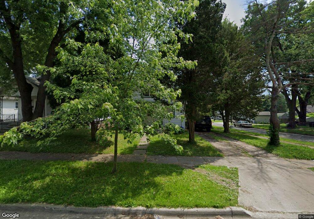
67 W Beverly Ave Pontiac, MI 48340
Estimated Value: $83,000 - $145,000
2
Beds
2
Baths
781
Sq Ft
$149/Sq Ft
Est. Value
About This Home
This home is located at 67 W Beverly Ave, Pontiac, MI 48340 and is currently estimated at $116,583, approximately $149 per square foot. 67 W Beverly Ave is a home located in Oakland County with nearby schools including Alcott School, Pontiac Middle School, and Pontiac High School.
Ownership History
Date
Name
Owned For
Owner Type
Purchase Details
Closed on
Mar 3, 2025
Sold by
Hernandez Nicholas
Bought by
Hernandez Martin and Dellopez Ma Del
Current Estimated Value
Purchase Details
Closed on
Jan 11, 2012
Sold by
Oakland County Treasurer
Bought by
Hernandez Maria
Purchase Details
Closed on
Dec 7, 2000
Sold by
White Martin T
Bought by
Hernandez Nicolas
Purchase Details
Closed on
Oct 12, 1999
Sold by
Johnson Lawrence
Bought by
United Companies Lending Corp
Purchase Details
Closed on
Jan 20, 1997
Sold by
Johnson Lawrence M
Bought by
Johnson Lawrence
Home Financials for this Owner
Home Financials are based on the most recent Mortgage that was taken out on this home.
Original Mortgage
$48,000
Interest Rate
7.81%
Create a Home Valuation Report for This Property
The Home Valuation Report is an in-depth analysis detailing your home's value as well as a comparison with similar homes in the area
Home Values in the Area
Average Home Value in this Area
Purchase History
| Date | Buyer | Sale Price | Title Company |
|---|---|---|---|
| Hernandez Martin | -- | None Listed On Document | |
| Hernandez Martin | -- | None Listed On Document | |
| Hernandez Maria | $1,221 | None Available | |
| Hernandez Nicolas | $40,000 | -- | |
| United Companies Lending Corp | $56,887 | -- | |
| Johnson Lawrence | -- | -- |
Source: Public Records
Mortgage History
| Date | Status | Borrower | Loan Amount |
|---|---|---|---|
| Previous Owner | Johnson Lawrence | $48,000 |
Source: Public Records
Tax History Compared to Growth
Tax History
| Year | Tax Paid | Tax Assessment Tax Assessment Total Assessment is a certain percentage of the fair market value that is determined by local assessors to be the total taxable value of land and additions on the property. | Land | Improvement |
|---|---|---|---|---|
| 2024 | $720 | $29,780 | $0 | $0 |
| 2023 | $686 | $26,360 | $0 | $0 |
| 2022 | $725 | $23,150 | $0 | $0 |
| 2021 | $705 | $19,610 | $0 | $0 |
| 2020 | $624 | $17,140 | $0 | $0 |
| 2019 | $675 | $14,810 | $0 | $0 |
| 2018 | $697 | $15,190 | $0 | $0 |
| 2017 | $670 | $14,250 | $0 | $0 |
| 2016 | $696 | $12,450 | $0 | $0 |
| 2015 | -- | $12,200 | $0 | $0 |
| 2014 | -- | $11,720 | $0 | $0 |
| 2011 | -- | $15,320 | $0 | $0 |
Source: Public Records
Map
Nearby Homes
- 33 W Beverly Ave
- 110 W Tennyson Ave
- 109 W Kennett Rd
- 119 W Kennett Rd
- 18 E 18 E Rutgers Ave
- 998 Dewey St
- 137 Dresden Ave
- 134 W Fairmount Ave
- 117 W Strathmore Ave
- 112 W Strathmore Ave
- 141 Parkdale Ave
- 236 W Cornell Ave
- 201 Parkdale Ave
- 207 W Strathmore Ave
- 255 W Rutgers Ave
- 0 S Merrimac St Unit 20250035082
- 240 W Fairmount Ave
- 216 W Longfellow Ave
- 240 W Longfellow Ave
- 1153 Stanley Ave