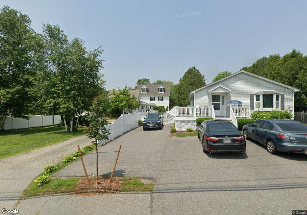
67 W Meadow Rd Lowell, MA 01854
Pawtucketville NeighborhoodEstimated Value: $766,000 - $868,000
6
Beds
3
Baths
4,097
Sq Ft
$199/Sq Ft
Est. Value
About This Home
This home is located at 67 W Meadow Rd, Lowell, MA 01854 and is currently estimated at $814,654, approximately $198 per square foot. 67 W Meadow Rd is a home located in Middlesex County with nearby schools including Joseph McAvinnue Elementary School, Charlotte M. Murkland Elementary School, and Charles W. Morey Elementary School.
Ownership History
Date
Name
Owned For
Owner Type
Purchase Details
Closed on
Sep 14, 2022
Sold by
Greenhalgh Jr Frank G Est and Libby
Bought by
Libby Thomas M
Current Estimated Value
Purchase Details
Closed on
May 21, 2019
Sold by
Libby Sarah E and Libby Thomas M
Bought by
Greenhalgh Frank G
Purchase Details
Closed on
Jun 24, 2016
Sold by
Greenhalgh Frank G
Bought by
Greenhalgh Frank G and Libby Thomas M
Purchase Details
Closed on
Mar 13, 2009
Sold by
Greenhalgh Frank G and Libby Sarah Eg
Bought by
Greenhalgh Frank G and Libby Sarah E
Purchase Details
Closed on
Sep 26, 2006
Sold by
Greenhalgh Frank G
Bought by
Greenhalgh Frank G and Libby Sarah E
Create a Home Valuation Report for This Property
The Home Valuation Report is an in-depth analysis detailing your home's value as well as a comparison with similar homes in the area
Home Values in the Area
Average Home Value in this Area
Purchase History
| Date | Buyer | Sale Price | Title Company |
|---|---|---|---|
| Libby Thomas M | -- | None Available | |
| Libby Thomas M | -- | None Available | |
| Greenhalgh Frank G | -- | -- | |
| Greenhalgh Frank G | -- | -- | |
| Greenhalgh Frank G | -- | -- | |
| Greenhalgh Frank G | -- | -- | |
| Greenhalgh Frank G | -- | -- | |
| Greenhalgh Frank G | -- | -- | |
| Greenhalgh Frank G | -- | -- | |
| Greenhalgh Frank G | -- | -- |
Source: Public Records
Tax History Compared to Growth
Tax History
| Year | Tax Paid | Tax Assessment Tax Assessment Total Assessment is a certain percentage of the fair market value that is determined by local assessors to be the total taxable value of land and additions on the property. | Land | Improvement |
|---|---|---|---|---|
| 2025 | $8,666 | $754,900 | $194,100 | $560,800 |
| 2024 | $8,852 | $743,200 | $181,400 | $561,800 |
| 2023 | $8,406 | $676,800 | $157,800 | $519,000 |
| 2022 | $7,630 | $641,800 | $143,600 | $498,200 |
| 2021 | $7,630 | $566,900 | $125,000 | $441,900 |
| 2020 | $7,356 | $550,600 | $127,500 | $423,100 |
| 2019 | $7,562 | $538,600 | $112,300 | $426,300 |
| 2018 | $7,315 | $523,200 | $107,000 | $416,200 |
| 2017 | $7,081 | $474,600 | $97,300 | $377,300 |
| 2016 | $6,549 | $432,000 | $90,800 | $341,200 |
| 2015 | $6,161 | $398,000 | $88,900 | $309,100 |
| 2013 | $5,717 | $380,900 | $111,800 | $269,100 |
Source: Public Records
Map
Nearby Homes
- 33 W Meadow Rd
- 49 Tolman Ave
- 1410 Skyline Dr Unit 9
- 1710 Skyline Dr Unit 10
- 1600 Skyline Dr Unit 2
- 2200 Skyline Dr Unit 5
- 1820 Skyline Dr Unit 18
- 61 7th Ave W
- 25 W 5th Ave
- 25 Shea St Unit 8
- 107 7th Ave
- 149 Woodward Ave
- 30 4th Ave
- 382 University Ave
- 81 5th Ave
- 380 University Ave
- 35 Honora Ave
- 113 5th Ave
- 89 Mammoth Rd
- 10 3rd Ave
- 75 W Meadow Rd
- 12 Monarch St
- 63 W Meadow Rd
- 20 Monarch St
- 51 W Meadow Rd
- 51 W Meadow Rd Unit 1, 1
- 89 W Meadow Rd
- 24 Monarch St
- 45 W Meadow Rd
- 11 Monarch St
- LOT 3 Carriage Crossing
- B-10 Park Ave W Unit 10 B
- 21 Monarch St
- 17 Monarch St
- 60 W Meadow Rd
- 74 W Meadow Rd
- 37 W Meadow Rd
- 113 W Meadow Rd
- 113 W Meadow Rd Unit B
- 46 W Meadow Rd