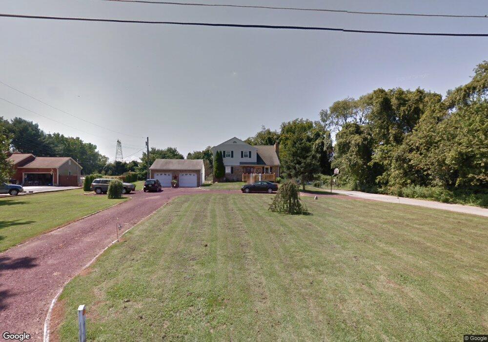
67 W Supawna Rd Pennsville, NJ 08070
Estimated Value: $380,000 - $419,000
--
Bed
--
Bath
2,306
Sq Ft
$175/Sq Ft
Est. Value
About This Home
This home is located at 67 W Supawna Rd, Pennsville, NJ 08070 and is currently estimated at $403,712, approximately $175 per square foot. 67 W Supawna Rd is a home located in Salem County with nearby schools including Valley Park Elementary School, Penn Beach Elementary School, and Central Park Elementary School.
Ownership History
Date
Name
Owned For
Owner Type
Purchase Details
Closed on
Dec 26, 2008
Sold by
Fleming James F and Fleming Theresa Ann
Bought by
Clark Thomas C and Clark Tammy A
Current Estimated Value
Home Financials for this Owner
Home Financials are based on the most recent Mortgage that was taken out on this home.
Original Mortgage
$188,000
Outstanding Balance
$120,910
Interest Rate
5.51%
Mortgage Type
Purchase Money Mortgage
Estimated Equity
$282,802
Create a Home Valuation Report for This Property
The Home Valuation Report is an in-depth analysis detailing your home's value as well as a comparison with similar homes in the area
Home Values in the Area
Average Home Value in this Area
Purchase History
| Date | Buyer | Sale Price | Title Company |
|---|---|---|---|
| Clark Thomas C | $235,000 | -- |
Source: Public Records
Mortgage History
| Date | Status | Borrower | Loan Amount |
|---|---|---|---|
| Open | Clark Thomas C | $188,000 |
Source: Public Records
Tax History Compared to Growth
Tax History
| Year | Tax Paid | Tax Assessment Tax Assessment Total Assessment is a certain percentage of the fair market value that is determined by local assessors to be the total taxable value of land and additions on the property. | Land | Improvement |
|---|---|---|---|---|
| 2025 | $12,210 | $239,500 | $40,900 | $198,600 |
| 2024 | $11,755 | $239,500 | $40,900 | $198,600 |
| 2023 | $11,755 | $239,500 | $40,900 | $198,600 |
| 2022 | $11,386 | $239,500 | $40,900 | $198,600 |
| 2021 | $11,072 | $239,500 | $40,900 | $198,600 |
| 2020 | $10,737 | $239,500 | $40,900 | $198,600 |
| 2019 | $10,205 | $239,500 | $40,900 | $198,600 |
| 2018 | $9,839 | $239,500 | $40,900 | $198,600 |
| 2017 | $9,491 | $239,500 | $40,900 | $198,600 |
| 2016 | $8,735 | $239,500 | $40,900 | $198,600 |
| 2015 | $8,335 | $239,500 | $40,900 | $198,600 |
| 2014 | $8,112 | $239,500 | $40,900 | $198,600 |
Source: Public Records
Map
Nearby Homes
- 1019 S Broadway
- 1084 S Broadway
- 7 Meghans Way
- 44 Supawna Rd
- 37 Lenape Dr
- 44 Lenape Dr
- 1 Old Toll Bridge Rd
- 6 Friendship Dr
- 645 Greenwood Ave
- 667 S Broadway
- 92 Sinnickson Landing Rd
- 9 S Tilbury Rd
- 17 S Tilbury Rd
- 89 W Broadway
- 87-89 W Broadway
- 91 W Broadway
- 231 S Hook Rd
- 197 Pine Ave
- 39 Oak St
- 57 Route 45 Unit 57A
- 69 W Supawna Rd
- 57 W Supawna Rd
- 45 W Supawna Rd
- 87 W Supawna Rd
- 91 W Supawna Rd
- 93 W Supawna Rd
- 28 W Supawna Rd
- 1007 S Broadway
- 1013 S Broadway
- 1015 S Broadway
- 1017 S Broadway
- 1023 S Broadway
- 1027 S Broadway
- 23 W Supawna Rd
- 24 Freas Rd
- 1033 S Broadway
- 1029 S Broadway
- 1041 S Broadway
- 1022 S Broadway
- 1047 S Broadway