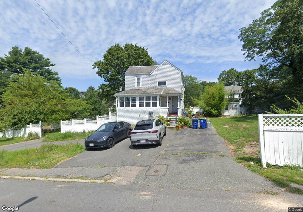
67 Walnut Ave Braintree, MA 02184
Weymouth Landing NeighborhoodEstimated Value: $670,144 - $693,000
3
Beds
2
Baths
1,248
Sq Ft
$548/Sq Ft
Est. Value
About This Home
This home is located at 67 Walnut Ave, Braintree, MA 02184 and is currently estimated at $683,715, approximately $547 per square foot. 67 Walnut Ave is a home located in Norfolk County with nearby schools including Braintree High School, South Shore Christian Academy, and Sacred Heart Elementary School.
Create a Home Valuation Report for This Property
The Home Valuation Report is an in-depth analysis detailing your home's value as well as a comparison with similar homes in the area
Home Values in the Area
Average Home Value in this Area
Tax History
| Year | Tax Paid | Tax Assessment Tax Assessment Total Assessment is a certain percentage of the fair market value that is determined by local assessors to be the total taxable value of land and additions on the property. | Land | Improvement |
|---|---|---|---|---|
| 2025 | $6,289 | $630,200 | $382,900 | $247,300 |
| 2024 | $5,682 | $599,400 | $357,000 | $242,400 |
| 2023 | $5,369 | $550,100 | $320,800 | $229,300 |
| 2022 | $5,164 | $519,000 | $289,700 | $229,300 |
| 2021 | $4,756 | $478,000 | $261,800 | $216,200 |
| 2020 | $4,388 | $445,000 | $238,000 | $207,000 |
| 2019 | $4,242 | $420,400 | $227,700 | $192,700 |
| 2018 | $4,131 | $391,900 | $207,000 | $184,900 |
| 2017 | $3,985 | $371,000 | $196,600 | $174,400 |
| 2016 | $3,655 | $332,900 | $165,600 | $167,300 |
| 2015 | $3,597 | $324,900 | $163,500 | $161,400 |
| 2014 | $3,410 | $298,600 | $149,000 | $149,600 |
Source: Public Records
Map
Nearby Homes
- 15 Summer St
- 37 Lantern Ln
- 41 Lantern Ln
- 122 Washington St Unit Twenty-two
- 11 Richmond St
- 25 Richmond St
- 33 Congress St
- 19 Vine St Unit 3
- 19 Vine St Unit 2
- 82 Lester Ln
- 300 Commercial St Unit 23
- 46 Roosevelt Rd
- 54 Edgemont Rd
- 31 Doris Rd
- 16 Beechwood Rd
- 26 Tingley Rd
- 312 Shaw St
- 211 Roosevelt Rd
- 36 Chestnut Ave
- 255 River St
- 61 Walnut Ave
- 62 Sterling St
- 72 Walnut Ave
- 72 Sterling St
- 78 Walnut Ave
- 57 Walnut Ave
- 62 Walnut Ave
- 86 Sterling St
- 80 Sterling St
- 84 Walnut Ave
- 52 Sterling St
- 89 Walnut Ave
- 11 Stonewood Ln
- 75 Sterling St Unit C
- 75 Sterling St
- 75 Sterling St Unit A & C
- 75 Sterling St Unit B
- 75 Sterling St Unit A
- 56 Walnut Ave
- 63 Sterling St
Your Personal Tour Guide
Ask me questions while you tour the home.