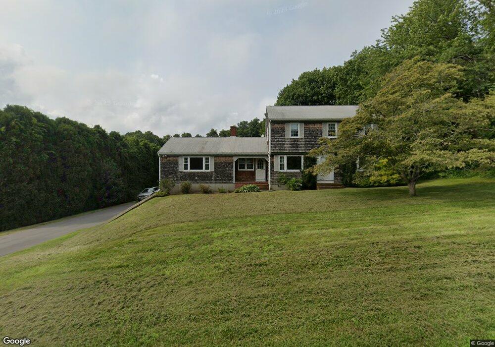
67 Wampanog Ln Tiverton, RI 02878
South Tiverton NeighborhoodEstimated Value: $506,000 - $976,000
3
Beds
2
Baths
2,234
Sq Ft
$321/Sq Ft
Est. Value
About This Home
This home is located at 67 Wampanog Ln, Tiverton, RI 02878 and is currently estimated at $716,479, approximately $320 per square foot. 67 Wampanog Ln is a home located in Newport County with nearby schools including Tiverton High School.
Ownership History
Date
Name
Owned For
Owner Type
Purchase Details
Closed on
Sep 20, 2024
Sold by
Cote Patricia A
Bought by
Kinnane Andrew P and Goncalo Jessica L
Current Estimated Value
Home Financials for this Owner
Home Financials are based on the most recent Mortgage that was taken out on this home.
Original Mortgage
$418,800
Outstanding Balance
$414,092
Interest Rate
6.47%
Mortgage Type
Purchase Money Mortgage
Estimated Equity
$302,387
Purchase Details
Closed on
Dec 7, 1972
Bought by
Cote Alexander J and Cote Patricia A
Create a Home Valuation Report for This Property
The Home Valuation Report is an in-depth analysis detailing your home's value as well as a comparison with similar homes in the area
Home Values in the Area
Average Home Value in this Area
Purchase History
| Date | Buyer | Sale Price | Title Company |
|---|---|---|---|
| Kinnane Andrew P | $523,500 | None Available | |
| Kinnane Andrew P | $523,500 | None Available | |
| Cote Alexander J | -- | -- |
Source: Public Records
Mortgage History
| Date | Status | Borrower | Loan Amount |
|---|---|---|---|
| Open | Kinnane Andrew P | $418,800 | |
| Closed | Kinnane Andrew P | $418,800 | |
| Previous Owner | Cote Alexander J | $56,000 |
Source: Public Records
Tax History Compared to Growth
Tax History
| Year | Tax Paid | Tax Assessment Tax Assessment Total Assessment is a certain percentage of the fair market value that is determined by local assessors to be the total taxable value of land and additions on the property. | Land | Improvement |
|---|---|---|---|---|
| 2025 | $5,567 | $503,800 | $190,000 | $313,800 |
| 2024 | $5,567 | $503,800 | $190,000 | $313,800 |
| 2023 | $5,281 | $354,400 | $159,600 | $194,800 |
| 2022 | $5,185 | $354,400 | $159,600 | $194,800 |
| 2021 | $5,057 | $354,400 | $159,600 | $194,800 |
| 2020 | $5,471 | $337,900 | $150,800 | $187,100 |
| 2019 | $5,335 | $337,900 | $150,800 | $187,100 |
| 2018 | $5,538 | $337,900 | $150,800 | $187,100 |
| 2017 | $5,646 | $296,400 | $129,600 | $166,800 |
| 2016 | $5,673 | $296,400 | $129,600 | $166,800 |
| 2015 | $5,673 | $296,400 | $129,600 | $166,800 |
| 2014 | $5,848 | $303,000 | $129,600 | $173,400 |
Source: Public Records
Map
Nearby Homes
- 7 Gadsby Ln
- 82 Nonquit Ln
- 3333 Main Rd
- 3622 Main Rd
- 0 Seapowet Ave
- 451 Seapowet Ave
- 3118 Main Rd
- 32 Arrowhead Dr
- 46 Arrowhead Dr
- 24 Peaceful Way
- 0 Main Rd
- 68 Riverscape Ln
- 0 Riverscape Ln Unit 73452278
- 0 Riverscape Ln Unit 1399502
- 58 Leonard Dr
- 0 S Lake Rd Unit 73361665
- 0 S Lake Rd Unit 1382842
- 0 S Lake Rd Unit 1400795
- 60 Edmond Ln
- 13 Karen St