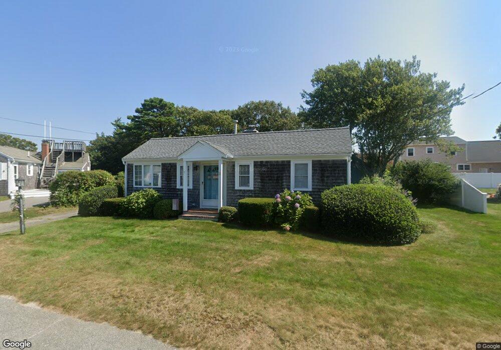
67 Wianno Rd Buzzards Bay, MA 02532
Estimated Value: $685,000 - $894,000
2
Beds
2
Baths
1,201
Sq Ft
$659/Sq Ft
Est. Value
About This Home
This home is located at 67 Wianno Rd, Buzzards Bay, MA 02532 and is currently estimated at $791,289, approximately $658 per square foot. 67 Wianno Rd is a home located in Barnstable County with nearby schools including Bourne High School.
Ownership History
Date
Name
Owned For
Owner Type
Purchase Details
Closed on
Feb 27, 2008
Sold by
Ryan Kevin W and Ryan Mary Ellen
Bought by
67 Wianno Road Rt and Ryan
Current Estimated Value
Purchase Details
Closed on
May 7, 1998
Sold by
Cheeseman Paul G and Cheeseman Hilary J
Bought by
Ryan Kevin W and Ryan Maryellen
Purchase Details
Closed on
Jul 3, 1997
Sold by
Adams Peter N and Adams Josette
Bought by
Cheeseman Paul G and Cheeseman Hilary J
Home Financials for this Owner
Home Financials are based on the most recent Mortgage that was taken out on this home.
Original Mortgage
$116,000
Interest Rate
7.86%
Mortgage Type
Purchase Money Mortgage
Create a Home Valuation Report for This Property
The Home Valuation Report is an in-depth analysis detailing your home's value as well as a comparison with similar homes in the area
Home Values in the Area
Average Home Value in this Area
Purchase History
| Date | Buyer | Sale Price | Title Company |
|---|---|---|---|
| 67 Wianno Road Rt | $10,000 | -- | |
| 67 Wianno Road Rt | $10,000 | -- | |
| Ryan Kevin W | $140,000 | -- | |
| Ryan Kevin W | $140,000 | -- | |
| Cheeseman Paul G | $145,000 | -- | |
| Cheeseman Paul G | $145,000 | -- |
Source: Public Records
Mortgage History
| Date | Status | Borrower | Loan Amount |
|---|---|---|---|
| Previous Owner | Cheeseman Paul G | $116,000 | |
| Previous Owner | Cheeseman Paul G | $102,000 |
Source: Public Records
Tax History Compared to Growth
Tax History
| Year | Tax Paid | Tax Assessment Tax Assessment Total Assessment is a certain percentage of the fair market value that is determined by local assessors to be the total taxable value of land and additions on the property. | Land | Improvement |
|---|---|---|---|---|
| 2025 | $5,401 | $691,600 | $522,900 | $168,700 |
| 2024 | $5,283 | $658,700 | $498,000 | $160,700 |
| 2023 | $5,137 | $583,100 | $440,700 | $142,400 |
| 2022 | $4,422 | $438,300 | $325,000 | $113,300 |
| 2021 | $3,062 | $399,200 | $295,800 | $103,400 |
| 2020 | $3,094 | $391,000 | $293,000 | $98,000 |
| 2019 | $2,881 | $385,600 | $293,000 | $92,600 |
| 2018 | $3,826 | $363,000 | $279,100 | $83,900 |
| 2017 | $4,045 | $392,700 | $309,600 | $83,100 |
| 2016 | $3,848 | $378,700 | $309,600 | $69,100 |
| 2015 | $4,314 | $428,400 | $359,300 | $69,100 |
Source: Public Records
Map
Nearby Homes