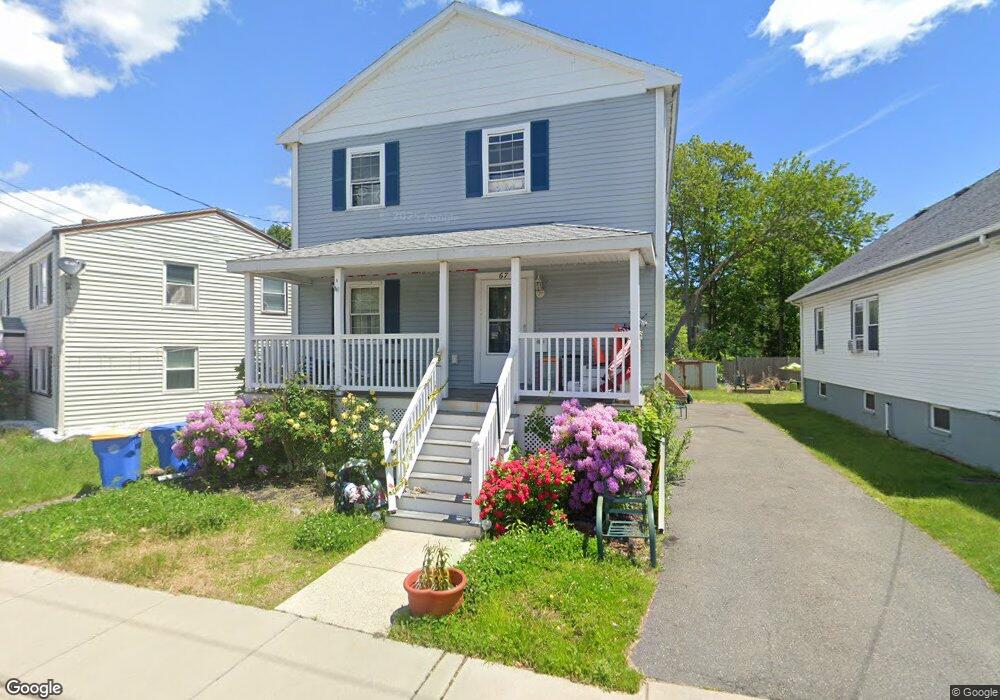
67 Wilshire St Winthrop, MA 02152
Downtown Winthrop NeighborhoodEstimated Value: $794,000 - $899,000
4
Beds
2
Baths
2,340
Sq Ft
$371/Sq Ft
Est. Value
About This Home
This home is located at 67 Wilshire St, Winthrop, MA 02152 and is currently estimated at $867,001, approximately $370 per square foot. 67 Wilshire St is a home located in Suffolk County with nearby schools including William P. Gorman/Fort Banks Elementary School, Arthur T. Cummings Elementary School, and Winthrop Middle School.
Ownership History
Date
Name
Owned For
Owner Type
Purchase Details
Closed on
Nov 17, 2020
Sold by
Cavaleri Kristine and Amaru Jeanette
Bought by
Amaru Jeanette and Amaru Lauren
Current Estimated Value
Home Financials for this Owner
Home Financials are based on the most recent Mortgage that was taken out on this home.
Original Mortgage
$299,500
Outstanding Balance
$265,293
Interest Rate
2.8%
Mortgage Type
New Conventional
Estimated Equity
$601,708
Purchase Details
Closed on
Jul 20, 2011
Sold by
Amaru Jeanette
Bought by
Cavaleri Kristine and Amaru Jeanette
Purchase Details
Closed on
Jun 16, 2011
Sold by
Lawrence Roseanne
Bought by
Amaru Jeanette
Create a Home Valuation Report for This Property
The Home Valuation Report is an in-depth analysis detailing your home's value as well as a comparison with similar homes in the area
Home Values in the Area
Average Home Value in this Area
Purchase History
| Date | Buyer | Sale Price | Title Company |
|---|---|---|---|
| Amaru Jeanette | -- | None Available | |
| Cavaleri Kristine | -- | -- | |
| Cavaleri Kristine | -- | -- | |
| Amaru Jeanette | -- | -- | |
| Amaru Jeanette | -- | -- |
Source: Public Records
Mortgage History
| Date | Status | Borrower | Loan Amount |
|---|---|---|---|
| Open | Amaru Jeanette | $299,500 | |
| Previous Owner | Amaru Jeanette | $15,000 | |
| Previous Owner | Amaru Jeanette | $27,000 | |
| Previous Owner | Amaru Jeanette | $25,000 |
Source: Public Records
Tax History Compared to Growth
Tax History
| Year | Tax Paid | Tax Assessment Tax Assessment Total Assessment is a certain percentage of the fair market value that is determined by local assessors to be the total taxable value of land and additions on the property. | Land | Improvement |
|---|---|---|---|---|
| 2025 | $7,879 | $763,500 | $326,900 | $436,600 |
| 2024 | $7,420 | $712,100 | $314,200 | $397,900 |
| 2023 | $7,721 | $721,600 | $287,600 | $434,000 |
| 2022 | $7,652 | $650,700 | $256,900 | $393,800 |
| 2021 | $7,488 | $590,500 | $229,300 | $361,200 |
| 2020 | $7,293 | $577,900 | $229,300 | $348,600 |
| 2019 | $7,183 | $545,000 | $211,400 | $333,600 |
| 2018 | $7,107 | $501,900 | $181,400 | $320,500 |
| 2017 | $6,584 | $456,900 | $160,800 | $296,100 |
| 2016 | $6,257 | $407,100 | $139,800 | $267,300 |
| 2015 | $5,555 | $387,400 | $135,800 | $251,600 |
| 2014 | $5,394 | $346,200 | $126,300 | $219,900 |
Source: Public Records
Map
Nearby Homes
- 50-52 Wilshire St
- 441 Winthrop St
- 800 Governors Dr Unit 6
- 1100 Governors Dr Unit 6
- 800 Governors Dr Unit 30
- 1000 Governors Dr Unit 25
- 426 Winthrop St
- 9 Atlantic St Unit 2
- 19 Pleasant Park Rd
- 87 Hermon St
- 14 Pleasant Park Rd
- 9 Marshall St
- 41 Summit Ave
- 80 Shirley St
- 56 Main St
- 2 Deane Ave
- 550 Pleasant St Unit 11D
- 550 Pleasant St Unit 506
- 144 Quincy Ave
- 130 Shirley St Unit 204
- 71 Wilshire St
- 71 Wilshire St Unit 2
- 65 Wilshire St
- 61 Wilshire St
- 480 Winthrop St
- 480 Winthrop St Unit 2
- 64 Wilshire St Unit 66
- 64 Wilshire St Unit 1
- 66 Wilshire St Unit 1
- 66 Wilshire St Unit 2
- 66 Wilshire St
- 101 Banks St
- 55 Wilshire St
- 81 Banks St
- 482 Winthrop St
- 482 Winthrop St Unit 2
- 482 Winthrop St Unit 1
- 492 Winthrop St
- 105 Banks St
- 105 Banks St Unit 1