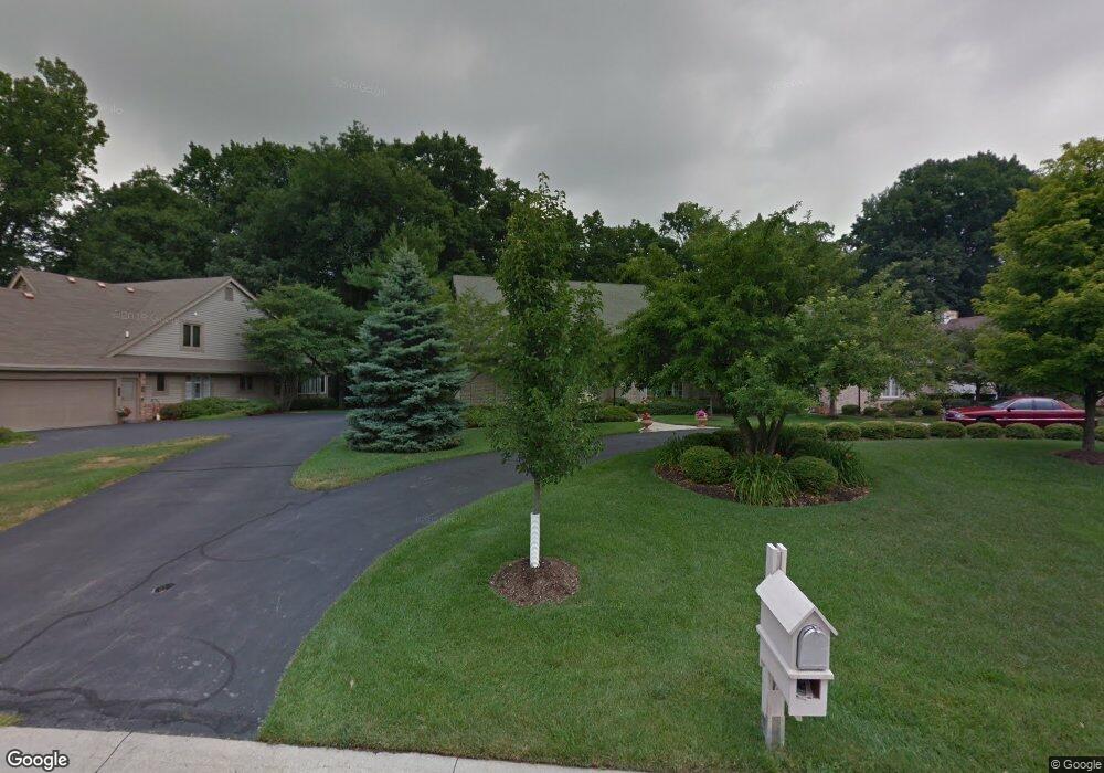
67 Wolf Ridge Dr Holland, OH 43528
Estimated Value: $333,000 - $348,000
2
Beds
3
Baths
2,370
Sq Ft
$143/Sq Ft
Est. Value
About This Home
This home is located at 67 Wolf Ridge Dr, Holland, OH 43528 and is currently estimated at $338,423, approximately $142 per square foot. 67 Wolf Ridge Dr is a home located in Lucas County with nearby schools including Holloway Elementary School, Springfield Middle School, and Springfield High School.
Ownership History
Date
Name
Owned For
Owner Type
Purchase Details
Closed on
Sep 15, 2003
Sold by
Pershing Janet Lee
Bought by
Pershing John and Pershing Janet
Current Estimated Value
Home Financials for this Owner
Home Financials are based on the most recent Mortgage that was taken out on this home.
Original Mortgage
$204,000
Interest Rate
6.23%
Mortgage Type
Balloon
Purchase Details
Closed on
Jun 21, 1989
Sold by
Merce Helen C
Purchase Details
Closed on
Aug 11, 1988
Create a Home Valuation Report for This Property
The Home Valuation Report is an in-depth analysis detailing your home's value as well as a comparison with similar homes in the area
Home Values in the Area
Average Home Value in this Area
Purchase History
| Date | Buyer | Sale Price | Title Company |
|---|---|---|---|
| Pershing John | -- | Hummel Title Agency | |
| -- | $32,800 | -- | |
| -- | $28,300 | -- |
Source: Public Records
Mortgage History
| Date | Status | Borrower | Loan Amount |
|---|---|---|---|
| Closed | Pershing John | $204,000 |
Source: Public Records
Tax History Compared to Growth
Tax History
| Year | Tax Paid | Tax Assessment Tax Assessment Total Assessment is a certain percentage of the fair market value that is determined by local assessors to be the total taxable value of land and additions on the property. | Land | Improvement |
|---|---|---|---|---|
| 2024 | $2,391 | $88,865 | $10,605 | $78,260 |
| 2023 | $4,628 | $76,125 | $7,875 | $68,250 |
| 2022 | $4,655 | $76,125 | $7,875 | $68,250 |
| 2021 | $4,375 | $76,125 | $7,875 | $68,250 |
| 2020 | $4,144 | $66,605 | $6,685 | $59,920 |
| 2019 | $4,047 | $66,605 | $6,685 | $59,920 |
| 2018 | $3,917 | $66,605 | $6,685 | $59,920 |
| 2017 | $3,820 | $59,675 | $7,490 | $52,185 |
| 2016 | $3,855 | $170,500 | $21,400 | $149,100 |
| 2015 | $3,848 | $170,500 | $21,400 | $149,100 |
| 2014 | $3,414 | $57,400 | $7,210 | $50,190 |
| 2013 | $3,414 | $57,400 | $7,210 | $50,190 |
Source: Public Records
Map
Nearby Homes
- 2001 Perrysburg Holland Rd
- 1705 Henthorne Dr
- 6666 Inglewood Rd
- 2014 Inglewood Rd
- 8939 Airport Hwy
- 6363 Millbrook Rd
- 5844 Swan Creek Dr
- 6856 Morningdew Blvd
- 2258 Tanglewood Dr
- 5721 Bernath Ct Unit GL
- 1421 Maumee St
- 6705 Garden Rd Unit 6705
- 1562 Saddlebrook Ct Unit B
- 6652 Sue Ln
- 2437 Knights Hill Ln
- 5713 Tibaron Ln
- 6833 Greentree Ln
- 5662 Bernath Ct Unit E
- 5615 Baronswood Cir
- 6917 Greentree Ln
- 69 Wolf Ridge Dr
- 65 Wolf Ridge Dr
- 63 Wolf Ridge Dr
- 71 Wolf Ridge Dr
- 63 Wolfridge Dr
- 14 Walnut Creek Dr
- 74 Wolfridge Dr
- 74 Wolf Ridge Dr
- 72 Wolf Ridge Dr
- 16 Walnut Creek Dr
- 70 Wolfridge Dr
- 70 Wolf Ridge Dr
- 62 Wolf Ridge Dr
- 68 Wolf Ridge Dr
- 66 Wolf Ridge Dr
- 66 Wolfridge Dr
- 13 Walnut Creek Dr
- 18 Walnut Creek Dr
- 64 Wolfridge Dr
- 64 Wolf Ridge Dr