67 Youngs Point Rd Wiscasset, ME 04578
Estimated Value: $720,477 - $1,086,000
3
Beds
3
Baths
2,766
Sq Ft
$342/Sq Ft
Est. Value
About This Home
This home is located at 67 Youngs Point Rd, Wiscasset, ME 04578 and is currently estimated at $945,369, approximately $341 per square foot. 67 Youngs Point Rd is a home located in Lincoln County with nearby schools including Wiscasset Christian Academy.
Ownership History
Date
Name
Owned For
Owner Type
Purchase Details
Closed on
Apr 2, 2008
Sold by
Huebner Thomas A and Huebner Gladys M
Bought by
Polewarczyk Edward J and Polewarczyk Arlene L
Current Estimated Value
Home Financials for this Owner
Home Financials are based on the most recent Mortgage that was taken out on this home.
Original Mortgage
$240,000
Outstanding Balance
$152,742
Interest Rate
6.06%
Mortgage Type
Purchase Money Mortgage
Estimated Equity
$792,627
Create a Home Valuation Report for This Property
The Home Valuation Report is an in-depth analysis detailing your home's value as well as a comparison with similar homes in the area
Home Values in the Area
Average Home Value in this Area
Purchase History
| Date | Buyer | Sale Price | Title Company |
|---|---|---|---|
| Polewarczyk Edward J | -- | -- |
Source: Public Records
Mortgage History
| Date | Status | Borrower | Loan Amount |
|---|---|---|---|
| Open | Polewarczyk Edward J | $240,000 |
Source: Public Records
Tax History Compared to Growth
Tax History
| Year | Tax Paid | Tax Assessment Tax Assessment Total Assessment is a certain percentage of the fair market value that is determined by local assessors to be the total taxable value of land and additions on the property. | Land | Improvement |
|---|---|---|---|---|
| 2024 | $9,102 | $512,200 | $135,400 | $376,800 |
| 2023 | $8,733 | $512,200 | $135,400 | $376,800 |
| 2022 | $8,229 | $409,800 | $108,300 | $301,500 |
| 2021 | $8,245 | $409,800 | $108,300 | $301,500 |
| 2020 | $7,714 | $383,400 | $108,300 | $275,100 |
| 2019 | $6,579 | $330,600 | $108,300 | $222,300 |
| 2018 | $6,463 | $330,600 | $108,300 | $222,300 |
| 2017 | $6,202 | $330,600 | $108,300 | $222,300 |
| 2016 | $6,186 | $330,600 | $108,300 | $222,300 |
| 2015 | $5,422 | $330,600 | $108,300 | $222,300 |
| 2014 | $5,620 | $330,600 | $108,300 | $222,300 |
| 2013 | $5,356 | $330,600 | $108,300 | $222,300 |
Source: Public Records
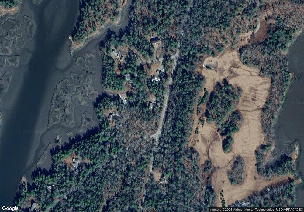
Map
Nearby Homes
- 2 Ready Point Rd
- 71 Borski's Way
- 27 Doggett Rd
- 15 Lewis Dr
- 30 Taylor Rd
- 14 Walker Rd
- Lot 1 Sanders Rd
- 4 Fawn Meadow Dr
- Lot 4 Fawn Meadow Dr
- Lot 9 Fawn Meadow Dr
- 13 Porcupine Ln
- Lot 7 Moose Way
- Lot 5 Fawn Meadow Dr
- 0 Maine 144
- 19 Riverside Ave
- 405 Meadow Rd
- Lot 97B Meadow Rd
- 18 High Head Rd
- 91 Lord Rd
- 50 Bunchberry Ln
- 0 Youngs Point & Hemlock Rd
- 4 Howard Ln
- 14 Howard Ln
- 0 Young's Point & Hemlock
- 9 Hemlock Rd
- 9 Howard Ln
- 0 Howards Ln
- 0 Howard Ln
- 11 Howard Ln
- 21 Hemlock Rd
- 5 Howard Ln
- 98 Youngs Point Rd
- 31 Hemlock Rd
- 120 Youngs Point Rd
- 45 Hemlock Rd
- 51 Hemlock Rd
- 6 Eaton Cove Rd
- 130 Youngs Point Rd
- 00 Youngs' Point Rd
- 0 Young's Point Road Lot C