670 Arrendale Rd Dahlonega, GA 30533
Estimated Value: $501,000 - $796,000
--
Bed
3
Baths
2,028
Sq Ft
$302/Sq Ft
Est. Value
About This Home
This home is located at 670 Arrendale Rd, Dahlonega, GA 30533 and is currently estimated at $613,351, approximately $302 per square foot. 670 Arrendale Rd is a home located in Lumpkin County with nearby schools including Clay County Middle School and Lumpkin County High School.
Ownership History
Date
Name
Owned For
Owner Type
Purchase Details
Closed on
Jan 25, 2019
Sold by
Arrendale Seldon Franklin
Bought by
Arrendale White Haley and Moore White Zachary
Current Estimated Value
Home Financials for this Owner
Home Financials are based on the most recent Mortgage that was taken out on this home.
Original Mortgage
$298,260
Outstanding Balance
$191,537
Interest Rate
4.5%
Mortgage Type
New Conventional
Estimated Equity
$421,814
Purchase Details
Closed on
Apr 18, 2008
Sold by
Arrendale Seldon Franklin
Bought by
Arrendale Seldon Franklin and Arrendale Monica
Purchase Details
Closed on
Jun 16, 2003
Sold by
Arrendale Seldon Fra
Bought by
Arrendale Seldon Franklin
Purchase Details
Closed on
Jan 23, 1995
Bought by
Arrendale Seldon Fra
Create a Home Valuation Report for This Property
The Home Valuation Report is an in-depth analysis detailing your home's value as well as a comparison with similar homes in the area
Home Values in the Area
Average Home Value in this Area
Purchase History
| Date | Buyer | Sale Price | Title Company |
|---|---|---|---|
| Arrendale White Haley | $298,260 | -- | |
| Arrendale Seldon Franklin | -- | -- | |
| Arrendale Seldon Franklin | -- | -- | |
| Arrendale Seldon Fra | -- | -- |
Source: Public Records
Mortgage History
| Date | Status | Borrower | Loan Amount |
|---|---|---|---|
| Open | Arrendale White Haley | $298,260 |
Source: Public Records
Tax History Compared to Growth
Tax History
| Year | Tax Paid | Tax Assessment Tax Assessment Total Assessment is a certain percentage of the fair market value that is determined by local assessors to be the total taxable value of land and additions on the property. | Land | Improvement |
|---|---|---|---|---|
| 2024 | $2,841 | $217,822 | $109,052 | $108,770 |
| 2023 | $2,252 | $203,776 | $101,918 | $101,858 |
| 2022 | $2,585 | $176,889 | $84,933 | $91,956 |
| 2021 | $2,295 | $162,388 | $84,933 | $77,455 |
| 2020 | $1,717 | $156,867 | $81,387 | $75,480 |
| 2019 | $2,264 | $156,867 | $81,387 | $75,480 |
| 2018 | $2,170 | $148,533 | $81,387 | $67,146 |
| 2017 | $2,182 | $147,707 | $81,387 | $66,320 |
| 2016 | $2,015 | $139,863 | $81,387 | $58,476 |
| 2015 | $1,784 | $139,862 | $81,387 | $58,476 |
| 2014 | $1,784 | $140,565 | $81,387 | $59,178 |
| 2013 | -- | $142,183 | $81,386 | $60,796 |
Source: Public Records
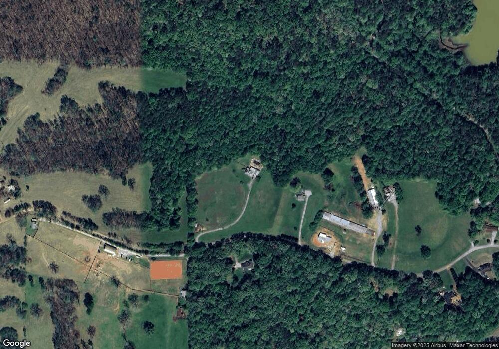
Map
Nearby Homes
- 194 Deerfield Dr
- 150 Buck Run E
- 0x Pink Williams Rd
- 0x Pink Williams Rd Unit 124AC
- 33 T J Mote Rd
- 33 Tj Mote Rd
- 221 Laurel Cir
- 486 Laurel Cir
- 6418 Dawsonville Hwy
- 115 W Woods Dr
- 0 Rainmore Dr Unit 7620063
- 0 Rainmore Dr Unit 10570615
- 155 Braeburn Ln
- 103 Rainmore Dr
- 27 Bryn Ct
- 49 Makers Way
- 50 Hannahs Ct
- 1861 Mill Creek Rd
- 50 Loyal Dr
- 78 Etowah West Dr
- 524 Arrendale Rd
- 625 Arrendale Rd
- 4844 Dawsonville Hwy
- 375 Arrendale Rd
- 294 Arrendale Rd
- 631 Rose Marie Rd
- 333 Arrendale Rd
- 111 Windy Oaks Rd
- 5116 Dawsonville Hwy
- 241 Arrendale Rd
- 120 Windy Oaks Rd
- 5131 Dawsonville Hwy
- 163 Arrendale Rd
- 118 Arrendale Rd
- 2 Preservation Way
- 1 Preservation Way
- 0 Off of Arrendale Rd Dawsonville Hwy Unit 4.5AC 7502921
- 0 Mooney Creek Rd Unit 7484071
- 0 Mooney Creek Rd Unit 3208514
- 0 Mooney Creek Rd Unit 8349498