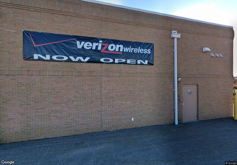
670 Centre of New England Blvd Coventry, RI 02816
--
Bed
--
Bath
17,365
Sq Ft
2.39
Acres
About This Home
This home is located at 670 Centre of New England Blvd, Coventry, RI 02816. 670 Centre of New England Blvd is a home located in Kent County with nearby schools including Alan Shawn Feinstein Ms Of Cov, Coventry High School, and Father John V. Doyle School.
Ownership History
Date
Name
Owned For
Owner Type
Purchase Details
Closed on
Aug 15, 2014
Sold by
Mtm Cne Llc
Bought by
670 & 720 Coventry Llc
Create a Home Valuation Report for This Property
The Home Valuation Report is an in-depth analysis detailing your home's value as well as a comparison with similar homes in the area
Home Values in the Area
Average Home Value in this Area
Purchase History
| Date | Buyer | Sale Price | Title Company |
|---|---|---|---|
| 670 & 720 Coventry Llc | $4,400,000 | -- |
Source: Public Records
Mortgage History
| Date | Status | Borrower | Loan Amount |
|---|---|---|---|
| Previous Owner | 670 & 720 Coventry Llc | $531,000 | |
| Previous Owner | 670 & 720 Coventry Llc | $3,600,000 | |
| Previous Owner | 670 & 720 Coventry Llc | $1,660,000 |
Source: Public Records
Tax History Compared to Growth
Tax History
| Year | Tax Paid | Tax Assessment Tax Assessment Total Assessment is a certain percentage of the fair market value that is determined by local assessors to be the total taxable value of land and additions on the property. | Land | Improvement |
|---|---|---|---|---|
| 2024 | $32,237 | $1,448,200 | $717,000 | $731,200 |
| 2023 | $31,209 | $1,448,200 | $717,000 | $731,200 |
| 2022 | $30,910 | $1,310,300 | $621,400 | $688,900 |
| 2021 | $30,648 | $1,310,300 | $621,400 | $688,900 |
| 2020 | $35,129 | $1,310,300 | $621,400 | $688,900 |
| 2019 | $36,765 | $1,371,300 | $521,300 | $850,000 |
| 2018 | $35,722 | $1,371,300 | $521,300 | $850,000 |
| 2017 | $34,680 | $1,371,300 | $521,300 | $850,000 |
| 2016 | $34,696 | $1,344,300 | $511,100 | $833,200 |
| 2015 | $33,742 | $1,344,300 | $511,100 | $833,200 |
| 2014 | $33,043 | $1,344,300 | $511,100 | $833,200 |
| 2013 | $32,671 | $1,452,700 | $583,500 | $869,200 |
Source: Public Records
Map
Nearby Homes
- 1901 Village Green Cir
- 11 Cedar Ridge Ln
- 21 Cedar Ridge Ln
- 13 Pine Grove Ln
- 50 Carrs Pond Rd
- 29 Enzo Dr
- 2500 Division Rd
- 1 Stephanie Dr
- 250 Hopkins Hill Rd
- 25 Wescott Way Unit 80
- 1 Hampton Rd Unit 27
- 19 Hampton Rd Unit 69
- 32 Wescott Way Unit 53
- 40 Wescott Way Unit 57
- 15 Hampton Rd Unit 20
- 12 Whittier Dr
- 25 Westfield Dr
- 65 Angus St
- 10 Minglewood Dr
- 57 Twin Lakes Ave
- 710 Centre of New England Blvd
- 713 Centre New England Blvd
- 718 Centre of New England Blvd
- 3105 Village Green Cir
- 3103 Village Green Cir
- 3301 Village Green Cir
- 3303 Village Green Cir
- 3101 Village Green Cir
- 2903 Village Green Cir
- 2901 Village Green Cir
- 2707 Village Green Cir
- 3501 Village Green Cir
- 3501 Village Green Cir Unit 7A
- 2705 Village Green Cir
- 2703 Village Green Cir
- 2701 Village Green Cir
- 2701 Village Green Cir Unit 2701
- 3503 Village Green Cir
- 3503 Village Green Cir Unit 7 B
- 2808 Village Green Cir
