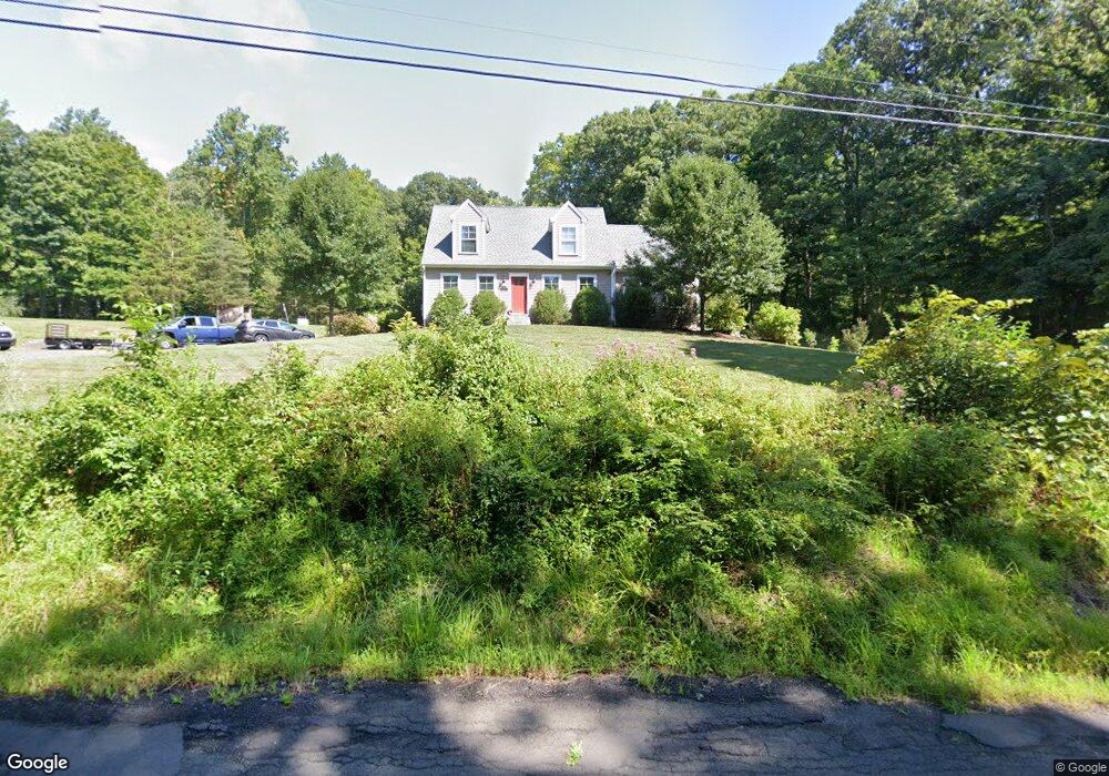
670 County Rd Guilford, CT 06437
Estimated Value: $592,000 - $983,000
4
Beds
3
Baths
1,748
Sq Ft
$412/Sq Ft
Est. Value
About This Home
This home is located at 670 County Rd, Guilford, CT 06437 and is currently estimated at $720,432, approximately $412 per square foot. 670 County Rd is a home with nearby schools including A. Baldwin Middle School, E.C. Adams Middle School, and Guilford High School.
Ownership History
Date
Name
Owned For
Owner Type
Purchase Details
Closed on
Jul 18, 2016
Sold by
Martorella Sara A
Bought by
Martorella John C
Current Estimated Value
Purchase Details
Closed on
Jul 25, 2014
Sold by
Rossiter Ethel E
Bought by
Martorella John C and Martorella Sara A
Home Financials for this Owner
Home Financials are based on the most recent Mortgage that was taken out on this home.
Original Mortgage
$285,000
Interest Rate
4.18%
Mortgage Type
New Conventional
Create a Home Valuation Report for This Property
The Home Valuation Report is an in-depth analysis detailing your home's value as well as a comparison with similar homes in the area
Home Values in the Area
Average Home Value in this Area
Purchase History
| Date | Buyer | Sale Price | Title Company |
|---|---|---|---|
| Martorella John C | -- | -- | |
| Martorella John C | $127,000 | -- |
Source: Public Records
Mortgage History
| Date | Status | Borrower | Loan Amount |
|---|---|---|---|
| Open | Martorella John C | $329,000 | |
| Previous Owner | Martorella John C | $95,000 | |
| Previous Owner | Martorella John C | $285,000 |
Source: Public Records
Tax History
| Year | Tax Paid | Tax Assessment Tax Assessment Total Assessment is a certain percentage of the fair market value that is determined by local assessors to be the total taxable value of land and additions on the property. | Land | Improvement |
|---|---|---|---|---|
| 2025 | $8,807 | $318,500 | $161,000 | $157,500 |
| 2024 | $8,466 | $318,500 | $161,000 | $157,500 |
| 2023 | $8,243 | $318,500 | $161,000 | $157,500 |
| 2022 | $7,708 | $231,810 | $123,900 | $107,910 |
| 2021 | $7,562 | $231,810 | $123,900 | $107,910 |
| 2020 | $4,618 | $231,810 | $123,900 | $107,910 |
| 2019 | $7,425 | $231,810 | $123,900 | $107,910 |
| 2018 | $7,192 | $229,910 | $123,900 | $106,010 |
| 2017 | $4,517 | $236,270 | $126,000 | $110,270 |
| 2016 | $6,774 | $236,270 | $126,000 | $110,270 |
| 2015 | $6,672 | $236,270 | $126,000 | $110,270 |
| 2014 | $2,764 | $100,800 | $100,800 | $0 |
Source: Public Records
Map
Nearby Homes
- 250 Elm St
- 154 Wilburs Ln
- 286 Weatherly Trail
- 0 Tamarack Ln Unit Lot 23 24071362
- 0 Tamarack Ln Unit Lot 19 24071360
- 42 Harrison Rd
- 2125 Long Hill Rd
- 375 Sea Hill Rd
- 2064 Long Hill Rd
- 448 Lake Dr
- 603 Lake Dr
- 77 Pinebrook Cir
- 134 Janeway Dr
- 24 Echo Point Rd
- 66 Mohawk Trail Unit 66
- 95 Wauwinet Trail Unit 95
- 4365 Durham Rd
- 42 Saginaw Trail Unit 42
- 87 White Birch Dr
- 18 Deer Path Ln
Your Personal Tour Guide
Ask me questions while you tour the home.