Estimated Value: $286,000 - $316,574
--
Bed
2
Baths
1,544
Sq Ft
$192/Sq Ft
Est. Value
About This Home
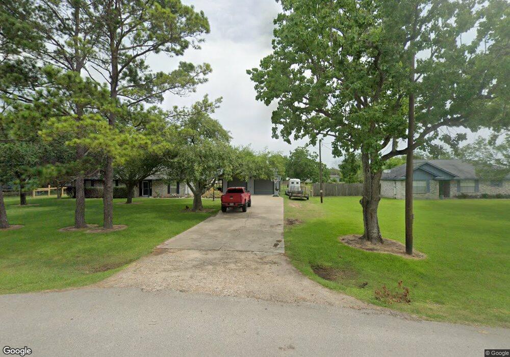
This home is located at 670 County Road 296d, Alvin, TX 77511 and is currently estimated at $295,894, approximately $191 per square foot. 670 County Road 296d is a home located in Brazoria County with nearby schools including Mark Twain Elementary School, G.W. Harby Junior High School, and Alvin High School.
Ownership History
Date
Name
Owned For
Owner Type
Purchase Details
Closed on
Mar 30, 1999
Sold by
West Gerald and West Jena
Bought by
Kazmiroski John Henry and Kazmiroski Denise A
Current Estimated Value
Home Financials for this Owner
Home Financials are based on the most recent Mortgage that was taken out on this home.
Original Mortgage
$75,650
Outstanding Balance
$18,806
Interest Rate
6.82%
Estimated Equity
$277,088
Create a Home Valuation Report for This Property
The Home Valuation Report is an in-depth analysis detailing your home's value as well as a comparison with similar homes in the area
Home Values in the Area
Average Home Value in this Area
Purchase History
| Date | Buyer | Sale Price | Title Company |
|---|---|---|---|
| Kazmiroski John Henry | -- | Alamo Title 30 |
Source: Public Records
Mortgage History
| Date | Status | Borrower | Loan Amount |
|---|---|---|---|
| Open | Kazmiroski John Henry | $75,650 |
Source: Public Records
Tax History Compared to Growth
Tax History
| Year | Tax Paid | Tax Assessment Tax Assessment Total Assessment is a certain percentage of the fair market value that is determined by local assessors to be the total taxable value of land and additions on the property. | Land | Improvement |
|---|---|---|---|---|
| 2025 | $3,411 | $266,840 | $80,000 | $186,840 |
| 2023 | $3,411 | $235,829 | $80,000 | $186,730 |
| 2022 | $4,568 | $214,390 | $70,000 | $161,740 |
| 2021 | $4,325 | $194,900 | $60,000 | $134,900 |
| 2020 | $4,008 | $194,900 | $60,000 | $134,900 |
| 2019 | $3,751 | $162,040 | $18,000 | $144,040 |
| 2018 | $3,761 | $162,040 | $18,000 | $144,040 |
| 2017 | $3,571 | $152,000 | $17,250 | $134,750 |
| 2016 | $3,450 | $148,710 | $18,000 | $130,710 |
| 2014 | $2,705 | $130,480 | $15,000 | $115,480 |
Source: Public Records
Map
Nearby Homes
- 432 Kendall Crest Dr
- 424 Kendall Crest Dr
- 415 Kendall Crest Dr
- 406 Kendall Crest Dr
- 396 Kendall Crest Dr
- 431 Kendall Crest Dr
- 394 Kendall Crest Dr
- 418 Kendall Crest Dr
- 414 Kendall Crest Dr
- 404 Kendall Crest Dr
- 390 Kendall Crest Dr
- 397 Kendall Crest Dr
- 380 Kendall Crest Dr
- 368 Selah Ct
- 103 Cline Dr
- 356 Selah Ct
- 350 Selah Ct
- 5330 Latigo Ct
- 726 Rim Water Dr
- 340 Kendall Crest Dr
- 642 County Road 296d
- 616 County Road 296d
- 616 County Rd
- 712 County Road 296d
- 659 County Road 296d
- 296 County Road 296
- 457 County Road 296a
- 647 County Road 296d
- 271 County Road 296a
- 762 County Road 296d
- 187 County Road 296c
- 395 County Road 296a
- 188 County Road 296c
- 515 County Road 296a
- 407 Mattes Ln
- 155 County Road 296c
- lot 46 Oliver Ln
- 491 County Road 291
- 491 County Road 291 Unit CR
- 792 County Rd