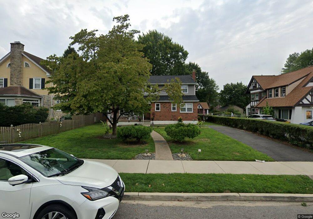
670 Cypress St Lansdowne, PA 19050
Estimated Value: $242,000 - $396,000
4
Beds
3
Baths
3,820
Sq Ft
$88/Sq Ft
Est. Value
About This Home
This home is located at 670 Cypress St, Lansdowne, PA 19050 and is currently estimated at $334,900, approximately $87 per square foot. 670 Cypress St is a home located in Delaware County with nearby schools including Evans Elementary School, Penn Wood Middle School, and Penn Wood High School - Cypress Street Campus.
Ownership History
Date
Name
Owned For
Owner Type
Purchase Details
Closed on
Aug 5, 2021
Sold by
Petrvs Architecture Llc
Bought by
Mcdougal Louise K
Current Estimated Value
Purchase Details
Closed on
Sep 16, 2020
Sold by
Jones Ottis Thomas and Estate Of Olivia Jones
Bought by
Petrvs Architecture Llc
Purchase Details
Closed on
Oct 24, 1997
Sold by
Jones Ottis and Jones Olivia F
Bought by
Jones Olivia F
Create a Home Valuation Report for This Property
The Home Valuation Report is an in-depth analysis detailing your home's value as well as a comparison with similar homes in the area
Home Values in the Area
Average Home Value in this Area
Purchase History
| Date | Buyer | Sale Price | Title Company |
|---|---|---|---|
| Mcdougal Louise K | $180,000 | None Available | |
| Petrvs Architecture Llc | $75,500 | Prosperity Abstract Llc | |
| Jones Olivia F | -- | -- |
Source: Public Records
Tax History Compared to Growth
Tax History
| Year | Tax Paid | Tax Assessment Tax Assessment Total Assessment is a certain percentage of the fair market value that is determined by local assessors to be the total taxable value of land and additions on the property. | Land | Improvement |
|---|---|---|---|---|
| 2025 | $9,691 | $226,940 | $53,400 | $173,540 |
| 2024 | $9,691 | $226,940 | $53,400 | $173,540 |
| 2023 | $8,801 | $226,940 | $53,400 | $173,540 |
| 2022 | $8,392 | $226,940 | $53,400 | $173,540 |
| 2021 | $12,690 | $226,940 | $53,400 | $173,540 |
| 2020 | $9,251 | $148,140 | $30,840 | $117,300 |
| 2019 | $9,089 | $148,140 | $30,840 | $117,300 |
| 2018 | $8,962 | $148,140 | $0 | $0 |
| 2017 | $8,774 | $148,140 | $0 | $0 |
| 2016 | $830 | $148,140 | $0 | $0 |
| 2015 | $830 | $148,140 | $0 | $0 |
| 2014 | $830 | $148,140 | $0 | $0 |
Source: Public Records
Map
Nearby Homes
- 740 Church Ln
- 711 Yeadon Ave Unit 1
- 702 Cedar Ave
- 1016 Whitby Ave
- 813 Arbor Rd
- 722 Yeadon Ave
- 800 Bullock Ave
- 825 Laurel Rd
- 536 Cypress St
- 808 Serrill Ave
- 908 Yeadon Ave
- 537 Orchard Ave
- 530 Orchard Ave
- 921 Serrill Ave
- 503 Bonsall Ave
- 939 Serrill Ave
- 435 Bonsall Ave
- 923 Bell Ave
- 407 Church Ln
- 603 Penn St