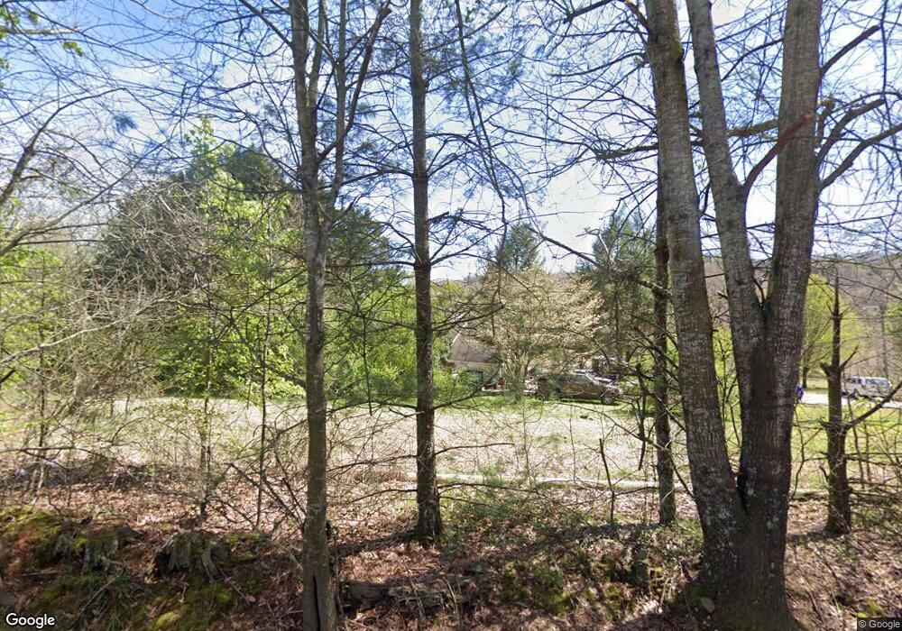
670 Daily Rd Baldwin, GA 30511
Estimated Value: $395,000 - $553,000
3
Beds
2
Baths
2,313
Sq Ft
$198/Sq Ft
Est. Value
About This Home
This home is located at 670 Daily Rd, Baldwin, GA 30511 and is currently estimated at $457,333, approximately $197 per square foot. 670 Daily Rd is a home located in Banks County with nearby schools including Banks County Primary School, Banks County Elementary School, and Banks County Middle School.
Ownership History
Date
Name
Owned For
Owner Type
Purchase Details
Closed on
Feb 16, 2007
Sold by
Higgins Michael O
Bought by
Burkett Jessica S
Current Estimated Value
Purchase Details
Closed on
Apr 14, 2006
Sold by
Higgins Michael O
Bought by
Higgins Michael O and Higgins Tracy D
Home Financials for this Owner
Home Financials are based on the most recent Mortgage that was taken out on this home.
Original Mortgage
$225,000
Interest Rate
6.31%
Mortgage Type
New Conventional
Create a Home Valuation Report for This Property
The Home Valuation Report is an in-depth analysis detailing your home's value as well as a comparison with similar homes in the area
Home Values in the Area
Average Home Value in this Area
Purchase History
| Date | Buyer | Sale Price | Title Company |
|---|---|---|---|
| Burkett Jessica S | $249,900 | -- | |
| Higgins Michael O | -- | -- | |
| Higgins Michael O | $225,000 | -- |
Source: Public Records
Mortgage History
| Date | Status | Borrower | Loan Amount |
|---|---|---|---|
| Previous Owner | Higgins Michael O | $225,000 |
Source: Public Records
Tax History Compared to Growth
Tax History
| Year | Tax Paid | Tax Assessment Tax Assessment Total Assessment is a certain percentage of the fair market value that is determined by local assessors to be the total taxable value of land and additions on the property. | Land | Improvement |
|---|---|---|---|---|
| 2025 | $2,825 | $157,341 | $29,080 | $128,261 |
| 2024 | $2,825 | $149,982 | $26,437 | $123,545 |
| 2023 | $2,039 | $120,151 | $28,328 | $91,823 |
| 2022 | $2,031 | $98,660 | $20,564 | $78,096 |
| 2021 | $1,590 | $73,174 | $15,818 | $57,356 |
| 2020 | $1,538 | $69,073 | $11,717 | $57,356 |
| 2019 | $1,546 | $69,073 | $11,717 | $57,356 |
| 2018 | $1,556 | $68,407 | $11,717 | $56,690 |
| 2017 | $1,580 | $66,672 | $10,189 | $56,483 |
| 2016 | $1,626 | $66,672 | $10,189 | $56,483 |
| 2015 | $1,695 | $66,672 | $10,189 | $56,483 |
| 2014 | $1,695 | $73,855 | $17,372 | $56,483 |
| 2013 | -- | $73,855 | $17,372 | $56,483 |
Source: Public Records
Map
Nearby Homes
- 340 Daily Rd
- 209 Alice Moss Ln
- 0 Soapstone Rd Unit 7646343
- 0 Soapstone Rd Unit 10600294
- 716 Hawkins Rd
- 157 Peachwood Ln
- 149 Peachwood Ln
- 1313 Damascus Rd
- 0 Smokerise Unit 10602885
- 0 Planters Creek Unit LOT 34 10482364
- 535 Otis Brown Rd
- 113 Wynn Wood Ln
- 750 Rock Springs Rd
- 0 Whippoorwill Terrace Unit 10552744
- 0 Whippoorwill Terrace Unit 7605702
- 1140 Scales Creek Rd
- 382 Simmons Rd
- 0 Wynn Lake Rd Unit 10640622
- 154 Greenview Ct
- The Dunhill Plan at Chimney Oaks
- 697 Daily Rd
- 714 Daily Rd
- 102 Robins Nest Rd
- 590 Daily Rd
- 1217 Highway 198
- 1217 Highway 198
- 132 Robins Nest Rd
- 1219 Highway 198
- 1219 Highway 198 Unit TRACT 3
- 1219 Highway 198 Unit TRACT 3
- 1219 Highway 198
- 1302 Highway 198
- 1309 Highway 198
- 0 Daily Rd Unit 3112886
- 0 Daily Rd Unit 7282145
- 1309 Georgia 198
- 790 Daily Rd
- 0 Daily Rd Unit 8939569
- 0 Daily Rd
- 477 Daily Rd