670 E Christensen Dr Richfield, UT 84701
--
Bed
--
Bath
--
Sq Ft
--
Built
About This Home
This home is located at 670 E Christensen Dr, Richfield, UT 84701. 670 E Christensen Dr is a home with nearby schools including Ashman School, Pahvant School, and Red Hills Middle School.
Create a Home Valuation Report for This Property
The Home Valuation Report is an in-depth analysis detailing your home's value as well as a comparison with similar homes in the area
Tax History
| Year | Tax Paid | Tax Assessment Tax Assessment Total Assessment is a certain percentage of the fair market value that is determined by local assessors to be the total taxable value of land and additions on the property. | Land | Improvement |
|---|---|---|---|---|
| 2025 | $3,203 | $329,932 | $46,620 | $283,312 |
| 2024 | $3,203 | $364,867 | $38,027 | $326,840 |
| 2023 | $3,610 | $366,670 | $34,794 | $331,876 |
| 2022 | $2,025 | $184,907 | $30,486 | $154,421 |
| 2021 | $797 | $61,214 | $30,459 | $30,755 |
| 2020 | $19 | $1,391 | $1,391 | $0 |
| 2019 | $18 | $1,410 | $1,410 | $0 |
| 2018 | $22 | $1,570 | $1,570 | $0 |
| 2017 | $24 | $1,640 | $1,640 | $0 |
| 2016 | -- | $1,610 | $0 | $0 |
| 2015 | -- | $1,580 | $0 | $0 |
| 2014 | -- | $1,660 | $0 | $0 |
Source: Public Records
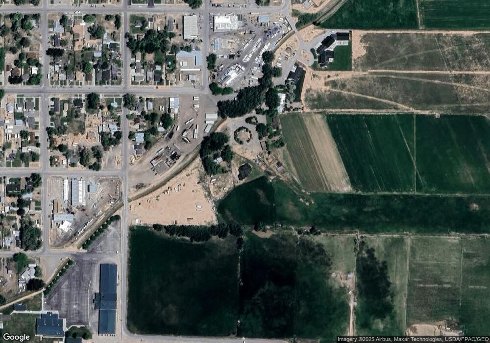
Map
Nearby Homes
- 442 E Center St
- 662 E 300 N
- 227 E 300 N
- 375 N 800 E
- 39 N 200 E
- 47 N 200 E
- 685 E 500 N
- 75 E 400 S
- 59 E 400 S
- 280 S 100 W
- 1350 E 600 S
- 73 W 500 S Unit 102
- 73 W 500 S Unit 201
- 73 W 500 S Unit 204
- 73 W 500 S Unit 303
- 553 S 100 W Unit 303
- 553 S 100 W Unit 102
- 553 S 100 W Unit 201
- 553 S 100 W Unit 202
- 553 S 100 W Unit 104
Your Personal Tour Guide
Ask me questions while you tour the home.