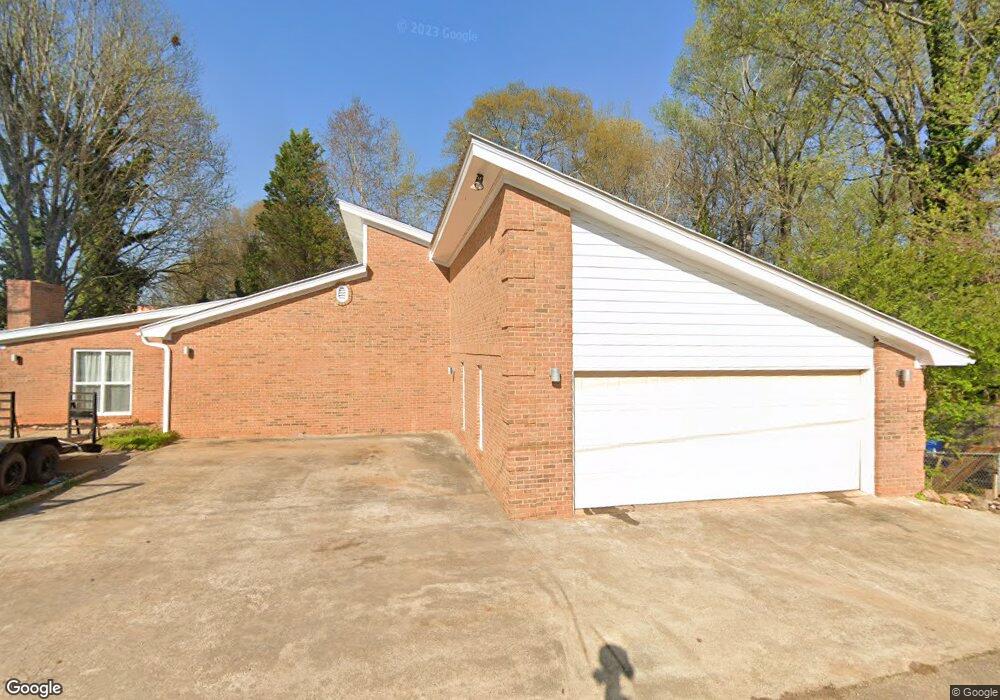
670 Highway 29 N Danielsville, GA 30633
Estimated Value: $377,000 - $412,000
5
Beds
3
Baths
3,834
Sq Ft
$101/Sq Ft
Est. Value
About This Home
This home is located at 670 Highway 29 N, Danielsville, GA 30633 and is currently estimated at $387,045, approximately $100 per square foot. 670 Highway 29 N is a home located in Madison County with nearby schools including Madison County High School.
Ownership History
Date
Name
Owned For
Owner Type
Purchase Details
Closed on
Aug 7, 2020
Sold by
Dickey Mary C
Bought by
Kelley Tj
Current Estimated Value
Purchase Details
Closed on
May 10, 2012
Sold by
Branch Banking & Trust C
Bought by
Dickey Lawrence R and Dickey Mary C
Purchase Details
Closed on
Sep 18, 2006
Sold by
Beneficial Mtg Co Of Georg
Bought by
Zorbanos Peter F
Purchase Details
Closed on
Nov 1, 2005
Sold by
Miller Doris H
Bought by
Beneficial Mtg Co Of Georgia
Purchase Details
Closed on
Jan 1, 1995
Bought by
Miller Doris
Create a Home Valuation Report for This Property
The Home Valuation Report is an in-depth analysis detailing your home's value as well as a comparison with similar homes in the area
Home Values in the Area
Average Home Value in this Area
Purchase History
| Date | Buyer | Sale Price | Title Company |
|---|---|---|---|
| Kelley Tj | $269,000 | -- | |
| Dickey Lawrence R | $80,000 | -- | |
| Zorbanos Peter F | $132,000 | -- | |
| Beneficial Mtg Co Of Georgia | -- | -- | |
| Miller Doris | -- | -- |
Source: Public Records
Tax History Compared to Growth
Tax History
| Year | Tax Paid | Tax Assessment Tax Assessment Total Assessment is a certain percentage of the fair market value that is determined by local assessors to be the total taxable value of land and additions on the property. | Land | Improvement |
|---|---|---|---|---|
| 2024 | $5,789 | $182,745 | $5,920 | $176,825 |
| 2023 | $6,240 | $170,463 | $5,920 | $164,543 |
| 2022 | $4,866 | $149,780 | $5,920 | $143,860 |
| 2021 | $4,122 | $112,608 | $5,920 | $106,688 |
| 2020 | $2,252 | $61,257 | $5,920 | $55,337 |
| 2019 | $2,227 | $59,954 | $5,920 | $54,034 |
| 2018 | $2,186 | $58,682 | $5,920 | $52,762 |
| 2017 | $2,003 | $58,538 | $5,920 | $52,618 |
| 2016 | $1,644 | $47,465 | $3,638 | $43,827 |
| 2015 | $1,425 | $47,465 | $3,638 | $43,827 |
| 2014 | $1,438 | $47,813 | $3,392 | $44,421 |
| 2013 | -- | $47,813 | $3,392 | $44,421 |
Source: Public Records
Map
Nearby Homes
- 430 Sherwood Cir
- 255 Hillwood Dr Unit 1
- 105 Georgia 98
- 00 Highway 29 Unit A
- 170 Northridge Dr
- 150 Northridge Dr Unit 3
- 150 Northridge Dr
- 140 Northridge Dr
- 140 Northridge Dr Unit 6
- 112 Northridge Dr Unit 8
- 112 Northridge Dr
- 96 Northridge Dr Unit 10
- 96 Northridge Dr
- 49 Ridgeway Dr
- 0 Irvin Kirk Rd
- 155 Mulberry Ln
- 0 Veterans Dr Unit 10462425
- 0 Veterans Dr Unit 10462434
- 0 Veterans Dr Unit 10462428
- 0 Veterans Dr Unit 10462420
- 670 Highway 29 N Unit 1
- 670 U S 29
- 670 Hwy 29n
- 570 Hwy 29n
- 60 Grady Ln
- 694 Highway 29 N
- 715 U S 29
- 530 General Daniel Ave N
- 514 General Daniel Ave
- 65 Sunset Dr
- 514 General Daniels Ave N
- 569 General Daniel Ave N
- 790 Highway 29 N
- 790 Hwy 29n
- 81 Sherwood Dr
- 109 Sherwood Dr
- 63 Sherwood Dr
- 155 Sherwood Dr
- 43 Sherwood Dr
- 0 Sherwood Dr