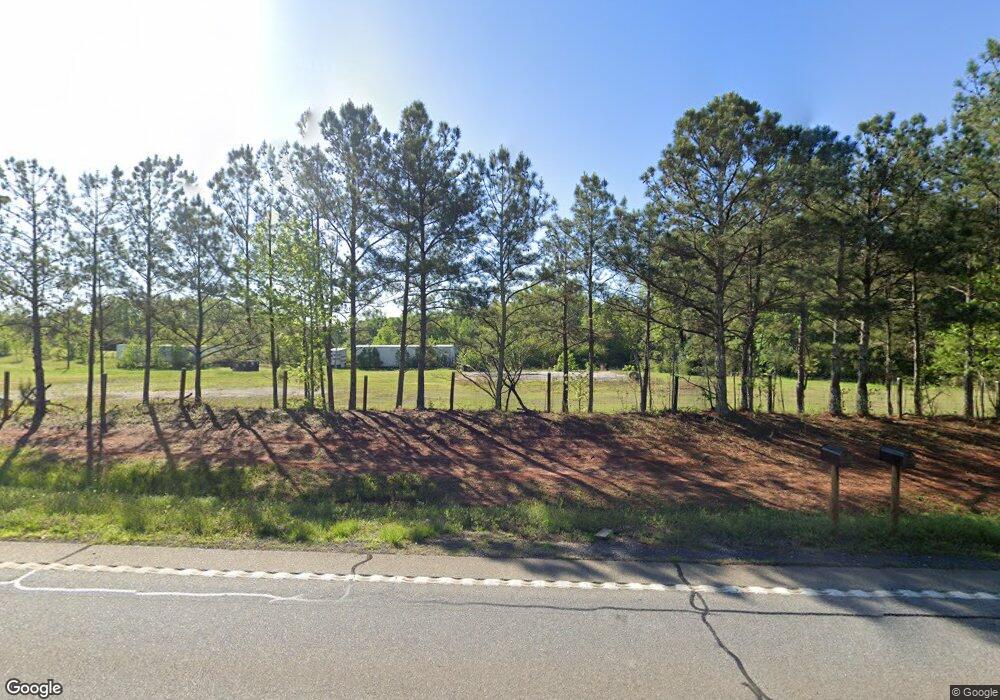
670 Highway 36 W Barnesville, GA 30204
Estimated Value: $203,000 - $307,000
3
Beds
2
Baths
1,541
Sq Ft
$166/Sq Ft
Est. Value
About This Home
This home is located at 670 Highway 36 W, Barnesville, GA 30204 and is currently estimated at $255,469, approximately $165 per square foot. 670 Highway 36 W is a home located in Lamar County with nearby schools including Lamar County Primary School, Lamar County Elementary School, and Lamar County Middle School.
Ownership History
Date
Name
Owned For
Owner Type
Purchase Details
Closed on
Mar 14, 2003
Sold by
Mortgage Guaranty Ins Corp
Bought by
Williams Crystal D
Current Estimated Value
Purchase Details
Closed on
Mar 13, 2003
Sold by
Federal Home Loan Mortgage Cor
Bought by
Mortgage Guaranty Ins Corp
Purchase Details
Closed on
Apr 10, 2002
Sold by
Chase Manhattan Mortgage
Bought by
Federal Home Loan Mortgage Corp
Purchase Details
Closed on
Jun 27, 1997
Sold by
Buchanan Kevin
Bought by
Niblett Michael
Create a Home Valuation Report for This Property
The Home Valuation Report is an in-depth analysis detailing your home's value as well as a comparison with similar homes in the area
Home Values in the Area
Average Home Value in this Area
Purchase History
| Date | Buyer | Sale Price | Title Company |
|---|---|---|---|
| Williams Crystal D | $90,800 | -- | |
| Mortgage Guaranty Ins Corp | -- | -- | |
| Federal Home Loan Mortgage Corp | -- | -- | |
| Chase Manhattan Mortgage | -- | -- | |
| Niblett Michael | $80,300 | -- |
Source: Public Records
Tax History Compared to Growth
Tax History
| Year | Tax Paid | Tax Assessment Tax Assessment Total Assessment is a certain percentage of the fair market value that is determined by local assessors to be the total taxable value of land and additions on the property. | Land | Improvement |
|---|---|---|---|---|
| 2024 | $1,841 | $73,822 | $5,995 | $67,827 |
| 2023 | $1,867 | $69,521 | $5,995 | $63,526 |
| 2022 | $1,656 | $61,884 | $3,116 | $58,768 |
| 2021 | $1,131 | $39,508 | $3,116 | $36,392 |
| 2020 | $1,190 | $39,508 | $3,116 | $36,392 |
| 2019 | $1,193 | $39,508 | $3,116 | $36,392 |
| 2018 | $1,146 | $39,508 | $3,116 | $36,392 |
| 2017 | $1,140 | $39,508 | $3,116 | $36,392 |
| 2016 | $1,141 | $39,508 | $3,116 | $36,392 |
| 2015 | $1,144 | $39,787 | $3,116 | $36,671 |
| 2014 | $1,101 | $39,507 | $3,116 | $36,392 |
| 2013 | -- | $39,507 | $3,115 | $36,391 |
Source: Public Records
Map
Nearby Homes
- 144 Berry Rd
- 150 Berry Rd
- 146 Berry Rd
- 148 Berry Rd
- 818 Cannafax Rd
- 725 Mccollum Rd
- 254 Needleleaf Dr
- 410 Country Kitchen Rd
- 0 Veterns Pkwy Unit 10515268
- 0 Highway 341 S Unit 181569
- 0 Highway 341 S Unit 10610486
- 500 Rose Ave
- 0 Yatesville Rd Unit 24570293
- 0 Yatesville Rd Unit 10650403
- 00 Yatesville Rd Unit 1
- 0 College Dr Unit 10632977
- 0 U S 341
- 0 Perkins Rd Unit 253616
- 0 Perkins Rd Unit 10625263
- 0 Perkins Rd Unit 10635198
- 686 Highway 36 W
- 237 Williams Rd
- 692 Highway 36 W
- 251 Williams Rd
- 644 Highway 36 W
- 267 Williams Rd
- 935 Cannafax Rd
- 636 Highway 36 W
- 919 Cannafax Rd
- 277 Williams Rd
- 297 Williams Rd
- 588 Highway 36 W
- 608 Highway 36 W
- 0 CANNAFAX ROAD Cannafax Rd
- 305 Williams Rd
- 602 Highway 36 W
- 207 Country Kitchen Rd
- 598 Highway 36 W
- 323 Williams Rd
- 131 Berry Rd
