670 Mcdaniel Rd Yoncalla, OR 97499
Estimated Value: $383,000 - $482,139
5
Beds
3
Baths
2,622
Sq Ft
$163/Sq Ft
Est. Value
About This Home
This home is located at 670 Mcdaniel Rd, Yoncalla, OR 97499 and is currently estimated at $427,285, approximately $162 per square foot. 670 Mcdaniel Rd is a home located in Douglas County with nearby schools including Yoncalla Elementary School and Yoncalla High School.
Ownership History
Date
Name
Owned For
Owner Type
Purchase Details
Closed on
May 4, 2018
Sold by
Mcdaniel William E and Mcdaniel Ada M
Bought by
Mcdaniel Caleb E and Mcdaniel Taylor R
Current Estimated Value
Home Financials for this Owner
Home Financials are based on the most recent Mortgage that was taken out on this home.
Original Mortgage
$133,000
Outstanding Balance
$114,159
Interest Rate
4.45%
Mortgage Type
New Conventional
Estimated Equity
$313,126
Create a Home Valuation Report for This Property
The Home Valuation Report is an in-depth analysis detailing your home's value as well as a comparison with similar homes in the area
Home Values in the Area
Average Home Value in this Area
Purchase History
| Date | Buyer | Sale Price | Title Company |
|---|---|---|---|
| Mcdaniel Caleb E | $140,000 | First American Title |
Source: Public Records
Mortgage History
| Date | Status | Borrower | Loan Amount |
|---|---|---|---|
| Open | Mcdaniel Caleb E | $133,000 |
Source: Public Records
Tax History Compared to Growth
Tax History
| Year | Tax Paid | Tax Assessment Tax Assessment Total Assessment is a certain percentage of the fair market value that is determined by local assessors to be the total taxable value of land and additions on the property. | Land | Improvement |
|---|---|---|---|---|
| 2025 | $3,452 | $366,367 | -- | -- |
| 2024 | $3,342 | $355,698 | -- | -- |
| 2023 | $3,247 | $345,339 | $0 | $0 |
| 2022 | $3,154 | $335,282 | $0 | $0 |
| 2021 | $3,064 | $325,517 | $0 | $0 |
| 2020 | $2,814 | $316,038 | $0 | $0 |
| 2019 | $2,361 | $265,135 | $0 | $0 |
| 2018 | $2,225 | $234,436 | $0 | $0 |
| 2017 | $757 | $74,976 | $0 | $0 |
| 2016 | $737 | $72,818 | $0 | $0 |
| 2015 | $717 | $70,697 | $0 | $0 |
| 2014 | $698 | $68,639 | $0 | $0 |
| 2013 | -- | $66,640 | $0 | $0 |
Source: Public Records
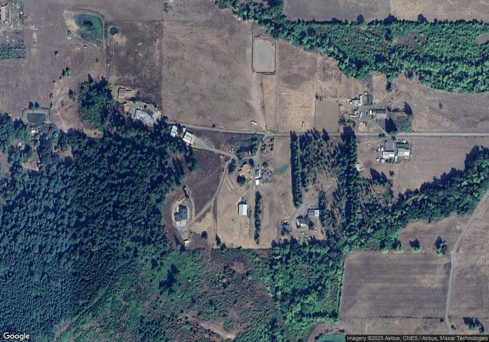
Map
Nearby Homes
- 792 Clone Ave
- 1059 Wooley Ct
- 1019 Wooley Ct
- 1039 Wooley Ct
- 1079 Wooley Ct
- 1089 Wooley Ct
- 0 Anne St Unit LOT 3 554545762
- 0 Anne St Unit Lot 1 220196575
- 0 Anne St Unit LOT 1 289234974
- 0 Anne St Unit Lot 3
- 373 Hayhurst Rd
- 656 Applegate Ave
- 425 Birch St
- 703 Main St
- 173 Main St
- 156 Cedar St
- 272 Alder St
- 0 1st St
- 252 Alder St
- 485 Andrews Rd
- 700 Mcdaniel Rd
- 632 Mcdaniel Rd
- 463 Mcdaniel Rd
- 232 Mcdaniel Rd
- 1836 Hayhurst Rd
- 8440 Rice Valley Rd
- 992 Clone Ave
- 679 Charles St
- 669 Charles St
- 678 Charles St
- 668 Charles St
- 687 Bridges St
- 641 Westlog St
- 658 Charles St
- 649 Charles St
- 621 Westlog St
- 1036 Whipple Ct
- 1056 Whipple Ct
- 1096 Whipple Ct
- 1076 Whipple Ct