670 Osprey Point Unit 12 Littleton, NC 27850
Estimated Value: $1,235,757 - $2,092,000
4
Beds
3
Baths
3,968
Sq Ft
$392/Sq Ft
Est. Value
About This Home
This home is located at 670 Osprey Point Unit 12, Littleton, NC 27850 and is currently estimated at $1,557,252, approximately $392 per square foot. 670 Osprey Point Unit 12 is a home located in Halifax County with nearby schools including Everetts Elementary School, William R. Davie Middle School, and Northwest Halifax High School.
Ownership History
Date
Name
Owned For
Owner Type
Purchase Details
Closed on
Aug 11, 2021
Sold by
Alberse Peter T and Alberse Helen
Bought by
Holloway Robert C and Holloway Christina K
Current Estimated Value
Home Financials for this Owner
Home Financials are based on the most recent Mortgage that was taken out on this home.
Original Mortgage
$445,000
Outstanding Balance
$404,643
Interest Rate
2.9%
Mortgage Type
New Conventional
Estimated Equity
$1,152,609
Purchase Details
Closed on
May 20, 2009
Sold by
Monaco Carl A and Monaco Maryanne
Bought by
Alberse Peter T and Alberse Helen H
Home Financials for this Owner
Home Financials are based on the most recent Mortgage that was taken out on this home.
Original Mortgage
$417,000
Interest Rate
4.81%
Mortgage Type
New Conventional
Create a Home Valuation Report for This Property
The Home Valuation Report is an in-depth analysis detailing your home's value as well as a comparison with similar homes in the area
Home Values in the Area
Average Home Value in this Area
Purchase History
| Date | Buyer | Sale Price | Title Company |
|---|---|---|---|
| Holloway Robert C | $975,000 | None Available | |
| Alberse Peter T | $705,000 | -- |
Source: Public Records
Mortgage History
| Date | Status | Borrower | Loan Amount |
|---|---|---|---|
| Open | Holloway Robert C | $445,000 | |
| Previous Owner | Alberse Peter T | $417,000 |
Source: Public Records
Tax History Compared to Growth
Tax History
| Year | Tax Paid | Tax Assessment Tax Assessment Total Assessment is a certain percentage of the fair market value that is determined by local assessors to be the total taxable value of land and additions on the property. | Land | Improvement |
|---|---|---|---|---|
| 2025 | $73 | $772,500 | $452,200 | $320,300 |
| 2024 | $73 | $772,500 | $452,200 | $320,300 |
| 2023 | $6,068 | $586,800 | $334,500 | $252,300 |
| 2022 | $6,245 | $586,800 | $334,500 | $252,300 |
| 2021 | $5,489 | $586,800 | $334,500 | $252,300 |
| 2020 | $5,590 | $586,800 | $334,500 | $252,300 |
| 2019 | $5,587 | $537,300 | $334,500 | $202,800 |
| 2018 | $5,475 | $578,700 | $334,500 | $244,200 |
| 2017 | $5,750 | $578,700 | $334,500 | $244,200 |
| 2016 | $5,282 | $578,700 | $334,500 | $244,200 |
| 2015 | $4,898 | $578,700 | $334,500 | $244,200 |
| 2014 | $4,924 | $642,110 | $419,820 | $222,290 |
Source: Public Records
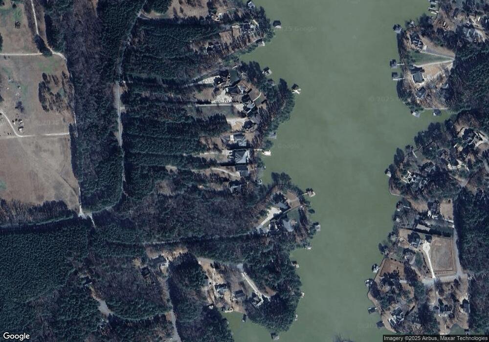
Map
Nearby Homes
- 37 Deepwood Ln
- 000 Swan Dr
- Lot 6 Rabbit Bottom Cir
- 54 Rabbit Bottom Cir
- 1 Starboard Dr
- 91 Shearin Dr
- 18 Stonecrop Cir
- 0702673 Weavers Chapel Rd
- 205 Virginia Rd
- 1639 Lindy Rd
- Lot 7 Pineview Dr
- Lot 6 Pineview Dr
- 250 Riverside Dr
- 217 Riverside Dr
- 176 Mill Stone Rd
- 157 Three Chopt Rd
- 117 Wilkins Court Dr
- 336 Sandy Trace Dr
- 74 Syd's Bluff
- Lot 73 Syd's Bluff
- 670 Osprey Point
- 674 Osprey Point
- 634 Osprey Point
- 680 Osprey Point
- 680 Osprey Point
- 670 Osprey Point Rd
- 700 Osprey Point
- 634 Osprey Point Rd
- 750 Osprey Point
- 764 Osprey Point
- 784 Osprey Point
- 784 Osprey Point
- 612 Osprey Point Rd
- 582 Osprey Point
- 901 Timber Creek Dr
- 582 Osprey Point Rd
- 783 Timber Creek Dr
- 990 Osprey Point
- 838 Timber Creek Dr
- 858 Timber Creek Dr