Estimated Value: $486,896 - $678,000
--
Bed
--
Bath
1
Sq Ft
$586,974/Sq Ft
Est. Value
About This Home
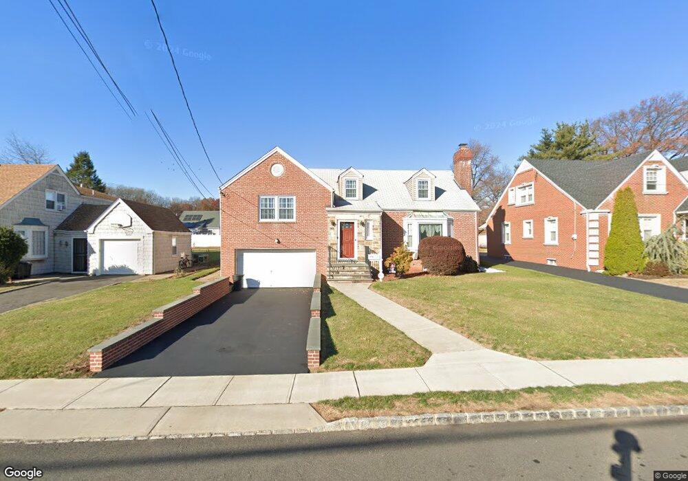
This home is located at 670 Palisade Rd, Union, NJ 07083 and is currently estimated at $586,974, approximately $586,974 per square foot. 670 Palisade Rd is a home located in Union County with nearby schools including Washington Elementary School, Union High School, and Jewish Educational Center Lower School.
Ownership History
Date
Name
Owned For
Owner Type
Purchase Details
Closed on
Aug 3, 2000
Sold by
Migliore Thomas and Mulrain Joan
Bought by
Creanza Thomas W and Creanza Suzanne M
Current Estimated Value
Home Financials for this Owner
Home Financials are based on the most recent Mortgage that was taken out on this home.
Original Mortgage
$189,162
Interest Rate
7.14%
Mortgage Type
FHA
Purchase Details
Closed on
Apr 24, 1997
Sold by
Migliore Salvatore J and Migliore Mary
Bought by
Migliore Thomas and Mulrain Joan
Create a Home Valuation Report for This Property
The Home Valuation Report is an in-depth analysis detailing your home's value as well as a comparison with similar homes in the area
Home Values in the Area
Average Home Value in this Area
Purchase History
| Date | Buyer | Sale Price | Title Company |
|---|---|---|---|
| Creanza Thomas W | $205,000 | -- | |
| Migliore Thomas | -- | -- |
Source: Public Records
Mortgage History
| Date | Status | Borrower | Loan Amount |
|---|---|---|---|
| Previous Owner | Creanza Thomas W | $189,162 |
Source: Public Records
Tax History Compared to Growth
Tax History
| Year | Tax Paid | Tax Assessment Tax Assessment Total Assessment is a certain percentage of the fair market value that is determined by local assessors to be the total taxable value of land and additions on the property. | Land | Improvement |
|---|---|---|---|---|
| 2025 | $12,360 | $55,300 | $21,400 | $33,900 |
| 2024 | $11,983 | $55,300 | $21,400 | $33,900 |
| 2023 | $11,983 | $55,300 | $21,400 | $33,900 |
| 2022 | $11,567 | $55,300 | $21,400 | $33,900 |
| 2021 | $11,286 | $55,300 | $21,400 | $33,900 |
| 2020 | $11,061 | $55,300 | $21,400 | $33,900 |
| 2019 | $10,912 | $55,300 | $21,400 | $33,900 |
| 2018 | $10,727 | $55,300 | $21,400 | $33,900 |
| 2017 | $10,568 | $55,300 | $21,400 | $33,900 |
| 2016 | $10,310 | $55,300 | $21,400 | $33,900 |
| 2015 | $10,139 | $55,300 | $21,400 | $33,900 |
| 2014 | $9,912 | $55,300 | $21,400 | $33,900 |
Source: Public Records
Map
Nearby Homes
- 309 Palisade Rd Unit 323
- 1031 Lowden Ave
- 757 Floral Ave Unit 59
- 749 Cleveland Ave Unit 751
- 1084 Woodland Ave
- 13 Berkeley Place Unit 15
- 842 Travers St
- 790 Green Ln Unit A1
- 138 Monmouth Rd Unit 40
- 161 Morristown Rd Unit 63
- 137-139 Monmouth Rd
- 795 Colonial Arms Rd
- 35 Bellewood Place Unit 37
- 257 Lincoln Ave Unit 259
- 717 Winchester Ave
- 875 Salem Rd
- 275 Clermont Terrace
- 45 Summit Rd Unit 47
- 969 Arnet Ave
- 571 Morris Ave Unit 573
- 676 Palisade Rd
- 664 Palisade Rd
- 680 Palisade Rd
- 654 Palisade Rd
- 671 Summit Rd
- 677 Summit Rd
- 667 Summit Rd
- 684 Palisade Rd
- 661 Summit Rd
- 701 Summit Rd
- 650 Palisade Rd
- 673 Palisade Rd
- 667 Palisade Rd
- 655 Summit Rd
- 705 Summit Rd
- 677 Palisade Rd
- 688 Palisade Rd
- 661 Palisade Rd
- 681 Palisade Rd
- 646 Palisade Rd