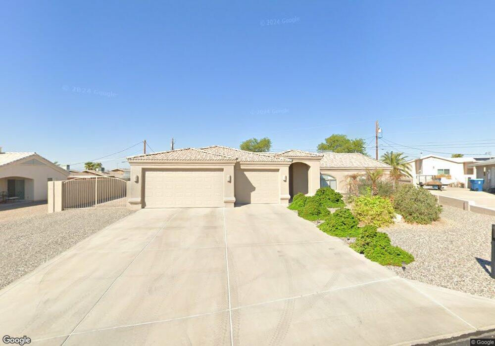
670 Papoose Ln Lake Havasu City, AZ 86406
Estimated Value: $521,000 - $555,000
3
Beds
2
Baths
1,729
Sq Ft
$308/Sq Ft
Est. Value
About This Home
This home is located at 670 Papoose Ln, Lake Havasu City, AZ 86406 and is currently estimated at $532,174, approximately $307 per square foot. 670 Papoose Ln is a home located in Mohave County with nearby schools including Starline Elementary School, Thunderbolt Middle School, and Lake Havasu High School.
Ownership History
Date
Name
Owned For
Owner Type
Purchase Details
Closed on
Apr 8, 2004
Sold by
Twyman John R and Twyman Catherine A
Bought by
Edland Gregory Charles
Current Estimated Value
Home Financials for this Owner
Home Financials are based on the most recent Mortgage that was taken out on this home.
Original Mortgage
$187,900
Outstanding Balance
$87,435
Interest Rate
5.5%
Mortgage Type
Unknown
Estimated Equity
$444,739
Purchase Details
Closed on
Jul 29, 2002
Sold by
Separzadeh Diana
Bought by
Twyman John R and Twyman Catherine A
Create a Home Valuation Report for This Property
The Home Valuation Report is an in-depth analysis detailing your home's value as well as a comparison with similar homes in the area
Home Values in the Area
Average Home Value in this Area
Purchase History
| Date | Buyer | Sale Price | Title Company |
|---|---|---|---|
| Edland Gregory Charles | $234,900 | First American Title Ins Co | |
| Twyman John R | $25,000 | First American Title Ins Co |
Source: Public Records
Mortgage History
| Date | Status | Borrower | Loan Amount |
|---|---|---|---|
| Open | Edland Gregory Charles | $187,900 |
Source: Public Records
Tax History Compared to Growth
Tax History
| Year | Tax Paid | Tax Assessment Tax Assessment Total Assessment is a certain percentage of the fair market value that is determined by local assessors to be the total taxable value of land and additions on the property. | Land | Improvement |
|---|---|---|---|---|
| 2026 | -- | -- | -- | -- |
| 2025 | $1,653 | $42,328 | $0 | $0 |
| 2024 | $1,653 | $45,818 | $0 | $0 |
| 2023 | $1,653 | $39,603 | $0 | $0 |
| 2022 | $1,592 | $28,674 | $0 | $0 |
| 2021 | $1,797 | $26,504 | $0 | $0 |
| 2019 | $1,707 | $23,556 | $0 | $0 |
| 2018 | $1,650 | $22,120 | $0 | $0 |
| 2017 | $1,622 | $21,564 | $0 | $0 |
| 2016 | $1,436 | $20,619 | $0 | $0 |
| 2015 | $1,398 | $18,315 | $0 | $0 |
Source: Public Records
Map
Nearby Homes
- 2820 Indian Springs Dr
- 2890 Yuma Dr
- 2951 Inca Dr
- 2821 Indian Pipe Dr
- 1041 Rolling Hills Dr
- 3066 Star Dr
- 2721 Southwind Ave
- 700 Apache Dr
- 680 Yosemite Dr
- 2741 Jericho Dr
- 3059 Shoshone Dr
- 3072 Shoshone Dr
- 850 Thunderbolt Ave
- 3150 Star Dr
- 2910 Coconino Dr
- 3118 Shoshone Dr
- 3135 Cotati Dr
- 2691 Tonto Dr
- 2970 War Eagle Dr
- 1700rv On You Level Lot
- 2860 Indian Springs Dr
- 672 Papoose Ln
- 680 Papoose Dr
- 668 Papoose Ln
- 2870 Indian Springs Dr
- 2850 Indian Springs Dr
- 2850 Indian Springs Dr
- 690 Papoose Dr
- 2850 Indian Springs
- 660 Papoose Dr
- 664 Papoose Ln
- 2880 Indian Springs Dr
- 662 Papoose Ln
- 700 Papoose Dr
- 2840 Indian Springs Dr
- 650 Papoose Dr
- 2890 Indian Springs Dr
- 2861 Indian Springs Dr
- 671 Papoose Dr
- 681 Papoose Dr