670 Polling House Rd Harwood, MD 20776
Harwood NeighborhoodEstimated Value: $698,000 - $4,251,000
--
Bed
3
Baths
3,410
Sq Ft
$480/Sq Ft
Est. Value
About This Home
This home is located at 670 Polling House Rd, Harwood, MD 20776 and is currently estimated at $1,637,314, approximately $480 per square foot. 670 Polling House Rd is a home located in Anne Arundel County with nearby schools including Lothian Elementary School, Southern Middle School, and Southern High School.
Ownership History
Date
Name
Owned For
Owner Type
Purchase Details
Closed on
Dec 22, 2005
Sold by
Lord Albert L
Bought by
Polling House Management Llc
Current Estimated Value
Purchase Details
Closed on
Dec 21, 2005
Sold by
Lord Albert L
Bought by
Polling House Management Llc
Purchase Details
Closed on
Nov 17, 2004
Sold by
Miller Ira B
Bought by
Lord Albert L
Purchase Details
Closed on
Nov 12, 2004
Sold by
Miller Ira B
Bought by
Lord Albert L
Create a Home Valuation Report for This Property
The Home Valuation Report is an in-depth analysis detailing your home's value as well as a comparison with similar homes in the area
Home Values in the Area
Average Home Value in this Area
Purchase History
| Date | Buyer | Sale Price | Title Company |
|---|---|---|---|
| Polling House Management Llc | -- | -- | |
| Polling House Management Llc | -- | -- | |
| Polling House Management Llc | -- | -- | |
| Polling House Management Llc | -- | -- | |
| Lord Albert L | $2,700,000 | -- | |
| Lord Albert L | $2,700,000 | -- |
Source: Public Records
Tax History Compared to Growth
Tax History
| Year | Tax Paid | Tax Assessment Tax Assessment Total Assessment is a certain percentage of the fair market value that is determined by local assessors to be the total taxable value of land and additions on the property. | Land | Improvement |
|---|---|---|---|---|
| 2025 | $6,554 | $554,033 | -- | -- |
| 2024 | $6,554 | $538,167 | $0 | $0 |
| 2023 | $6,331 | $522,300 | $214,200 | $308,100 |
| 2022 | $5,954 | $514,267 | $0 | $0 |
| 2021 | $5,870 | $506,233 | $0 | $0 |
| 2020 | $5,748 | $498,200 | $196,700 | $301,500 |
| 2019 | $5,646 | $488,000 | $0 | $0 |
| 2018 | $4,845 | $477,800 | $0 | $0 |
| 2017 | $5,181 | $456,600 | $0 | $0 |
| 2016 | -- | $456,600 | $0 | $0 |
| 2015 | -- | $456,600 | $0 | $0 |
| 2014 | -- | $458,700 | $0 | $0 |
Source: Public Records
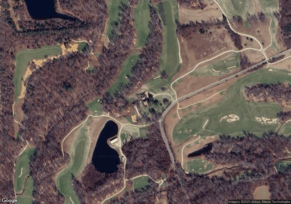
Map
Nearby Homes
- 4440 Claybrooke Dr
- 17436 Claggett Landing Rd
- 17000 Swanson Rd
- 17209 Clairfield Ln
- 16831 Swanson Rd
- 5248 Ferry Branch Ln
- 5257 Ferry Branch Ln
- 17109 Brookmeadow Ln
- 635 Teton Ct
- 896 Mount Zion Marlboro Rd
- 812 Richardson Dr
- 17211 Usher Place
- 17905 Queen Anne Rd
- 17212 Usher Place
- 4001 Terrytown Ct
- 612 Traveller Ct
- 623 Traveller Ct
- 17120 Fairway View Ln
- 17126 Fairway View Ln
- 3512 Eyre Dr S
- 4431 Sands Rd
- 628 Polling House Rd
- 770 Polling House Rd
- 4655 Sands Rd
- 782 Polling House Rd
- 4657 Sands Rd
- 775 Polling House Rd
- 830 Bayard Rd
- 729 Polling House Rd
- 836 Bayard Rd
- 560 Polling House Rd
- 790 Bayard Rd
- 876 Bayard Rd
- 4775 Carmondy Ct
- 4775 Carmondy Ct C
- 522 Polling House Rd
- 4776 Carmody Court J
- 4776 Carmody Ct Unit F
- 4776 Carmody Ct
- 4776 Carmody Ct Unit G