670 Princes Point Rd Yarmouth, ME 04096
Estimated Value: $1,226,000 - $1,962,000
3
Beds
3
Baths
4,036
Sq Ft
$400/Sq Ft
Est. Value
About This Home
This home is located at 670 Princes Point Rd, Yarmouth, ME 04096 and is currently estimated at $1,615,967, approximately $400 per square foot. 670 Princes Point Rd is a home located in Cumberland County with nearby schools including William H. Rowe School, Yarmouth Elementary School, and Frank H. Harrison Middle School.
Ownership History
Date
Name
Owned For
Owner Type
Purchase Details
Closed on
Apr 25, 2006
Sold by
Bernard 3Rd Jules E
Bought by
Kuhn Jerald C and Kuhn Celine
Current Estimated Value
Create a Home Valuation Report for This Property
The Home Valuation Report is an in-depth analysis detailing your home's value as well as a comparison with similar homes in the area
Home Values in the Area
Average Home Value in this Area
Purchase History
| Date | Buyer | Sale Price | Title Company |
|---|---|---|---|
| Kuhn Jerald C | -- | -- | |
| Kuhn Jerald C | -- | -- |
Source: Public Records
Tax History Compared to Growth
Tax History
| Year | Tax Paid | Tax Assessment Tax Assessment Total Assessment is a certain percentage of the fair market value that is determined by local assessors to be the total taxable value of land and additions on the property. | Land | Improvement |
|---|---|---|---|---|
| 2024 | $20,015 | $779,700 | $371,400 | $408,300 |
| 2023 | $18,354 | $779,700 | $371,400 | $408,300 |
| 2022 | $16,857 | $779,700 | $371,400 | $408,300 |
| 2021 | $14,993 | $779,700 | $371,400 | $408,300 |
| 2020 | $14,807 | $779,700 | $371,400 | $408,300 |
| 2019 | $14,705 | $779,700 | $371,400 | $408,300 |
| 2018 | $13,879 | $779,700 | $371,400 | $408,300 |
| 2017 | $421,388 | $779,700 | $371,400 | $408,300 |
| 2016 | $13,302 | $779,700 | $371,400 | $408,300 |
| 2015 | $11,711 | $543,200 | $224,800 | $318,400 |
| 2014 | $11,733 | $543,200 | $224,800 | $318,400 |
| 2013 | $11,950 | $543,200 | $0 | $0 |
Source: Public Records
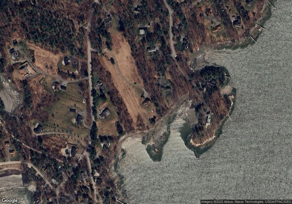
Map
Nearby Homes
- 51 Meeting House Farms Rd
- 258 Foreside Rd
- 24 York Ledge Dr
- 6 Daybreak Ln Unit 18
- 186 Foreside Rd
- 51 Oakland Ave
- 87 Wharf Rd
- 15 Sea Cove Rd
- 184 Spruce Point Rd
- 86 Pleasant St
- 52 Blueberry Cove Rd Unit 52
- 20 Blueberry Cove Rd Unit 20
- 70 Main St
- 275 Littlejohn Rd
- 24 Mast Ln
- 149 E Main St Unit 7
- 1 Railroad Square Unit Townhome C
- 1 Railroad Square Unit 103
- 1 Railroad Square Unit 205
- 1 Railroad Square Unit 305
- 670 Princes Point
- 670 Princess Point
- 61 Sea Spray Reach
- 27 Sea Spray Reach
- 9 Sea Spray Reach
- 1 Folly Cove Rd
- 91 Sea Spray Reach
- Lot 0 Princes Pt Rd
- 7 Sandpiper Cove Rd
- Lot 0 Folly Cove Rd
- 0 Folly Cove Rd Unit 1335535
- 10 Sandpiper Cove Rd
- 631 Princes Point Rd
- 734 Princes Point Rd
- 624 Princes Point Rd
- 44 Sea Spray Reach
- 10 Sandpiper Cove
- Lot#10 Sandpiper Cove Rd
- 50 Sea Spray Reach
- 82 Sea Spray Reach