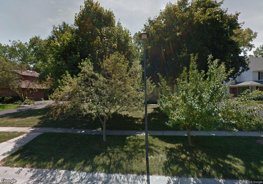
670 S Ridge Dr Perrysburg, OH 43551
Estimated Value: $451,059 - $520,000
4
Beds
3
Baths
2,929
Sq Ft
$165/Sq Ft
Est. Value
About This Home
This home is located at 670 S Ridge Dr, Perrysburg, OH 43551 and is currently estimated at $484,515, approximately $165 per square foot. 670 S Ridge Dr is a home located in Wood County with nearby schools including Fort Meigs Elementary School, Perrysburg Junior High School, and Perrysburg High School.
Ownership History
Date
Name
Owned For
Owner Type
Purchase Details
Closed on
Jul 19, 2024
Sold by
Harms James K and Harms Susan E
Bought by
James K Harms And Susan E Harms Living Trust and Harms
Current Estimated Value
Purchase Details
Closed on
Jul 19, 2005
Sold by
Holbrook Jody G and Holbrook Jessie E
Bought by
Harms James K and Harms Susan E
Home Financials for this Owner
Home Financials are based on the most recent Mortgage that was taken out on this home.
Original Mortgage
$208,400
Interest Rate
5.68%
Mortgage Type
Fannie Mae Freddie Mac
Purchase Details
Closed on
Nov 1, 1991
Bought by
Holbrook Jody G
Create a Home Valuation Report for This Property
The Home Valuation Report is an in-depth analysis detailing your home's value as well as a comparison with similar homes in the area
Home Values in the Area
Average Home Value in this Area
Purchase History
| Date | Buyer | Sale Price | Title Company |
|---|---|---|---|
| James K Harms And Susan E Harms Living Trust | -- | None Listed On Document | |
| Harms James K | $258,500 | -- | |
| Holbrook Jody G | $204,000 | -- |
Source: Public Records
Mortgage History
| Date | Status | Borrower | Loan Amount |
|---|---|---|---|
| Previous Owner | Harms James K | $208,400 |
Source: Public Records
Tax History Compared to Growth
Tax History
| Year | Tax Paid | Tax Assessment Tax Assessment Total Assessment is a certain percentage of the fair market value that is determined by local assessors to be the total taxable value of land and additions on the property. | Land | Improvement |
|---|---|---|---|---|
| 2024 | $7,557 | $130,620 | $19,250 | $111,370 |
| 2023 | $7,557 | $130,620 | $19,250 | $111,370 |
| 2021 | $6,609 | $105,140 | $17,500 | $87,640 |
| 2020 | $6,574 | $105,140 | $17,500 | $87,640 |
| 2019 | $6,127 | $93,070 | $17,500 | $75,570 |
| 2018 | $5,457 | $93,070 | $17,500 | $75,570 |
| 2017 | $5,426 | $93,070 | $17,500 | $75,570 |
| 2016 | $5,117 | $83,930 | $17,500 | $66,430 |
| 2015 | $5,117 | $83,930 | $17,500 | $66,430 |
| 2014 | $5,162 | $83,930 | $17,500 | $66,430 |
| 2013 | $5,282 | $83,930 | $17,500 | $66,430 |
Source: Public Records
Map
Nearby Homes
- 471 Rutledge Ct
- 664 Little Creek Dr
- 1626 Woodstream Rd
- 26802 Fort Meigs Rd
- 1528 Indian Creek Dr
- 28330 W River Rd
- 125 Ottekee Dr
- 2053 Lexington Dr
- 26835 Mohawk Dr
- 2062 Lexington Dr
- 26951 Ottekee Dr
- 865 Mulberry St
- 712 W Harrison St
- 220 W Wayne St
- 872 Cherry St
- 232 E Wayne St
- 234 W Dudley St
- 229 Twinbrook Dr
- 204 W 8th St
- 412 W South Boundary St
- 652 S Ridge Dr
- 688 S Ridge Dr
- 634 S Ridge Dr
- 649 S Ridge Dr
- 685 S Ridge Dr
- 509 Rutledge Ct
- 517 Rutledge Ct
- 625 S Ridge Dr
- 616 S Ridge Dr
- 458 Berkshire Dr
- 455 Berkshire Dr
- 525 Rutledge Ct
- 495 Rutledge Ct
- 607 S Ridge Dr
- 535 Rutledge Ct
- 442 Berkshire Dr
- 437 Berkshire Dr
- 598 S Ridge Dr
- 489 Rutledge Ct
- 610 Kingsborough Ct
