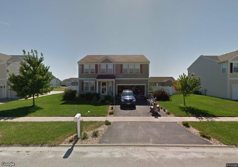
670 School Dr Bourbonnais, IL 60914
Estimated Value: $333,000 - $345,000
3
Beds
3
Baths
2,300
Sq Ft
$148/Sq Ft
Est. Value
About This Home
This home is located at 670 School Dr, Bourbonnais, IL 60914 and is currently estimated at $341,235, approximately $148 per square foot. 670 School Dr is a home located in Kankakee County with nearby schools including Noel Levasseur Elementary School, Liberty Intermediate School, and Bourbonnais Upper Grade Center.
Ownership History
Date
Name
Owned For
Owner Type
Purchase Details
Closed on
Apr 9, 2010
Sold by
Morgan Stanley Trust 2007 & 1
Bought by
Goberville Jonathan and Jensen Christina
Current Estimated Value
Create a Home Valuation Report for This Property
The Home Valuation Report is an in-depth analysis detailing your home's value as well as a comparison with similar homes in the area
Home Values in the Area
Average Home Value in this Area
Purchase History
| Date | Buyer | Sale Price | Title Company |
|---|---|---|---|
| Goberville Jonathan | $178,000 | Chicago Title Co |
Source: Public Records
Mortgage History
| Date | Status | Borrower | Loan Amount |
|---|---|---|---|
| Closed | Goberville Jonathan | $160,200 |
Source: Public Records
Tax History
| Year | Tax Paid | Tax Assessment Tax Assessment Total Assessment is a certain percentage of the fair market value that is determined by local assessors to be the total taxable value of land and additions on the property. | Land | Improvement |
|---|---|---|---|---|
| 2024 | $7,175 | $92,641 | $10,306 | $82,335 |
| 2023 | $6,563 | $85,779 | $9,543 | $76,236 |
| 2022 | $6,573 | $82,678 | $9,198 | $73,480 |
| 2021 | $6,335 | $79,450 | $8,996 | $70,454 |
| 2020 | $5,827 | $72,244 | $8,755 | $63,489 |
| 2019 | $5,509 | $67,977 | $5,412 | $62,565 |
| 2018 | $5,005 | $62,136 | $5,332 | $56,804 |
| 2017 | $4,758 | $59,007 | $5,202 | $53,805 |
| 2016 | $4,315 | $54,177 | $5,125 | $49,052 |
| 2015 | $4,099 | $51,181 | $5,074 | $46,107 |
| 2014 | $4,141 | $53,530 | $5,074 | $48,456 |
| 2013 | -- | $56,164 | $5,074 | $51,090 |
Source: Public Records
Map
Nearby Homes
- 366 Centerpoint Dr S
- 1356 Eagle Bluff Dr
- 847 Tremont St
- 859 Pheasant Run
- 5659 N 1000 West Rd
- 172 Anita Dr
- 1947 Flagstone Ave
- 54 Bonds Dr
- 180 Karen Dr
- 501 Spring Park Loop
- 471 Spring Park Loop
- 16 Kim Dr
- 22 Emery Dr
- 9 Hilltop Dr
- 59 Hanson Dr
- 42 Hanson Dr
- 1687 Jennifer Dr
- 1565 Stefanie Ln
- 1 Saint Francis Dr
- 214 Greenbriar Ln
Your Personal Tour Guide
Ask me questions while you tour the home.