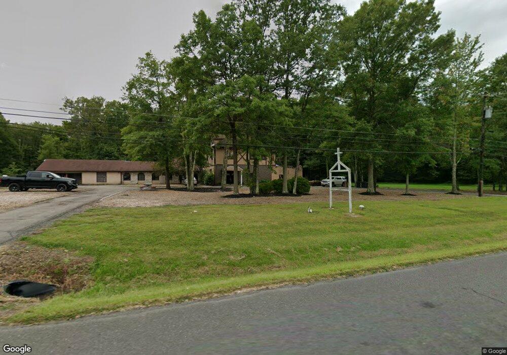
670 State Route 12 Flemington, NJ 08822
Estimated Value: $889,000 - $1,830,000
6
Beds
5
Baths
6,800
Sq Ft
$188/Sq Ft
Est. Value
About This Home
This home is located at 670 State Route 12, Flemington, NJ 08822 and is currently estimated at $1,276,252, approximately $187 per square foot. 670 State Route 12 is a home located in Hunterdon County with nearby schools including Delaware Township School and Hunterdon Central Regional High School District.
Ownership History
Date
Name
Owned For
Owner Type
Purchase Details
Closed on
Nov 27, 2018
Sold by
Ferry Llc
Bought by
Johnson Kenneth P
Current Estimated Value
Purchase Details
Closed on
Nov 2, 2018
Sold by
Mavrode Michael and Mavrode Demetra
Bought by
Mavrode Michael and Mavrode Demetra
Create a Home Valuation Report for This Property
The Home Valuation Report is an in-depth analysis detailing your home's value as well as a comparison with similar homes in the area
Home Values in the Area
Average Home Value in this Area
Purchase History
| Date | Buyer | Sale Price | Title Company |
|---|---|---|---|
| Johnson Kenneth P | -- | None Available | |
| Mavrode Michael | -- | None Available |
Source: Public Records
Tax History Compared to Growth
Tax History
| Year | Tax Paid | Tax Assessment Tax Assessment Total Assessment is a certain percentage of the fair market value that is determined by local assessors to be the total taxable value of land and additions on the property. | Land | Improvement |
|---|---|---|---|---|
| 2025 | $16,832 | $612,300 | $113,700 | $498,600 |
| 2024 | $16,397 | $612,300 | $113,700 | $498,600 |
| 2023 | $16,397 | $612,300 | $113,700 | $498,600 |
| 2022 | $15,822 | $612,300 | $113,700 | $498,600 |
| 2021 | $15,485 | $612,300 | $113,700 | $498,600 |
| 2020 | $15,816 | $612,300 | $113,700 | $498,600 |
| 2019 | $15,485 | $612,300 | $113,700 | $498,600 |
| 2018 | $15,614 | $612,300 | $113,700 | $498,600 |
| 2017 | $15,356 | $612,300 | $113,700 | $498,600 |
| 2016 | $15,234 | $612,300 | $113,700 | $498,600 |
| 2015 | $15,430 | $612,300 | $113,700 | $498,600 |
| 2014 | $16,591 | $673,600 | $175,000 | $498,600 |
Source: Public Records
Map
Nearby Homes
- 678 State Route 12
- 719 Pittstown Rd
- 550 Barbertown Point Breeze Rd
- 115 Lower Oak Grove Rd
- 144 Lower Oak Grove Rd
- 584 Oak Grove Rd
- 175 Lower Oak Grove Rd
- 150 Oak Grove Rd
- 56 Old Route12
- 181 Old Croton Rd
- 171 Old Croton Rd
- 168 Locktown Sergeantsville Rd
- 37 Barbertown Point Breeze Rd
- 364 Oak Grove Rd
- 617 County Road 579
- 92 Oak Grove Rd
- 153 Hammar Rd
- 2 Shrope Ln
- 41 Bonetown Rd
- 147 Hammar Rd
- 662 New Jersey 12
- 662 State Route 12
- 656 New Jersey 12 Unit 4
- 656 New Jersey 12 Unit 5
- 683 State Route 12
- 683 Highway 12
- 674 State Route 12
- 685 Highway 12 Unit 2
- 681 State Route 12
- 681 New Jersey 12
- 721 State Route 12
- 721 Highway 12
- 679 State Route 12
- 660 State Route 12
- 676 State Route 12
- 676 State Route 12
- 675 State Route 12
- 658 State Route 12
- 659 State Route 12
- 673 State Route 12