670 State Route 303 Streetsboro, OH 44241
Estimated Value: $323,000 - $375,105
4
Beds
3
Baths
1,787
Sq Ft
$194/Sq Ft
Est. Value
About This Home
This home is located at 670 State Route 303, Streetsboro, OH 44241 and is currently estimated at $347,526, approximately $194 per square foot. 670 State Route 303 is a home located in Portage County with nearby schools including Henry Defer Intermediate Elementary School, Streetsboro Middle School, and Streetsboro High School.
Ownership History
Date
Name
Owned For
Owner Type
Purchase Details
Closed on
Jun 24, 2020
Sold by
Koerner Lynn A
Bought by
Sizemore Cynthia A
Current Estimated Value
Home Financials for this Owner
Home Financials are based on the most recent Mortgage that was taken out on this home.
Original Mortgage
$228,000
Outstanding Balance
$202,105
Interest Rate
3.2%
Mortgage Type
New Conventional
Estimated Equity
$145,421
Purchase Details
Closed on
Feb 17, 1995
Sold by
Secrist Ruth E
Bought by
Koerner Stephan M and Koerner Lynn A
Create a Home Valuation Report for This Property
The Home Valuation Report is an in-depth analysis detailing your home's value as well as a comparison with similar homes in the area
Home Values in the Area
Average Home Value in this Area
Purchase History
| Date | Buyer | Sale Price | Title Company |
|---|---|---|---|
| Sizemore Cynthia A | $240,000 | None Available | |
| Koerner Stephan M | $165,000 | -- |
Source: Public Records
Mortgage History
| Date | Status | Borrower | Loan Amount |
|---|---|---|---|
| Open | Sizemore Cynthia A | $228,000 |
Source: Public Records
Tax History Compared to Growth
Tax History
| Year | Tax Paid | Tax Assessment Tax Assessment Total Assessment is a certain percentage of the fair market value that is determined by local assessors to be the total taxable value of land and additions on the property. | Land | Improvement |
|---|---|---|---|---|
| 2024 | $4,468 | $107,390 | $48,270 | $59,120 |
| 2023 | $4,380 | $86,140 | $39,730 | $46,410 |
| 2022 | $4,389 | $86,140 | $39,730 | $46,410 |
| 2021 | $4,444 | $86,140 | $39,730 | $46,410 |
| 2020 | $4,359 | $77,460 | $39,730 | $37,730 |
| 2019 | $4,399 | $77,460 | $39,730 | $37,730 |
| 2018 | $3,646 | $72,180 | $37,910 | $34,270 |
| 2017 | $3,646 | $72,180 | $37,910 | $34,270 |
| 2016 | $3,619 | $72,180 | $37,910 | $34,270 |
| 2015 | $3,654 | $72,180 | $37,910 | $34,270 |
| 2014 | $3,686 | $72,180 | $37,910 | $34,270 |
| 2013 | $3,641 | $72,180 | $37,910 | $34,270 |
Source: Public Records
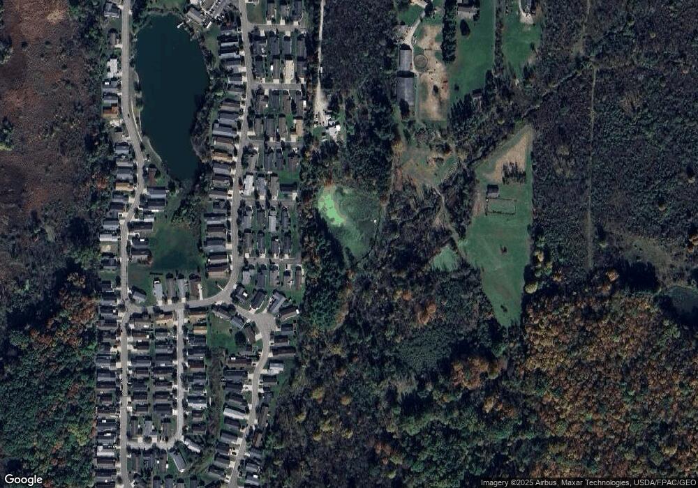
Map
Nearby Homes
- 9085 Sandpiper Dr
- 8929 Falcon Dr
- 9011 Wood Thursh
- 9005 Sandpiper Dr
- 792 State Route 303
- 701 Gold Leaf Ct
- 939 State Route 303
- 9251 Chestnut Ct
- 9247 Chestnut Ct
- 1011 Ashwood Ln
- 1013 Ashwood Ln
- 139 Mccracken Rd
- 1401 Colony Dr
- 9015 Patriot Dr Unit K4
- 708 Diane Ave
- 572 David Dr
- 8795 Kelly Ln
- 9740 Michael Dr
- 9088 State Route 14
- 1490 Evergreen Dr
- 663 Killdeer Ct
- 662 Killdeer Ct
- 651 Killdeer Ct
- 650 Killdeer Ct
- 639 Killdeer Ct
- 638 Killdeer Ct
- 641 Drake Ct
- 661 Kingfisher Ct
- 626 Killdeer Ct
- 9083 Red Hawk Dr
- 9087 Redhawk Dr
- 637 Kingfisher Ct
- 9087 Red Hawk Dr
- 640 Egret Ct
- 9091 Redhawk Dr
- 648 Kingfisher Ct
- 625 Kingfisher Ct
- 667 Egret Ct
- 636 Kingfisher Ct
- 9099 Red Hawk Dr