670 W Cliffside Dr Clarkdale, AZ 86324
Estimated Value: $113,000 - $342,000
--
Bed
--
Bath
--
Sq Ft
0.96
Acres
About This Home
This home is located at 670 W Cliffside Dr, Clarkdale, AZ 86324 and is currently estimated at $197,767. 670 W Cliffside Dr is a home located in Yavapai County with nearby schools including Clarkdale-Jerome Elementary School, Mingus Union High School, and Verde Christian Academy.
Ownership History
Date
Name
Owned For
Owner Type
Purchase Details
Closed on
Jun 3, 2022
Sold by
First American Title Insurance Company S
Bought by
Trust 7060
Current Estimated Value
Purchase Details
Closed on
Apr 11, 2016
Sold by
Peters Gerald E and Parsley Roger L
Bought by
Lindner Michael J
Purchase Details
Closed on
Aug 3, 2015
Sold by
Owens James D and Owens Jody A
Bought by
Peters Gerald E and Parsley Roger L
Purchase Details
Closed on
May 18, 2001
Sold by
Bordenave George J and Bordenave Rose B
Bought by
Owens James D and Owens Jody A
Home Financials for this Owner
Home Financials are based on the most recent Mortgage that was taken out on this home.
Original Mortgage
$34,800
Interest Rate
7.14%
Mortgage Type
New Conventional
Create a Home Valuation Report for This Property
The Home Valuation Report is an in-depth analysis detailing your home's value as well as a comparison with similar homes in the area
Home Values in the Area
Average Home Value in this Area
Purchase History
| Date | Buyer | Sale Price | Title Company |
|---|---|---|---|
| Trust 7060 | -- | First American Title | |
| Lindner Michael J | $105,000 | Yavapai Title Agency Inc | |
| Peters Gerald E | $54,565 | Yavapai Title | |
| Owens James D | $43,500 | Chicago Title Insurance Co |
Source: Public Records
Mortgage History
| Date | Status | Borrower | Loan Amount |
|---|---|---|---|
| Previous Owner | Owens James D | $34,800 |
Source: Public Records
Tax History Compared to Growth
Tax History
| Year | Tax Paid | Tax Assessment Tax Assessment Total Assessment is a certain percentage of the fair market value that is determined by local assessors to be the total taxable value of land and additions on the property. | Land | Improvement |
|---|---|---|---|---|
| 2026 | $862 | -- | -- | -- |
| 2024 | $844 | -- | -- | -- |
| 2023 | $844 | $11,283 | $11,283 | $0 |
| 2022 | $830 | $7,368 | $7,368 | $0 |
| 2021 | $842 | $8,451 | $8,451 | $0 |
| 2020 | $824 | $0 | $0 | $0 |
| 2019 | $807 | $0 | $0 | $0 |
| 2018 | $772 | $0 | $0 | $0 |
| 2017 | $744 | $0 | $0 | $0 |
| 2016 | $722 | $0 | $0 | $0 |
| 2015 | -- | $0 | $0 | $0 |
| 2014 | -- | $0 | $0 | $0 |
Source: Public Records
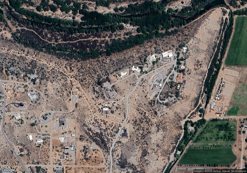
Map
Nearby Homes
- 625 E Cliffside Dr
- 695 E Cliffside Dr
- 561 El Rancho Dr
- 452 Geary Heights Rd
- 0 Geary Heights Rd
- 1580 Whitetail Run
- 1535 Javelina Hill Rd
- 0 S Broadway
- 1345 Whitetail Run
- 1102 Nicklaus Dr
- 1081 Crenshaw Ave Unit 187
- 1100 Crenshaw Ave Unit 191
- 1084 Crenshaw Ave Unit 194
- 798 Palisades Dr
- 1066 Crenshaw Ave Unit 197
- 1064 Crenshaw Ave Unit 198
- 1054 Crenshaw Ave Unit 200
- 1086 Watson Dr Unit 134
- 1055 Watson Dr Unit 220
- 1052 Nelson Place Unit 217