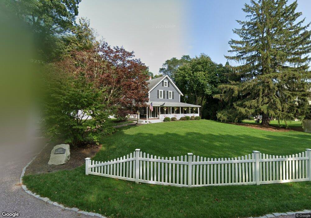
670 Webster St Marshfield, MA 02050
Estimated Value: $508,000 - $714,000
3
Beds
1
Bath
1,452
Sq Ft
$419/Sq Ft
Est. Value
About This Home
This home is located at 670 Webster St, Marshfield, MA 02050 and is currently estimated at $608,467, approximately $419 per square foot. 670 Webster St is a home located in Plymouth County with nearby schools including Daniel Webster, Furnace Brook Middle School, and Marshfield High School.
Ownership History
Date
Name
Owned For
Owner Type
Purchase Details
Closed on
Jul 24, 2015
Sold by
Kinsman Gary J and Kinsman Barbara A
Bought by
Kinsman Gary J and Kinsman Barbara A
Current Estimated Value
Purchase Details
Closed on
Jul 24, 1987
Sold by
South Shore Rlty Tr
Bought by
Kinsman Gary J
Create a Home Valuation Report for This Property
The Home Valuation Report is an in-depth analysis detailing your home's value as well as a comparison with similar homes in the area
Home Values in the Area
Average Home Value in this Area
Purchase History
| Date | Buyer | Sale Price | Title Company |
|---|---|---|---|
| Kinsman Gary J | -- | -- | |
| Kinsman Gary J | -- | -- | |
| Kinsman Gary J | $123,000 | -- |
Source: Public Records
Mortgage History
| Date | Status | Borrower | Loan Amount |
|---|---|---|---|
| Previous Owner | Kinsman Gary J | $220,000 | |
| Previous Owner | Kinsman Gary J | $60,000 | |
| Previous Owner | Kinsman Gary J | $190,850 |
Source: Public Records
Tax History
| Year | Tax Paid | Tax Assessment Tax Assessment Total Assessment is a certain percentage of the fair market value that is determined by local assessors to be the total taxable value of land and additions on the property. | Land | Improvement |
|---|---|---|---|---|
| 2025 | $5,748 | $580,600 | $302,800 | $277,800 |
| 2024 | $5,563 | $535,400 | $288,400 | $247,000 |
| 2023 | $4,974 | $475,200 | $267,800 | $207,400 |
| 2022 | $4,974 | $384,100 | $216,300 | $167,800 |
| 2021 | $4,940 | $374,500 | $214,300 | $160,200 |
| 2020 | $4,642 | $348,200 | $195,700 | $152,500 |
| 2019 | $4,548 | $339,900 | $195,700 | $144,200 |
| 2018 | $4,544 | $339,900 | $195,700 | $144,200 |
| 2017 | $4,392 | $320,100 | $185,400 | $134,700 |
| 2016 | $4,215 | $303,700 | $175,100 | $128,600 |
| 2015 | $4,036 | $303,700 | $175,100 | $128,600 |
| 2014 | -- | $280,200 | $160,700 | $119,500 |
Source: Public Records
Map
Nearby Homes
- 660 Webster St
- 680 Webster St
- 658 Webster St
- 688 Webster St
- 696 Webster St
- 685 Webster St
- 704 Webster St
- 12 Fresh Brook Way
- 699 Webster St
- 12 Fresh Brooke Way
- 710 Webster St
- 714 Webster St
- 8 Fresh Brook Way
- 713 Webster St
- 7 Fresh Brook Way
- 7 Fresh Brook Way Unit 7
- 720 Webster St Unit 12
- 730 Webster St
- 610 Webster St
- 726 Webster St
Your Personal Tour Guide
Ask me questions while you tour the home.