670 Winslow Ln West Lafayette, IN 47906
Estimated Value: $551,000 - $632,000
4
Beds
3
Baths
3,200
Sq Ft
$183/Sq Ft
Est. Value
About This Home
This home is located at 670 Winslow Ln, West Lafayette, IN 47906 and is currently estimated at $584,301, approximately $182 per square foot. 670 Winslow Ln is a home located in Tippecanoe County with nearby schools including Battle Ground Elementary School, Battle Ground Middle School, and William Henry Harrison High School.
Ownership History
Date
Name
Owned For
Owner Type
Purchase Details
Closed on
Mar 30, 2023
Sold by
Ely Jennifer
Bought by
Ely Paul D
Current Estimated Value
Home Financials for this Owner
Home Financials are based on the most recent Mortgage that was taken out on this home.
Original Mortgage
$345,000
Outstanding Balance
$335,091
Interest Rate
6.42%
Mortgage Type
New Conventional
Estimated Equity
$249,210
Purchase Details
Closed on
Sep 27, 2002
Sold by
Bruce Gunstra Builders Inc
Bought by
Ely Paul and Ely Jennifer
Home Financials for this Owner
Home Financials are based on the most recent Mortgage that was taken out on this home.
Original Mortgage
$136,981
Interest Rate
6.39%
Purchase Details
Closed on
Mar 19, 2002
Sold by
Sutter R Gregg
Bought by
Bruce Gunstra Builders Inc
Create a Home Valuation Report for This Property
The Home Valuation Report is an in-depth analysis detailing your home's value as well as a comparison with similar homes in the area
Home Values in the Area
Average Home Value in this Area
Purchase History
| Date | Buyer | Sale Price | Title Company |
|---|---|---|---|
| Ely Paul D | -- | Metropolitan Title | |
| Ely Paul | -- | -- | |
| Bruce Gunstra Builders Inc | -- | -- |
Source: Public Records
Mortgage History
| Date | Status | Borrower | Loan Amount |
|---|---|---|---|
| Open | Ely Paul D | $345,000 | |
| Previous Owner | Ely Paul | $136,981 | |
| Closed | Ely Paul | $25,680 |
Source: Public Records
Tax History Compared to Growth
Tax History
| Year | Tax Paid | Tax Assessment Tax Assessment Total Assessment is a certain percentage of the fair market value that is determined by local assessors to be the total taxable value of land and additions on the property. | Land | Improvement |
|---|---|---|---|---|
| 2024 | $2,638 | $374,400 | $65,700 | $308,700 |
| 2023 | $2,858 | $355,900 | $65,700 | $290,200 |
| 2022 | $2,879 | $334,100 | $65,700 | $268,400 |
| 2021 | $2,771 | $319,100 | $65,700 | $253,400 |
| 2020 | $2,671 | $317,600 | $65,700 | $251,900 |
| 2019 | $2,646 | $313,700 | $65,700 | $248,000 |
| 2018 | $2,605 | $314,700 | $65,700 | $249,000 |
| 2017 | $2,641 | $315,900 | $65,700 | $250,200 |
| 2016 | $2,600 | $313,600 | $65,700 | $247,900 |
| 2014 | $2,493 | $305,600 | $65,700 | $239,900 |
| 2013 | $1,762 | $238,600 | $65,700 | $172,900 |
Source: Public Records
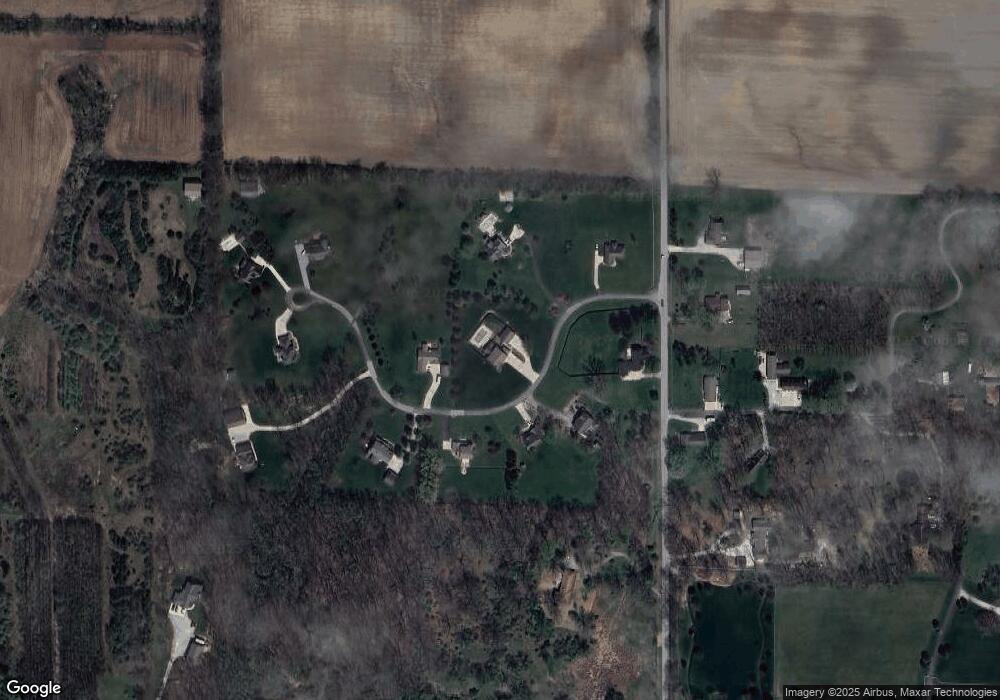
Map
Nearby Homes
- 689 Winslow Ln
- 6519 Ironclad Way
- Lincoln Plan at The Preserve
- Van Buren Plan at The Preserve
- Jefferson Plan at The Preserve
- Harrison Plan at The Preserve
- Reagan Plan at The Preserve
- Taylor Plan at The Preserve
- Arthur Plan at The Preserve
- Eisenhower Plan at The Preserve
- Monroe Plan at The Preserve
- 6101 Gilwell Dr
- Promenade Plan at The Courtyards at Belle Terra
- Capri Plan at The Courtyards at Belle Terra
- Palazzo Plan at The Courtyards at Belle Terra
- Verona Plan at The Courtyards at Belle Terra
- Portico Plan at The Courtyards at Belle Terra
- Torino Plan at The Courtyards at Belle Terra
- 6100 Gilwell Dr
- 631 Tamarind Dr