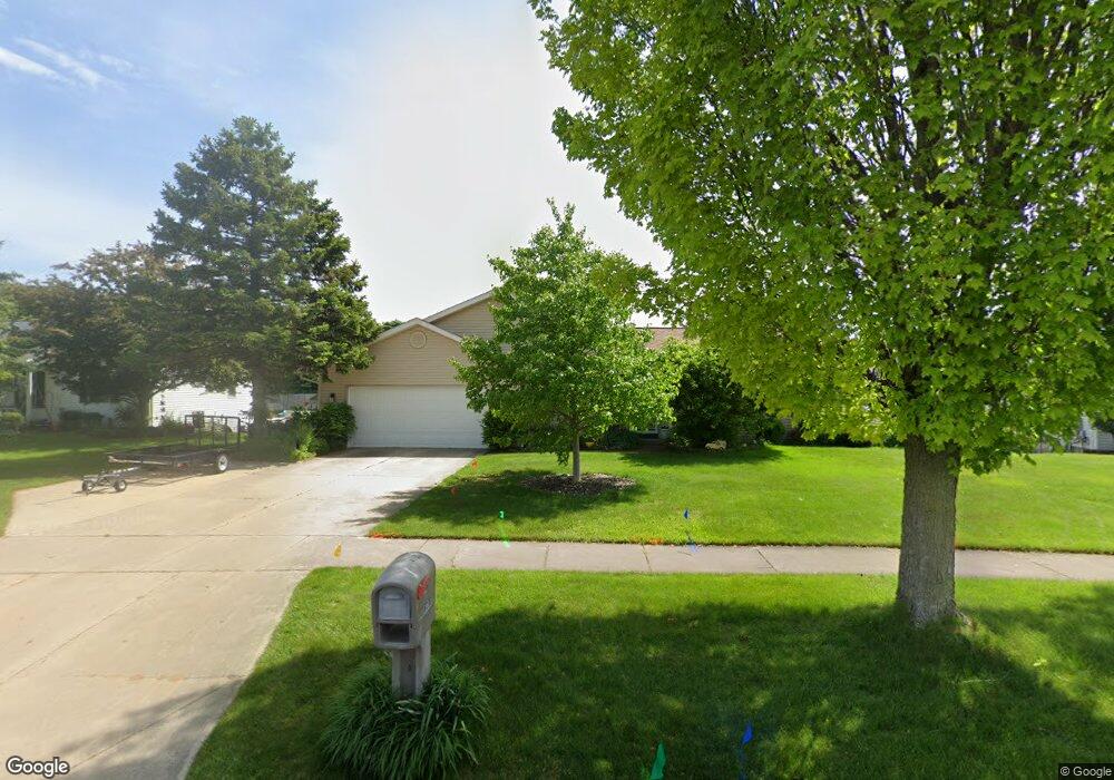
6700 Airfield Ct SW Byron Center, MI 49315
Estimated Value: $444,570 - $499,000
4
Beds
4
Baths
2,580
Sq Ft
$184/Sq Ft
Est. Value
About This Home
This home is located at 6700 Airfield Ct SW, Byron Center, MI 49315 and is currently estimated at $474,143, approximately $183 per square foot. 6700 Airfield Ct SW is a home located in Kent County with nearby schools including Marshall Elementary School, Robert L. Nickels Intermediate School, and Byron Center West Middle School.
Ownership History
Date
Name
Owned For
Owner Type
Purchase Details
Closed on
Dec 8, 2010
Sold by
Deutsche Bank National Trust Company
Bought by
Harris Paul W
Current Estimated Value
Purchase Details
Closed on
Feb 10, 2010
Sold by
Hamady Lynn and Hamady Richard D
Bought by
Deutsche Bank National Trust Company
Create a Home Valuation Report for This Property
The Home Valuation Report is an in-depth analysis detailing your home's value as well as a comparison with similar homes in the area
Home Values in the Area
Average Home Value in this Area
Purchase History
| Date | Buyer | Sale Price | Title Company |
|---|---|---|---|
| Harris Paul W | $147,000 | Parks Title | |
| Deutsche Bank National Trust Company | $227,157 | None Available |
Source: Public Records
Tax History Compared to Growth
Tax History
| Year | Tax Paid | Tax Assessment Tax Assessment Total Assessment is a certain percentage of the fair market value that is determined by local assessors to be the total taxable value of land and additions on the property. | Land | Improvement |
|---|---|---|---|---|
| 2025 | $2,036 | $194,400 | $0 | $0 |
| 2024 | $2,036 | $186,200 | $0 | $0 |
| 2023 | $1,947 | $156,500 | $0 | $0 |
| 2022 | $2,714 | $146,200 | $0 | $0 |
| 2021 | $2,641 | $126,500 | $0 | $0 |
| 2020 | $1,792 | $119,200 | $0 | $0 |
| 2019 | $2,577 | $112,700 | $0 | $0 |
| 2018 | $2,524 | $99,200 | $18,500 | $80,700 |
| 2017 | $2,456 | $93,400 | $0 | $0 |
| 2016 | $2,368 | $87,900 | $0 | $0 |
| 2015 | $2,328 | $87,900 | $0 | $0 |
| 2013 | -- | $74,800 | $0 | $0 |
Source: Public Records
Map
Nearby Homes
- 6787 Sunfield Dr SW
- 1171 Runway Place SW
- 6696 Highmeadow Dr SW
- 6455 Silverton Dr
- 1010 Bellview Meadow Dr SW Unit 68
- 1012 Bellview Meadow Dr SW
- 6471 Estate Dr SW
- 6450 Estate Dr SW
- 6455 Estate Dr SW
- 6540 Kingtree Dr SW
- 1493 Dexter Dr SW Unit 34
- 1501 Dexter St SW Unit 35
- 1531 Dexter Dr SW Unit 37
- 6840 Burlingame Ave SW
- 907 Amber View Dr SW
- 1058 Amberwood West Dr SW
- 924 Amberwood West Dr SW
- 6559 Burlingame Ave SW
- 7074 Nantucket Dr SW
- 825 Amber Ridge Dr SW
- 6686 Airfield Ct SW
- 6710 Airfield Ct SW
- 6685 Sunfield Dr SW
- 6701 Sunfield Dr SW
- 6671 Sunfield Dr SW
- 6674 Airfield Ct SW
- 6717 Sunfield Dr SW
- 6651 Sunfield Dr SW
- 6731 Sunfield Dr SW
- 6709 Airfield Ct SW
- 6639 Sunfield Dr SW
- 6670 Airfield Ct SW
- 6691 Airfield Ct SW
- 6721 Airfield Ct SW
- 6732 Airfield Ct SW
- 6623 Sunfield Dr SW
- 6681 Airfield Ct SW
- 1216 Airfield Dr SW
- 6735 Airfield Ct SW
- 6671 Airfield Ct SW