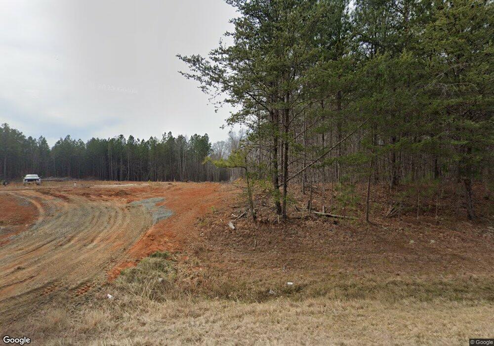
6700 Alvis Brooks Rd Oxford, NC 27565
Estimated Value: $396,000 - $601,341
3
Beds
2
Baths
1,914
Sq Ft
$261/Sq Ft
Est. Value
About This Home
This home is located at 6700 Alvis Brooks Rd, Oxford, NC 27565 and is currently estimated at $498,835, approximately $260 per square foot. 6700 Alvis Brooks Rd is a home located in Granville County with nearby schools including West Oxford Elementary School, Northern Granville Middle School, and J.F. Webb High School.
Ownership History
Date
Name
Owned For
Owner Type
Purchase Details
Closed on
May 12, 2021
Sold by
Strickland Fannie Daniel and Strickland Roy B
Bought by
Eci Custom Homes Inc
Current Estimated Value
Home Financials for this Owner
Home Financials are based on the most recent Mortgage that was taken out on this home.
Original Mortgage
$348,000
Interest Rate
3.1%
Mortgage Type
Future Advance Clause Open End Mortgage
Create a Home Valuation Report for This Property
The Home Valuation Report is an in-depth analysis detailing your home's value as well as a comparison with similar homes in the area
Home Values in the Area
Average Home Value in this Area
Purchase History
| Date | Buyer | Sale Price | Title Company |
|---|---|---|---|
| Eci Custom Homes Inc | $163,500 | None Available |
Source: Public Records
Mortgage History
| Date | Status | Borrower | Loan Amount |
|---|---|---|---|
| Closed | Eci Custom Homes Inc | $348,000 |
Source: Public Records
Tax History Compared to Growth
Tax History
| Year | Tax Paid | Tax Assessment Tax Assessment Total Assessment is a certain percentage of the fair market value that is determined by local assessors to be the total taxable value of land and additions on the property. | Land | Improvement |
|---|---|---|---|---|
| 2025 | $3,127 | $484,292 | $118,534 | $365,758 |
| 2024 | $3,127 | $484,292 | $118,534 | $365,758 |
| 2023 | $2,281 | $243,736 | $42,312 | $201,424 |
| 2022 | $1,656 | $182,867 | $42,312 | $140,555 |
| 2021 | $638 | $74,970 | $74,970 | $0 |
| 2020 | $219 | $25,100 | $0 | $0 |
| 2019 | $219 | $74,970 | $74,970 | $0 |
| 2018 | $219 | $74,970 | $74,970 | $0 |
| 2016 | $302 | $90,772 | $90,772 | $0 |
| 2015 | $285 | $90,772 | $90,772 | $0 |
| 2013 | -- | $78,336 | $78,336 | $0 |
Source: Public Records
Map
Nearby Homes
- 2097 Satterwhite Rd
- 2085 Satterwhite Rd
- 2077 Satterwhite Rd
- 1665 Satterwhite Rd
- 8001-8025 Cornwall Rd
- 2665 Bodie Currin Rd
- 7085 Bayberry Dr
- 7567 Sam Hall Rd
- 6035 Mary Lee Dr
- 2605 Joe Pruitt Rd
- 24 Acres Bob Daniel Rd
- 6049 Mulberry Ln
- 7701 Goshen Rd
- 6063 N Carolina 96
- 7537 Sam Young Rd
- 3506 Cascade Ct
- 6527 U S 15
- 6079 Zachary Ln
- 001 Sam Young Rd
- . Sam Young Rd
- 2103 Satterwhite Rd
- 6682 Alvis Brooks Rd
- 6685 Alvis Brooks Rd
- 6781 Nc Highway 96
- 6683 Alvis Brooks Rd
- 6687 Alvis Brooks Rd
- 2111 Satterwhite Rd
- 6777 State Highway 96
- 6777 N Carolina 96
- 6777 Nc Highway 96
- 6777 Nc Highway 96
- 6771 Nc Highway 96
- 2093 Satterwhite Rd
- 2089 Satterwhite Rd Unit 3
- 2089 Satterwhite Rd
- 6774 Nc Highway 96
- 2081 Satterwhite Rd
- 7034 Frederick Rd
- 7040 Frederick Rd
- 7040 Frederick Rd
