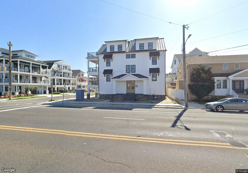
6700 Atlantic Ave Ventnor City, NJ 08406
Estimated Value: $1,634,000 - $2,783,000
--
Bed
--
Bath
2,392
Sq Ft
$916/Sq Ft
Est. Value
About This Home
This home is located at 6700 Atlantic Ave, Ventnor City, NJ 08406 and is currently estimated at $2,190,528, approximately $915 per square foot. 6700 Atlantic Ave is a home located in Atlantic County with nearby schools including Ventnor Elementary School, Ventnor Middle School, and St. James Elementary School.
Ownership History
Date
Name
Owned For
Owner Type
Purchase Details
Closed on
May 28, 2003
Sold by
Zuckerman Dr Stuart
Bought by
Borda Frank and Borda Teresa
Current Estimated Value
Home Financials for this Owner
Home Financials are based on the most recent Mortgage that was taken out on this home.
Original Mortgage
$351,200
Outstanding Balance
$154,400
Interest Rate
5.83%
Mortgage Type
Purchase Money Mortgage
Estimated Equity
$2,036,128
Create a Home Valuation Report for This Property
The Home Valuation Report is an in-depth analysis detailing your home's value as well as a comparison with similar homes in the area
Home Values in the Area
Average Home Value in this Area
Purchase History
| Date | Buyer | Sale Price | Title Company |
|---|---|---|---|
| Borda Frank | $439,000 | -- | |
| Borda Frank | $439,000 | Surety Title Agency Of Atlan |
Source: Public Records
Mortgage History
| Date | Status | Borrower | Loan Amount |
|---|---|---|---|
| Open | Borda Frank | $351,200 | |
| Closed | Borda Frank | $351,200 |
Source: Public Records
Tax History Compared to Growth
Tax History
| Year | Tax Paid | Tax Assessment Tax Assessment Total Assessment is a certain percentage of the fair market value that is determined by local assessors to be the total taxable value of land and additions on the property. | Land | Improvement |
|---|---|---|---|---|
| 2025 | $29,634 | $1,084,300 | $557,700 | $752,300 |
| 2024 | $29,634 | $1,084,300 | $557,700 | $752,300 |
| 2023 | $17,711 | $557,700 | $557,700 | $0 |
| 2022 | $17,711 | $688,600 | $557,700 | $130,900 |
| 2021 | $17,821 | $688,600 | $557,700 | $130,900 |
| 2020 | $17,842 | $688,600 | $557,700 | $130,900 |
| 2019 | $17,800 | $688,600 | $557,700 | $130,900 |
| 2018 | $18,138 | $688,600 | $557,700 | $130,900 |
| 2017 | $18,234 | $688,600 | $557,700 | $130,900 |
| 2016 | $16,723 | $765,000 | $700,000 | $65,000 |
| 2015 | $18,541 | $856,000 | $712,500 | $143,500 |
| 2014 | $17,625 | $856,000 | $712,500 | $143,500 |
Source: Public Records
Map
Nearby Homes
- 101 S Buffalo Ave
- 6709 Atlantic Ave
- 1 S Wissahickon Ave
- 2 A N Buffalo Ave
- 2 B N Buffalo Ave
- 4 S Newark Ave
- 3 N Wissahickon Ave
- 2 S Newark Ave
- 18 N Buffalo Ave
- 18 N Buffalo #B Ave
- 2 N Newark Ave
- 5 N New Haven Unit Ave Unit C3A
- 26 N Richards Ave
- 5 N Newport Ave
- 114 S Princeton Ave
- 6304 Ventnor Ave
- 6302 Ventnor Ave
- 102 N Richards Ave
- 6 N Portland Ave
- 113 N Richards Ave
- 102 S Troy Ave
- 6704 Atlantic Ave
- 103 S Richards Ave
- 101 S Richards Ave
- 106 S Troy Ave
- 6606 Atlantic Ave
- 105 S Richards Ave
- 103 S Troy Ave
- 108 S Troy Ave
- 6703-B Altantic Ave
- 6703B Atlantic Ave
- 6703 Atlantic Ave Unit B
- 6703 Atlantic Ave
- 107 S Richards Ave
- 6701 Atlantic Ave
- 6701 Atlantic Avenue - 2nd Floor
- 6701 Atlantic Avenue - 1st Floor
- 6705 Atlantic Ave
- 100 S Richards Avenue First Floor