6700 Brooks Ln Loomis, CA 95650
Estimated Value: $1,154,000 - $1,864,000
4
Beds
4
Baths
2,937
Sq Ft
$485/Sq Ft
Est. Value
About This Home
This home is located at 6700 Brooks Ln, Loomis, CA 95650 and is currently estimated at $1,423,094, approximately $484 per square foot. 6700 Brooks Ln is a home located in Placer County with nearby schools including Del Oro High School, Loomis Basin Charter School, and Sierra Foothills Academy.
Ownership History
Date
Name
Owned For
Owner Type
Purchase Details
Closed on
Jun 4, 2013
Sold by
Waller Rendell Lee and Waller Gail Anne
Bought by
Waller Rendell Lee and Waller Gail Anne
Current Estimated Value
Home Financials for this Owner
Home Financials are based on the most recent Mortgage that was taken out on this home.
Original Mortgage
$200,000
Interest Rate
3.51%
Mortgage Type
New Conventional
Purchase Details
Closed on
Apr 17, 2013
Sold by
Waller Rendell Lee and Waller Gail Anne
Bought by
Waller Gail Anne and Waller Rendell Lee
Home Financials for this Owner
Home Financials are based on the most recent Mortgage that was taken out on this home.
Original Mortgage
$200,000
Interest Rate
3.51%
Mortgage Type
New Conventional
Purchase Details
Closed on
Oct 7, 2005
Sold by
Waller Rendell and Waller Gail A
Bought by
Waller Rendell Lee and Waller Gail Anne
Create a Home Valuation Report for This Property
The Home Valuation Report is an in-depth analysis detailing your home's value as well as a comparison with similar homes in the area
Home Values in the Area
Average Home Value in this Area
Purchase History
| Date | Buyer | Sale Price | Title Company |
|---|---|---|---|
| Waller Rendell Lee | -- | None Available | |
| Waller Gail Anne | -- | First American Title Insuran | |
| Waller Rendell Lee | -- | -- |
Source: Public Records
Mortgage History
| Date | Status | Borrower | Loan Amount |
|---|---|---|---|
| Closed | Waller Gail Anne | $200,000 |
Source: Public Records
Tax History
| Year | Tax Paid | Tax Assessment Tax Assessment Total Assessment is a certain percentage of the fair market value that is determined by local assessors to be the total taxable value of land and additions on the property. | Land | Improvement |
|---|---|---|---|---|
| 2025 | $4,972 | $486,140 | $69,800 | $416,340 |
| 2023 | $4,972 | $429,106 | $67,091 | $362,015 |
| 2022 | $4,874 | $420,693 | $65,776 | $354,917 |
| 2021 | $4,745 | $412,445 | $64,487 | $347,958 |
| 2020 | $4,684 | $408,217 | $63,826 | $344,391 |
| 2019 | $4,600 | $400,214 | $62,575 | $337,639 |
| 2018 | $4,360 | $392,368 | $61,349 | $331,019 |
| 2017 | $4,282 | $384,676 | $60,147 | $324,529 |
| 2016 | $4,188 | $377,134 | $58,968 | $318,166 |
| 2015 | $4,099 | $371,470 | $58,083 | $313,387 |
| 2014 | $4,032 | $364,195 | $56,946 | $307,249 |
Source: Public Records
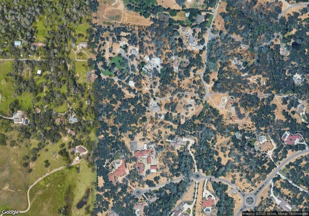
Map
Nearby Homes
- 5 Wishing Well Rd
- 4 Wishing Well Rd
- 6 Wishing Well Rd
- 6806-Lot 25 Rutherford Canyon Rd
- 7125 Loomis Hills Rd
- 5726 Secret Creek Dr
- 5738 Golden Pond Dr
- 5740 Golden Pond Dr
- 5638 Lakepointe Dr
- 5331 Barton Rd
- 5475 Laird Rd
- 4841 Val Verde Rd
- 7333 Surette Ln
- 5900 Morgan Place
- 4835 Val Verde Rd
- 7257 Surette Ln
- 1000 Creekside Ln
- 5854 Brace Rd
- 6225 Wells Ave
- 5585 E Saint Francis Cir Unit E
- 6584 Oakridge Dr
- 6640 Brooks Ln
- 6745 Brooks Ln
- 5606 Shady Canyon Ct
- 6500 Oakridge Dr
- 5610 Shady Canyon Ct
- 6601 Oakridge Dr
- 6835 Brooks Ln
- 5616 Shady Canyon Ct
- 6490 Oakridge Dr
- 6090 Nute Rd
- 6480 Oakridge Dr
- 5611 Shady Canyon Ct Unit 46
- 5611 Shady Canyon Ct
- 6495 Oakridge Dr
- 5615 Shady Canyon Ct
- 6750 Brooks Ln
- 6845 Brooks Ln
- 5600 Shady Canyon Ct
- 6619 Wishing Well Way
Your Personal Tour Guide
Ask me questions while you tour the home.