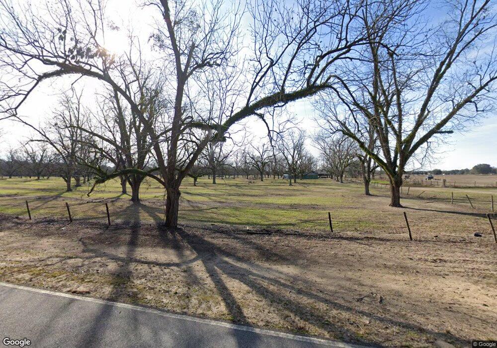
6700 Hardup Rd Albany, GA 31721
Estimated Value: $168,000
3
Beds
2
Baths
2,290
Sq Ft
$73/Sq Ft
Est. Value
About This Home
This home is located at 6700 Hardup Rd, Albany, GA 31721 and is currently estimated at $168,000, approximately $73 per square foot. 6700 Hardup Rd is a home located in Dougherty County with nearby schools including Martin Luther King Jr. Elementary School, Southside Middle School, and Monroe High School.
Ownership History
Date
Name
Owned For
Owner Type
Purchase Details
Closed on
Jan 20, 2010
Sold by
Nonami Enterprises Inc
Bought by
Nonami Oglethorpe Llc
Current Estimated Value
Purchase Details
Closed on
Dec 14, 2009
Sold by
Nonami Oglethorpe Llc
Bought by
Georgia Land Trust Inc
Purchase Details
Closed on
Nov 17, 2009
Sold by
Nonami Enterprises Inc
Bought by
Nonami Llc
Purchase Details
Closed on
Oct 7, 2002
Sold by
Finney Veola and Johnson James Harrell
Bought by
Nonami Enterprises Inc
Purchase Details
Closed on
Aug 3, 1988
Sold by
Cousins Thomas
Bought by
Nonami Enterprises
Create a Home Valuation Report for This Property
The Home Valuation Report is an in-depth analysis detailing your home's value as well as a comparison with similar homes in the area
Home Values in the Area
Average Home Value in this Area
Purchase History
| Date | Buyer | Sale Price | Title Company |
|---|---|---|---|
| Nonami Oglethorpe Llc | -- | -- | |
| Georgia Land Trust Inc | -- | -- | |
| Nonami Llc | -- | -- | |
| Nonami Enterprises Inc | -- | -- | |
| Nonami Enterprises | $5,778,000 | -- |
Source: Public Records
Tax History Compared to Growth
Tax History
| Year | Tax Paid | Tax Assessment Tax Assessment Total Assessment is a certain percentage of the fair market value that is determined by local assessors to be the total taxable value of land and additions on the property. | Land | Improvement |
|---|---|---|---|---|
| 2024 | $81,558 | $4,187,392 | $4,015,080 | $172,312 |
| 2023 | $79,522 | $4,187,392 | $4,015,080 | $172,312 |
| 2022 | $77,684 | $4,187,392 | $4,015,080 | $172,312 |
| 2021 | $70,064 | $4,187,392 | $4,015,080 | $172,312 |
| 2020 | $68,429 | $4,187,392 | $4,015,080 | $172,312 |
| 2019 | $66,849 | $4,187,392 | $4,015,080 | $172,312 |
| 2018 | $0 | $4,187,392 | $4,015,080 | $172,312 |
| 2017 | $59,091 | $4,187,392 | $4,015,080 | $172,312 |
| 2016 | $57,881 | $4,187,392 | $4,015,080 | $172,312 |
| 2015 | $56,537 | $4,187,392 | $4,015,080 | $172,312 |
| 2014 | $186,750 | $4,702,728 | $4,119,120 | $583,608 |
Source: Public Records
Map
Nearby Homes
- 2906 Barnaby Dr
- 2914 Barnaby Dr
- 2910 Barnaby Dr
- 2902 Barnaby Dr
- 2803 Spelman Dr
- 3402 Radium Springs Rd
- 1503 Lily Pond Rd
- 000 Lily Pond Rd
- 100 Honeysuckle Dr
- 1610 Lily Pond Rd
- 1224 Nixon Dr
- 4411 Nichols St
- 4431 Stagecoach Rd
- 1830 Liberty Expy SE
- 1508 Liberty Expy SE
- 2417 Cherry Laurel Ln
- 5616 Newton Rd
- 454 Poinciana Ave
- 206 Raintree Dr
- 410 Redbud Rd
- 3725 Victory St
- 3730 Victory St
- 1004 James Cross Ave
- 1001 Butternut Ave
- 1002 James Cross Ave
- 1006 James Cross Ave
- 1000 James Cross Ave
- 1008 James Cross Ave
- 1010 James Cross Ave
- 1012 James Cross Ave
- 3720 Namdi St
- 3728 Namdi St
- 906 James Cross Ave
- 3718 Namdi St
- 3716 Namdi St
- 3714 Namdi St
- 1005 James Cross Ave
- 1001 James Cross Ave
- 911 James Cross Ave
- 1004 Butternut Ave
