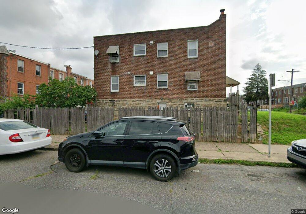
6700 Horrocks St Philadelphia, PA 19149
Castor Gardens NeighborhoodEstimated Value: $288,000 - $306,000
4
Beds
--
Bath
1,540
Sq Ft
$193/Sq Ft
Est. Value
About This Home
This home is located at 6700 Horrocks St, Philadelphia, PA 19149 and is currently estimated at $297,000, approximately $192 per square foot. 6700 Horrocks St is a home located in Philadelphia County with nearby schools including Gilbert Spruance School, Northeast High School, and Gospel of Grace Christian School.
Ownership History
Date
Name
Owned For
Owner Type
Purchase Details
Closed on
Oct 11, 2013
Sold by
Lakefront Holdings Llc
Bought by
Louie For Liang
Current Estimated Value
Purchase Details
Closed on
Oct 3, 2013
Sold by
Arabia Caren
Bought by
Lakefront Holdings Llc
Purchase Details
Closed on
May 8, 1997
Sold by
Arabia Thomas J and Arabia Yolanda
Bought by
Arabia Thomas J and Arabia Caren
Create a Home Valuation Report for This Property
The Home Valuation Report is an in-depth analysis detailing your home's value as well as a comparison with similar homes in the area
Home Values in the Area
Average Home Value in this Area
Purchase History
| Date | Buyer | Sale Price | Title Company |
|---|---|---|---|
| Louie For Liang | $80,000 | None Available | |
| Lakefront Holdings Llc | $51,250 | None Available | |
| Arabia Thomas J | -- | -- |
Source: Public Records
Tax History Compared to Growth
Tax History
| Year | Tax Paid | Tax Assessment Tax Assessment Total Assessment is a certain percentage of the fair market value that is determined by local assessors to be the total taxable value of land and additions on the property. | Land | Improvement |
|---|---|---|---|---|
| 2025 | $3,054 | $312,500 | $62,500 | $250,000 |
| 2024 | $3,054 | $312,500 | $62,500 | $250,000 |
| 2023 | $3,054 | $218,200 | $43,640 | $174,560 |
| 2022 | $2,429 | $218,200 | $43,640 | $174,560 |
| 2021 | $2,429 | $0 | $0 | $0 |
| 2020 | $2,429 | $0 | $0 | $0 |
| 2019 | $2,331 | $0 | $0 | $0 |
| 2018 | $2,282 | $0 | $0 | $0 |
| 2017 | $2,282 | $0 | $0 | $0 |
| 2016 | $2,282 | $0 | $0 | $0 |
| 2015 | $2,184 | $0 | $0 | $0 |
| 2014 | -- | $163,000 | $31,559 | $131,441 |
| 2012 | -- | $19,520 | $2,757 | $16,763 |
Source: Public Records
Map
Nearby Homes
- 6640 Souder St
- 6621 Sylvester St
- 6627 Oakland St
- 6541 Souder St
- 6739 Lynford St
- 6725 Eastwood St
- 1612 Magee Ave
- 6826 Sylvester St
- 1604 Magee Ave
- 1600 Magee Ave
- 6829 Horrocks St
- 6626 Lynford St
- 6827 Lynford St
- 6834 Large St
- 1535 Hellerman St
- 6900 Eastwood St
- 1500 Hellerman St
- 1501 Elbridge St
- 2011 Longshore Ave
- 6448 Akron St
- 6702 Horrocks St
- 6704 Horrocks St
- 6706 Horrocks St
- 6708 Horrocks St
- 6701 Souder St
- 6703 Souder St
- 6710 Horrocks St
- 6705 Souder St
- 6654 Horrocks St
- 6712 Horrocks St
- 6709 Souder St
- 6714 Horrocks St
- 6651 Souder St
- 6652 Horrocks St
- 6711 Souder St
- 6716 Horrocks St
- 6649 Souder St
- 6650 Horrocks St
- 6705 Horrocks St
- 6701 Horrocks St