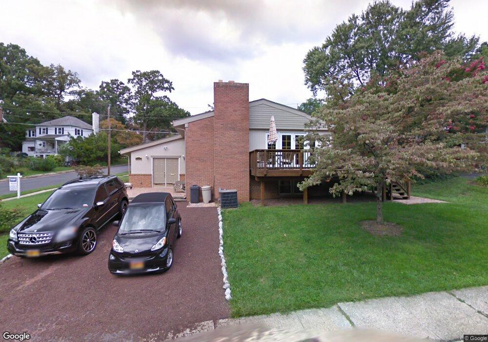
6700 Maxalea Rd Idlewylde, MD 21239
Estimated Value: $431,000 - $610,000
4
Beds
2
Baths
1,484
Sq Ft
$366/Sq Ft
Est. Value
About This Home
This home is located at 6700 Maxalea Rd, Idlewylde, MD 21239 and is currently estimated at $542,803, approximately $365 per square foot. 6700 Maxalea Rd is a home located in Baltimore County with nearby schools including Stoneleigh Elementary School, Dumbarton Middle School, and Towson High Law & Public Policy.
Ownership History
Date
Name
Owned For
Owner Type
Purchase Details
Closed on
Jan 20, 2010
Sold by
Whetstone Pamela
Bought by
Snyder Michael C and Snyder Meagan C
Current Estimated Value
Purchase Details
Closed on
Oct 12, 2000
Sold by
Glock Charles
Bought by
Whetstone Pamela
Purchase Details
Closed on
Aug 16, 1967
Sold by
Mortimer Harold E and Mortimer Norma
Bought by
Glock Charles
Create a Home Valuation Report for This Property
The Home Valuation Report is an in-depth analysis detailing your home's value as well as a comparison with similar homes in the area
Home Values in the Area
Average Home Value in this Area
Purchase History
| Date | Buyer | Sale Price | Title Company |
|---|---|---|---|
| Snyder Michael C | $395,000 | -- | |
| Whetstone Pamela | $155,000 | -- | |
| Glock Charles | $25,500 | -- |
Source: Public Records
Tax History
| Year | Tax Paid | Tax Assessment Tax Assessment Total Assessment is a certain percentage of the fair market value that is determined by local assessors to be the total taxable value of land and additions on the property. | Land | Improvement |
|---|---|---|---|---|
| 2025 | $5,848 | $483,000 | $104,000 | $379,000 |
| 2024 | $5,848 | $453,867 | $0 | $0 |
| 2023 | $2,815 | $424,733 | $0 | $0 |
| 2022 | $5,381 | $395,600 | $95,600 | $300,000 |
| 2021 | $4,966 | $383,067 | $0 | $0 |
| 2020 | $4,966 | $370,533 | $0 | $0 |
| 2019 | $4,771 | $358,000 | $95,600 | $262,400 |
| 2018 | $4,616 | $340,933 | $0 | $0 |
| 2017 | $4,266 | $323,867 | $0 | $0 |
| 2016 | $4,462 | $306,800 | $0 | $0 |
| 2015 | $4,462 | $306,800 | $0 | $0 |
| 2014 | $4,462 | $306,800 | $0 | $0 |
Source: Public Records
Map
Nearby Homes
- 12 Stone Ridge Ct
- 6923 Summit Cir
- 664 Regester Ave
- 6750 Glenkirk Rd
- 722 Anneslie Rd
- 625 Dunkirk Rd
- 1204 Saint Andrews Way
- 310 Worthington Rd
- 6504 Crestwood Rd
- 633 Anneslie Rd
- 613 Anneslie Rd
- 615 Overbrook Rd
- 6225 Chinquapin Pkwy
- 501 Stoneleigh Rd
- 1211 Brixton Rd
- 1117 Walker Ave
- 529 Overbrook Rd
- 6702 Queens Ferry Rd
- 517 Worcester Rd
- 1322 Limit Ave
- 6702 Maxalea Rd
- 7001 Kenleigh Rd
- 6703 Maxalea Rd
- 6701 Maxalea Rd
- 6919 Kenleigh Rd
- 7003 Kenleigh Rd
- 803 Litchfield Rd
- 6704 Maxalea Rd
- 6917 Kenleigh Rd
- 6705 Maxalea Rd
- 7005 Kenleigh Rd
- 6915 Kenleigh Rd
- 803 Oak Hill Ct
- 6706 Maxalea Rd
- 806 Litchfield Rd
- 807 Litchfield Rd
- 918 Wellington Rd
- 919 Wellington Rd
- 6913 Kenleigh Rd
- 801 Maxalea Ct
Your Personal Tour Guide
Ask me questions while you tour the home.