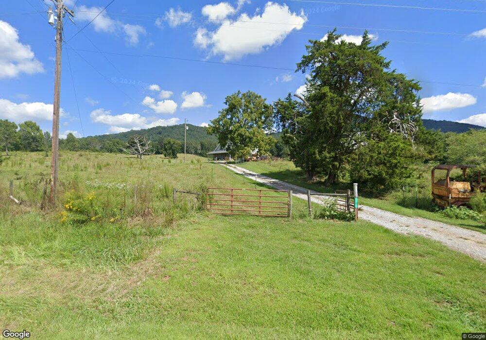
6700 Ransom Free Rd Clermont, GA 30527
Estimated Value: $696,000 - $1,535,159
3
Beds
3
Baths
2,716
Sq Ft
$420/Sq Ft
Est. Value
About This Home
This home is located at 6700 Ransom Free Rd, Clermont, GA 30527 and is currently estimated at $1,140,720, approximately $420 per square foot. 6700 Ransom Free Rd is a home with nearby schools including Wauka Mountain Elementary School, North Hall Middle School, and North Hall High School.
Ownership History
Date
Name
Owned For
Owner Type
Purchase Details
Closed on
May 8, 2017
Sold by
Bratten Ruenell
Bought by
Sizemore Wayland Keith
Current Estimated Value
Purchase Details
Closed on
Mar 7, 2014
Sold by
Bratten Ruenell
Bought by
Bratten Ruenell
Purchase Details
Closed on
Dec 15, 1999
Sold by
Bratten William F
Bought by
Bratten Walton Frederick
Purchase Details
Closed on
Jan 31, 1998
Sold by
Bratten William F
Bought by
Bratten William F
Purchase Details
Closed on
Feb 21, 1997
Bought by
Bratten William F
Create a Home Valuation Report for This Property
The Home Valuation Report is an in-depth analysis detailing your home's value as well as a comparison with similar homes in the area
Home Values in the Area
Average Home Value in this Area
Purchase History
| Date | Buyer | Sale Price | Title Company |
|---|---|---|---|
| Sizemore Wayland Keith | -- | -- | |
| Bratten Ruenell | -- | -- | |
| Bratten Ruenell | -- | -- | |
| Bratten Walton Frederick | -- | -- | |
| Bratten William F | -- | -- | |
| Bratten William F | -- | -- |
Source: Public Records
Tax History Compared to Growth
Tax History
| Year | Tax Paid | Tax Assessment Tax Assessment Total Assessment is a certain percentage of the fair market value that is determined by local assessors to be the total taxable value of land and additions on the property. | Land | Improvement |
|---|---|---|---|---|
| 2024 | $6,544 | $518,680 | $279,840 | $238,840 |
| 2023 | $3,727 | $381,800 | $174,480 | $207,320 |
| 2022 | $4,568 | $325,920 | $164,600 | $161,320 |
| 2021 | $3,488 | $232,000 | $116,880 | $115,120 |
| 2020 | $2,460 | $265,360 | $147,920 | $117,440 |
| 2019 | $2,029 | $234,760 | $177,120 | $57,640 |
| 2018 | $444 | $178,920 | $177,120 | $1,800 |
| 2017 | $428 | $178,920 | $177,120 | $1,800 |
| 2016 | $407 | $1,800 | $0 | $1,800 |
| 2015 | $580 | $1,800 | $0 | $1,800 |
| 2014 | $580 | $1,800 | $0 | $1,800 |
Source: Public Records
Map
Nearby Homes
- 0 Wauka Ridge Rd
- LOT 34 Wauka Ridge Rd
- 132 Wauka Mountain Rd
- 675 Wauka Ridge Rd
- 6564 Sunset Dr
- 00 Deer Run Trail
- 6618 Kenimer Rd
- 966 Wahoo Creek Rd
- 6147 Dahlonega Hwy
- 0 Wauka Mountain Terrace Unit 10601154
- 6.2 Mincey Acres Dr
- 6632 Mountain Meadow Dr
- 6752 Shoal Creek Rd
- 3.65 Ac Emory Stephens Rd
- 3.65AC Emory Stephens Rd
- LOT 24 Luther Palmer Rd
- 0 Roseberry Ln
- 6708 Clermont Hwy
- 0 Westmoreland Rd Unit 10596625
- 455 Long Mountain Ct
- 6697 Ransom Free Rd
- 96 Wauka Ridge Rd Unit 30
- 96 Wauka Trail Unit 30
- 96 Wauka Trail
- 7092 Homer White Rd
- LOT 30 TRACT B Wauka Ridge Rd
- LOT 30 TRACT B Wauka Ridge Rd Unit LOT 30 TRACT B
- 1377 Ransom Free Rd
- 6669 Ransom Free Rd
- 0 Wauka Ridge Rd Unit 34 8371186
- 0 Wauka Ridge Rd Unit 5970229
- 0 Wauka Ridge Rd Unit 8331800
- 0 Wauka Ridge Rd Unit 34 8273566
- 0 Wauka Ridge Rd Unit 38 8227505
- 0 Wauka Ridge Rd Unit 5881418
- 0 Wauka Ridge Rd Unit 8227505
- 0 Wauka Ridge Rd Unit 44 7479603
- 0 Wauka Ridge Rd
- 0 Wauka Ridge Rd Unit 10155705
- 0 Wauka Ridge Rd Unit 7192351