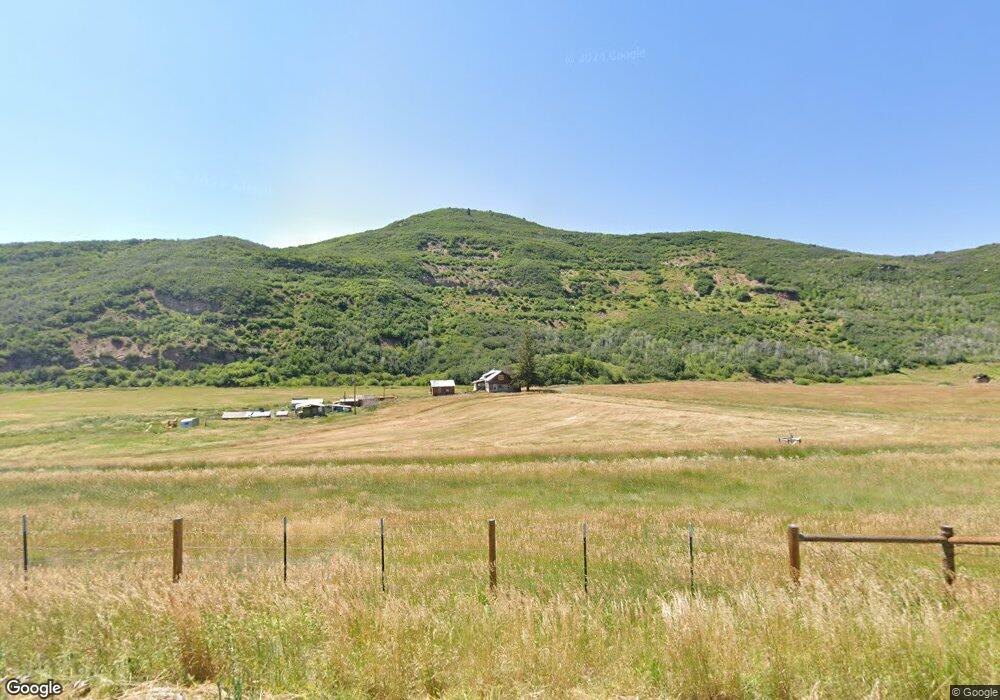
67001 Highway 330 E Collbran, CO 81624
Estimated Value: $192,534 - $386,000
2
Beds
1
Bath
1,080
Sq Ft
$268/Sq Ft
Est. Value
About This Home
This home is located at 67001 Highway 330 E, Collbran, CO 81624 and is currently estimated at $289,267, approximately $267 per square foot. 67001 Highway 330 E is a home located in Mesa County with nearby schools including Plateau Valley Elementary School, Plateau Valley Middle School, and Plateau Valley High School.
Ownership History
Date
Name
Owned For
Owner Type
Purchase Details
Closed on
Jul 14, 2025
Sold by
Jensen Ronald Warren
Bought by
Jensen Desiree and Goodwin Rebecca
Current Estimated Value
Purchase Details
Closed on
Mar 22, 2013
Sold by
Jensen Ronald W
Bought by
The Ronald W Jensen Revocable Trust
Purchase Details
Closed on
Sep 18, 2002
Sold by
Linn Arthur C
Bought by
Arthur C Linn Trust
Create a Home Valuation Report for This Property
The Home Valuation Report is an in-depth analysis detailing your home's value as well as a comparison with similar homes in the area
Home Values in the Area
Average Home Value in this Area
Purchase History
| Date | Buyer | Sale Price | Title Company |
|---|---|---|---|
| Jensen Desiree | -- | None Listed On Document | |
| The Ronald W Jensen Revocable Trust | -- | None Available | |
| Arthur C Linn Trust | -- | -- | |
| Arthur C Linn Trust | -- | -- |
Source: Public Records
Tax History Compared to Growth
Tax History
| Year | Tax Paid | Tax Assessment Tax Assessment Total Assessment is a certain percentage of the fair market value that is determined by local assessors to be the total taxable value of land and additions on the property. | Land | Improvement |
|---|---|---|---|---|
| 2024 | $423 | $7,800 | $5,550 | $2,250 |
| 2023 | $423 | $7,800 | $5,550 | $2,250 |
| 2022 | $612 | $14,290 | $4,880 | $9,410 |
| 2021 | $699 | $15,060 | $5,360 | $9,700 |
| 2020 | $580 | $12,960 | $4,470 | $8,490 |
| 2019 | $514 | $12,960 | $4,470 | $8,490 |
| 2018 | $624 | $12,940 | $4,420 | $8,520 |
| 2017 | $604 | $12,940 | $4,420 | $8,520 |
| 2016 | $596 | $12,720 | $3,440 | $9,280 |
| 2015 | $549 | $12,210 | $3,450 | $8,760 |
| 2014 | $420 | $9,280 | $3,280 | $6,000 |
Source: Public Records
Map
Nearby Homes
- 6645 64 6 10 Rd
- TBD E Highway 330
- 62495 Highway 330 E
- TBD E 330 Hwy
- 14495 Scott Loop
- 14495 Scott Loop Unit 23
- 18842 Kimball Creek Rd
- 18842 58 6 10 Rd
- 19106 Kimball Creek Rd
- 14600 N Ouray Ct
- 900 Thistle Ct
- 14250 S Ouray Ct
- 58892 Highway 330 E
- 528 Oakbrush Cir
- 58590 Pe 3 10 Rd
- 57374 Highway 330
- TBD H Oe Rd
- TBD 56 1 2 Rd
- 57191 Me Rd