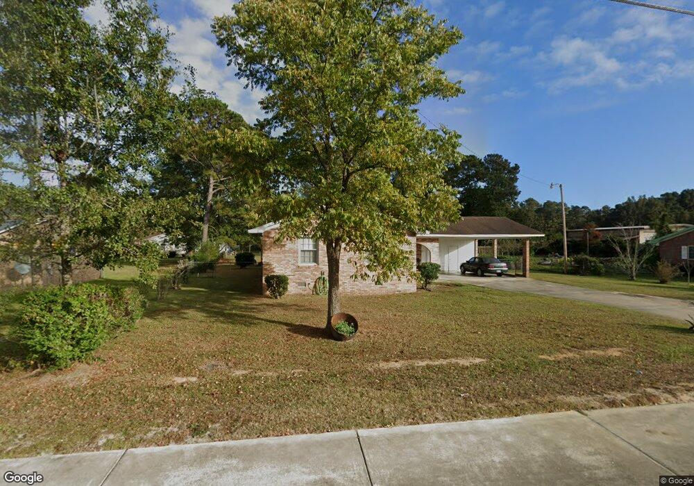
6701 Highway 707 Myrtle Beach, SC 29588
Estimated Value: $199,000 - $281,000
3
Beds
2
Baths
1,524
Sq Ft
$164/Sq Ft
Est. Value
About This Home
This home is located at 6701 Highway 707, Myrtle Beach, SC 29588 and is currently estimated at $250,034, approximately $164 per square foot. 6701 Highway 707 is a home located in Horry County with nearby schools including Burgess Elementary School, St. James Middle School, and St. James Intermediate.
Ownership History
Date
Name
Owned For
Owner Type
Purchase Details
Closed on
May 9, 2011
Sold by
Lathan Mary J
Bought by
Transportation South Carolina Department
Current Estimated Value
Purchase Details
Closed on
May 2, 2007
Sold by
Lathan James W
Bought by
Lathan Mary J
Home Financials for this Owner
Home Financials are based on the most recent Mortgage that was taken out on this home.
Original Mortgage
$76,000
Interest Rate
6.12%
Mortgage Type
Purchase Money Mortgage
Create a Home Valuation Report for This Property
The Home Valuation Report is an in-depth analysis detailing your home's value as well as a comparison with similar homes in the area
Home Values in the Area
Average Home Value in this Area
Purchase History
| Date | Buyer | Sale Price | Title Company |
|---|---|---|---|
| Transportation South Carolina Department | $19,120 | -- | |
| Lathan Mary J | $95,000 | None Available |
Source: Public Records
Mortgage History
| Date | Status | Borrower | Loan Amount |
|---|---|---|---|
| Previous Owner | Lathan Mary J | $76,000 |
Source: Public Records
Tax History Compared to Growth
Tax History
| Year | Tax Paid | Tax Assessment Tax Assessment Total Assessment is a certain percentage of the fair market value that is determined by local assessors to be the total taxable value of land and additions on the property. | Land | Improvement |
|---|---|---|---|---|
| 2024 | $388 | $9,758 | $3,615 | $6,143 |
| 2023 | $388 | $4,561 | $838 | $3,723 |
| 2021 | $332 | $7,294 | $1,504 | $5,790 |
| 2020 | $267 | $7,294 | $1,504 | $5,790 |
| 2019 | $267 | $7,294 | $1,504 | $5,790 |
| 2018 | $221 | $5,950 | $1,084 | $4,866 |
| 2017 | $206 | $3,966 | $722 | $3,244 |
| 2016 | -- | $3,966 | $722 | $3,244 |
| 2015 | $209 | $3,967 | $723 | $3,244 |
| 2014 | $195 | $3,967 | $723 | $3,244 |
Source: Public Records
Map
Nearby Homes
- 333 Ashwood Ln Unit MB
- 6357 Highway 707
- 130 Ashton Cir
- 237 Delano Way
- 201 Delano Way
- 6189 Highway 707 Unit Signalized intersect
- 104 Willow Ridge Rd
- 105 Willow Ridge Rd
- 118 Sly Fox Trail
- 7420 Springside Dr
- 280 Hidden Woods Dr
- 304 Silver Fox Trail
- 260 Fox Catcher Dr
- 249 Cabo Loop
- 3990 Lochview Dr
- 7329 Springside Dr
- 6985 Woodhaven Dr
- 279 Leste Rd
- 3910 Stillwood Dr
- 210 Portsmith Dr Unit 5
- 6675 Highway 707
- 6749 Highway 707
- 5512 Green Bay Cir
- 6653 Highway 707 Unit Green Acres
- 6653 Highway 707
- 6676 Highway 707
- 6750 Highway 707
- 5514 Green Bay Cir
- 6779 Hwy 707
- 6779 Highway 707
- 6779 Highway 707
- 5508 Green Bay Cir
- 5508 Green Bay Cir Unit Green Bay
- 6650 S Carolina 707
- 251 Dorian Lp
- 5518 Green Bay Cir
- 5515 Green Bay Cir
- 6584 S Carolina 707
- 6584 (25 AC) Highway 707
- 247 Dorian Lp