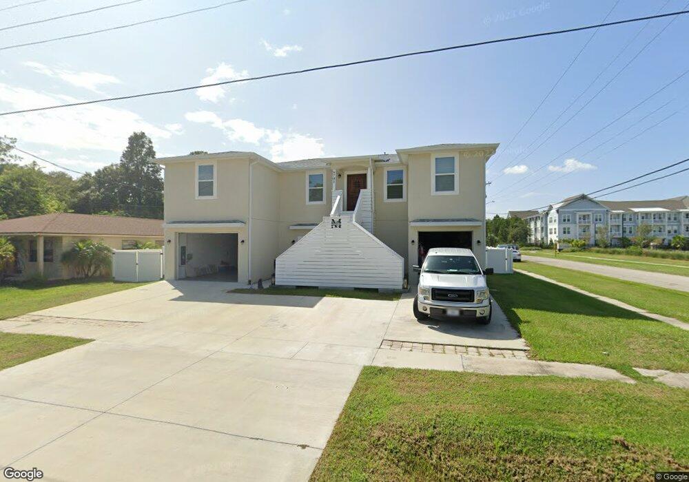
6701 S Wall St Tampa, FL 33616
Port Tampa City NeighborhoodEstimated Value: $689,000 - $741,663
4
Beds
4
Baths
2,004
Sq Ft
$355/Sq Ft
Est. Value
About This Home
This home is located at 6701 S Wall St, Tampa, FL 33616 and is currently estimated at $711,666, approximately $355 per square foot. 6701 S Wall St is a home located in Hillsborough County with nearby schools including Westshore Elementary School, Monroe Middle School, and Robinson High School.
Ownership History
Date
Name
Owned For
Owner Type
Purchase Details
Closed on
Dec 9, 2013
Sold by
Guagliardo Salvatore Joseph
Bought by
Minnear Jason and Minnear Kristine
Current Estimated Value
Purchase Details
Closed on
Nov 6, 2012
Sold by
Reilly Dairy & Food Company
Bought by
Guagliardo Salvatore Joseph
Purchase Details
Closed on
Jul 23, 1996
Sold by
Reiling Otto A
Bought by
Reilly Dairy & Food Co
Home Financials for this Owner
Home Financials are based on the most recent Mortgage that was taken out on this home.
Original Mortgage
$16,500
Interest Rate
8.27%
Create a Home Valuation Report for This Property
The Home Valuation Report is an in-depth analysis detailing your home's value as well as a comparison with similar homes in the area
Home Values in the Area
Average Home Value in this Area
Purchase History
| Date | Buyer | Sale Price | Title Company |
|---|---|---|---|
| Minnear Jason | $22,000 | Community Land Title Insuran | |
| Guagliardo Salvatore Joseph | $12,000 | Attorney | |
| Reilly Dairy & Food Co | $16,500 | -- |
Source: Public Records
Mortgage History
| Date | Status | Borrower | Loan Amount |
|---|---|---|---|
| Previous Owner | Reilly Dairy & Food Co | $16,500 |
Source: Public Records
Tax History Compared to Growth
Tax History
| Year | Tax Paid | Tax Assessment Tax Assessment Total Assessment is a certain percentage of the fair market value that is determined by local assessors to be the total taxable value of land and additions on the property. | Land | Improvement |
|---|---|---|---|---|
| 2024 | $9,629 | $533,589 | -- | -- |
| 2023 | $9,405 | $518,048 | $0 | $0 |
| 2022 | $9,170 | $502,959 | $0 | $0 |
| 2021 | $2,176 | $130,200 | $130,200 | $0 |
| 2020 | $1,981 | $116,250 | $116,250 | $0 |
| 2019 | $1,771 | $97,650 | $97,650 | $0 |
| 2018 | $1,664 | $93,000 | $0 | $0 |
| 2017 | $1,525 | $83,700 | $0 | $0 |
| 2016 | $1,434 | $63,346 | $0 | $0 |
| 2015 | $1,207 | $57,587 | $0 | $0 |
| 2014 | -- | $52,352 | $0 | $0 |
| 2013 | -- | $32,000 | $0 | $0 |
Source: Public Records
Map
Nearby Homes
- 4432 W Mccoy St
- 6811 S Hesperides St
- 6550 S West Shore Cir
- 6816 S Hesperides St
- 6812 S Cortez St
- 6808 S Elemeta St
- 4418 W Prescott St
- 8101 Interbay Blvd Unit C
- 6719 S West Shore Blvd
- 6567 S West Shore Cir
- 8407 Interbay Blvd
- 6616 S Mascotte St
- 6608 S Mascotte St
- 6603 S Mascotte St
- 6907 S Sparkman St
- 6713 S Mascotte St
- 6715 S Mascotte St
- 6963 S Manhattan Ave
- 6612 S Faul St
- 6708 S Faul St
- 6705 S Wall St
- 6709 S Wall St
- 4512 W Mccoy St
- 4510 W Mccoy St
- 4500 W McCoy St T 1
- 6706 S Trask St
- 6704 S Wall St
- 6711 S Wall St
- 6706 S Wall St
- 4441 S Lanier Dr
- 6710 S Trask St
- 4502 W Mccoy St
- 4502 W Mccoy St
- 6708 S Wall St
- 6713 S Wall St
- 4439 S Lanier Dr
- 6701 S Hesperides St
- 6703 S Hesperides St
- 4602 W Mccoy St
- 6710 S Wall St