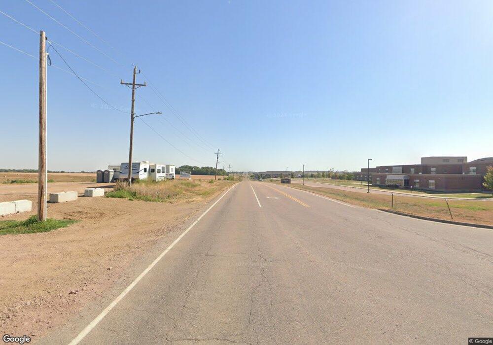
6701 W Maple St Sioux Falls, SD 57107
Northwest Sioux Falls NeighborhoodEstimated Value: $405,000 - $566,000
3
Beds
2
Baths
1,504
Sq Ft
$333/Sq Ft
Est. Value
About This Home
This home is located at 6701 W Maple St, Sioux Falls, SD 57107 and is currently estimated at $500,721, approximately $332 per square foot. 6701 W Maple St is a home located in Minnehaha County with nearby schools including Renberg Elementary School, George McGovern Middle School, and Jefferson High School - 67.
Ownership History
Date
Name
Owned For
Owner Type
Purchase Details
Closed on
Sep 12, 2023
Sold by
Otto-Pepper Audrey L and Otto Ajdrey L
Bought by
Pepper Thomas T and Otto-Pepper Audrey L
Current Estimated Value
Purchase Details
Closed on
Sep 30, 2020
Sold by
Dairy Taran and Dairy Tara
Bought by
Otto Audrey L
Home Financials for this Owner
Home Financials are based on the most recent Mortgage that was taken out on this home.
Original Mortgage
$263,000
Interest Rate
2.9%
Mortgage Type
New Conventional
Create a Home Valuation Report for This Property
The Home Valuation Report is an in-depth analysis detailing your home's value as well as a comparison with similar homes in the area
Home Values in the Area
Average Home Value in this Area
Purchase History
| Date | Buyer | Sale Price | Title Company |
|---|---|---|---|
| Pepper Thomas T | -- | -- | |
| Pepper Thomas T | -- | -- | |
| Otto Audrey L | $381,000 | None Available |
Source: Public Records
Mortgage History
| Date | Status | Borrower | Loan Amount |
|---|---|---|---|
| Previous Owner | Otto Audrey L | $263,000 |
Source: Public Records
Tax History Compared to Growth
Tax History
| Year | Tax Paid | Tax Assessment Tax Assessment Total Assessment is a certain percentage of the fair market value that is determined by local assessors to be the total taxable value of land and additions on the property. | Land | Improvement |
|---|---|---|---|---|
| 2024 | $4,012 | $386,000 | $138,100 | $247,900 |
| 2023 | $3,677 | $336,600 | $97,700 | $238,900 |
| 2022 | $2,903 | $250,900 | $75,100 | $175,800 |
| 2021 | $2,811 | $234,800 | $0 | $0 |
| 2020 | $2,811 | $236,850 | $0 | $0 |
| 2019 | $2,629 | $218,144 | $0 | $0 |
| 2018 | $2,212 | $196,401 | $0 | $0 |
| 2017 | $2,204 | $186,311 | $68,250 | $118,061 |
| 2016 | $2,204 | $186,311 | $68,250 | $118,061 |
| 2015 | $3,060 | $179,967 | $64,500 | $115,467 |
| 2014 | $2,208 | $181,032 | $64,500 | $116,532 |
Source: Public Records
Map
Nearby Homes
- 6313 Valentine St
- 6309 Valentine St
- 6401 Valentine St
- 6201 Valentine St
- 1907 N Valley View Rd
- 1911 N Valley View Rd
- 2005 N Valley View Rd
- 0 N L1 B6 Hacksaw Trail
- 0 N L2 B6 Valley View Rd
- 0 N L3 B6 Valley View Rd
- 0 N L4 B6 Valley View Rd
- 0 N L5 B6 Valley View Rd
- 0 N Rd
- 1915 N Valley View Rd
- 0 N L7 B6 Valley View Rd
- 2100 N Hacksaw Trail
- 0 N L10 B6 Valley View Rd
- 0 N L9 B6 Valley View Rd
- 0 N L11 B6 Valley View Rd
- 2108 N Hacksaw Trail
- 2333 N Valley View Rd
- 7110 W Maple St
- 2300 N Valley View Rd
- 7200 W Maple St
- 0 N L16 B6 Hacksaw Trail Unit 22302938
- 2004 N Hacksaw Trail
- 0 N L2 B6 Hacksaw Trail Unit 22302933
- 0 N L4 B6 Hacksaw Trail Unit 22302936
- 0 W Pointe Estates St Unit 37902535
- 0 Majestic Village St Unit 37901603
- 5419 W Colonial Ct Unit 36458433
- 5419 W Colonial Ct Unit 36463036
- 5419 W Colonial Ct Unit 36464346
- 5419 W Colonial Ct Unit 36496053
- 5419 W Colonial Ct Unit 36479185
- 5419 W Colonial Ct Unit 36485090
- 5419 W Colonial Ct Unit 36492856
- 5419 W Colonial Ct Unit 36490263
- 5419 W Colonial Ct Unit 36443584
- 6513 W Valentine St Unit 36489321
